
Good Morning! There will be a generous supply of random storms, over the next few days and that could lower the heat just a notch. Radar will be very colorful and active again today. The high rainfall probabilities will continue today through Monday. Showers and storms will be random but quite numerous, especially in the afternoon and evening. A frontal system that will act as a focus for the increased showers & storms. Some of the storms will put on quite a show with gusty winds, intense lightning and very heavy downpours. Here’s my brief forecast discussion.
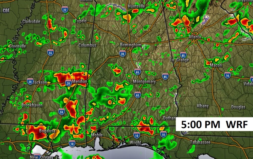
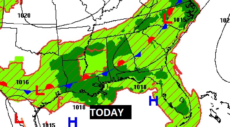
TODAY: Sun/cloud mix. High near 94. Random scattered to numerus hit or miss storms, especially in the afternoon and evening. Low tonight 73.
Again today, there a generous Spotty Random PM storms, across the Deep South. It will be feat or famine. Some storms could see heavy rainfall totals. Other towns little or none.
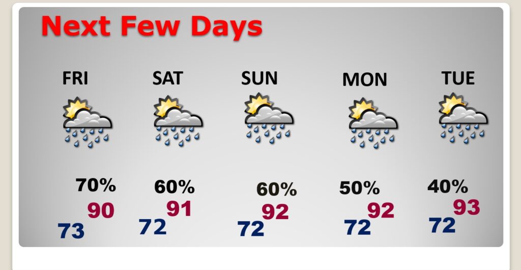
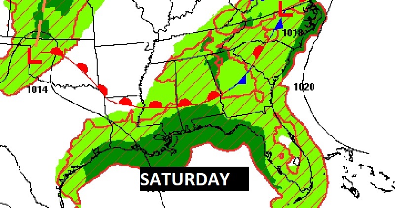
NEXT FEW DAYS: Expect scattered to numerous random, pop-up,“hit or miss” each of the next several days through Monday. The increase of showers and storms will help lower highs a notch to lower 90’s each day through the weekend and beyond.
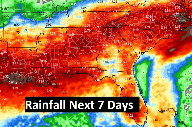
This map can be deceiving. Rainfall totals in the summer vary widey from day to day. But, the point is, numerous showers and storms will drench a multi-state area across the South for several days. It’s a very different pattern we’re entering.
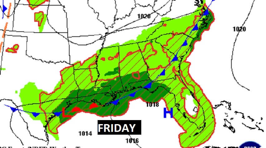
FRONTAL RELIEF. Fronts will act as a focus for increased daily storms.
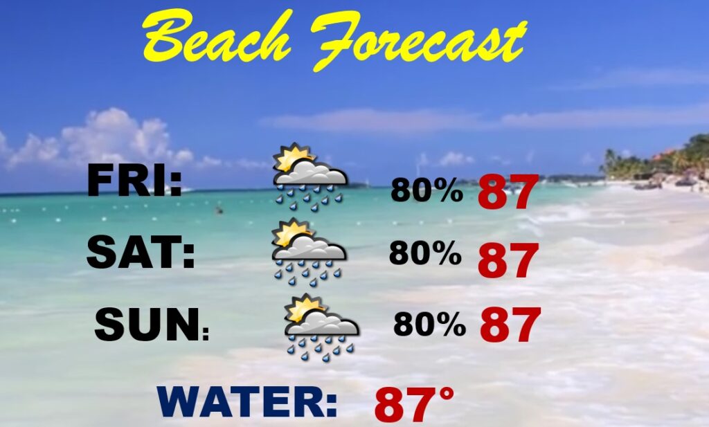
BEACH OUTLOOK: Storms will be random, but in generous supply each day. Be flexible with your plans, Highs will be in the upper 80’s. Gulf water 88. WATCH THE FLAGS ON THE BEACH for dangerous rip currents.
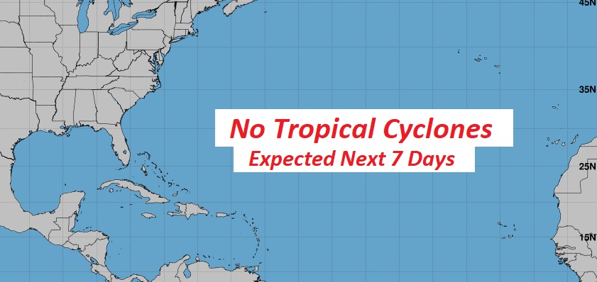
TROPICS: The tropics remain quiet for now.
Thanks for reading the blog. There will be another complete Blog update and video forecast discussion tomorrow morning. This morning, everything is normal including LIVE on the Radio from 6 to 9AM on NewsTalk 93.1 – WACV. Have a nice day!!
–Rich