Good Morning!. We have been living the dream for the last several days. We have enjoyed several days & nights of tolerable temperatures. The only major complaint has been: NO RAIN. Bone dry. The dry pattern continues for several more days. Meanwhile, that big Upper High which has brought sweltering temperatures to Texas and the Plains is migrating eastward. Next week will be a lot hotter. Expect Triple Digit Heat by Tuesday and Wednesday. Meanwhile, the tropics in the Atlantic basin continue very quiet for now.
TODAY: Near total sunshine Still Tolerable Humidity. High 93. East wind 6 to 12 mph. Tonight: Clear, comfortably. Low tonight 70.
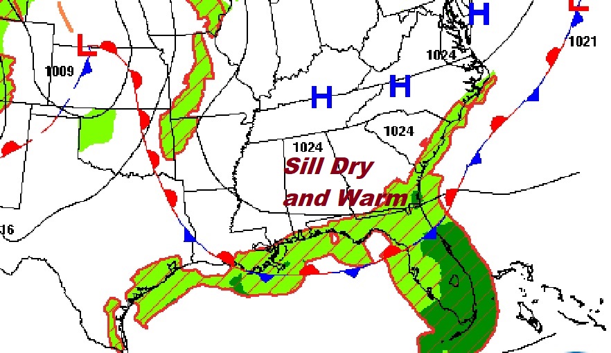
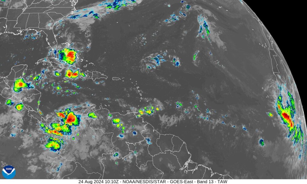
. TROPICAL: Amazing. The tropical Atlantic, the Caribbean and the Gulf of Mexico is amazingly quiet, for now.
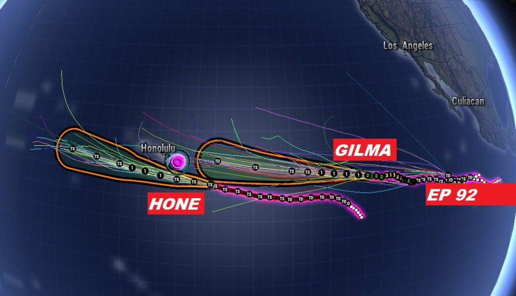
Meanwhile, the eastern and central Pacific continues very busy. Hawaii is closely watching three systems in the pipeline. First HONE this weekend. Next up Gilma. And another developing system behind that.
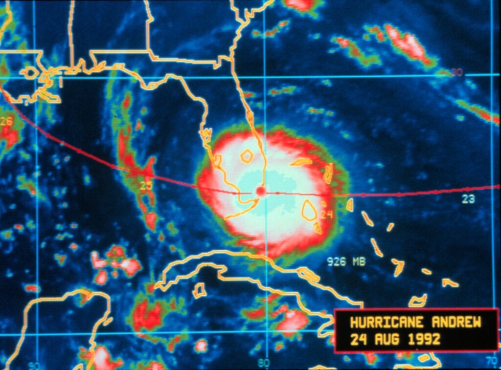
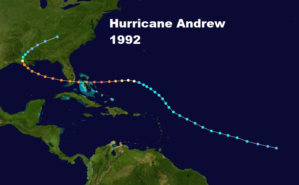
HURRICANE HISTROY. 1992: The “A’ storm came ashore in Florida just past Midnight on this date. ANDREW. The hurricane that changed the world. It was officially upgraded to Category FIVE 10 years after landfall.
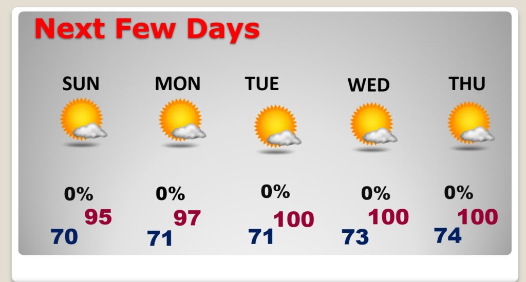
NEXT FEW DAYS: Sunshine will dominate. Highs will be well into the 90’s this weekend. E\xpect blazing heat in the week ahead. Highs will reach near 100 by Tuesday and Wednesday. It’s a dry forecast for the next several days.
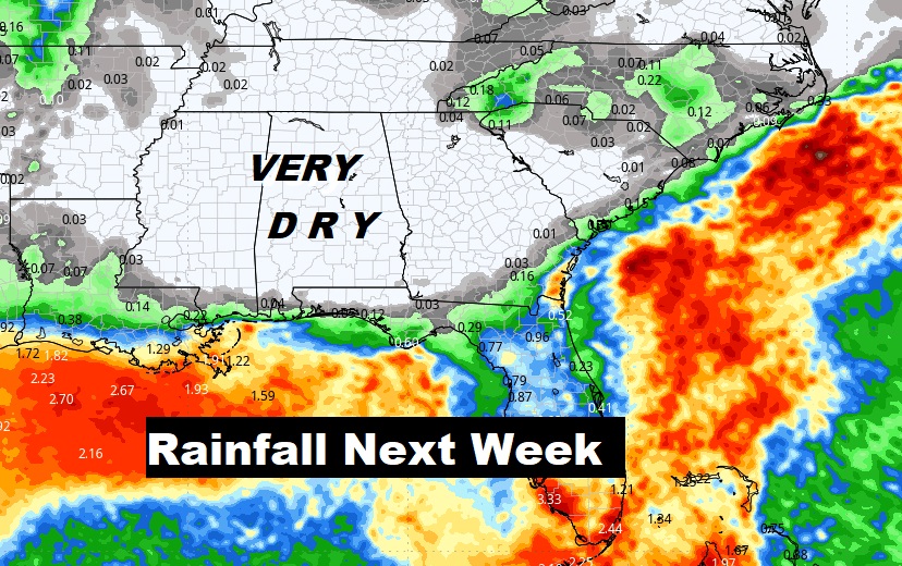
Crazy amount of rain this week in the Gulf and Florida, but dry for us.
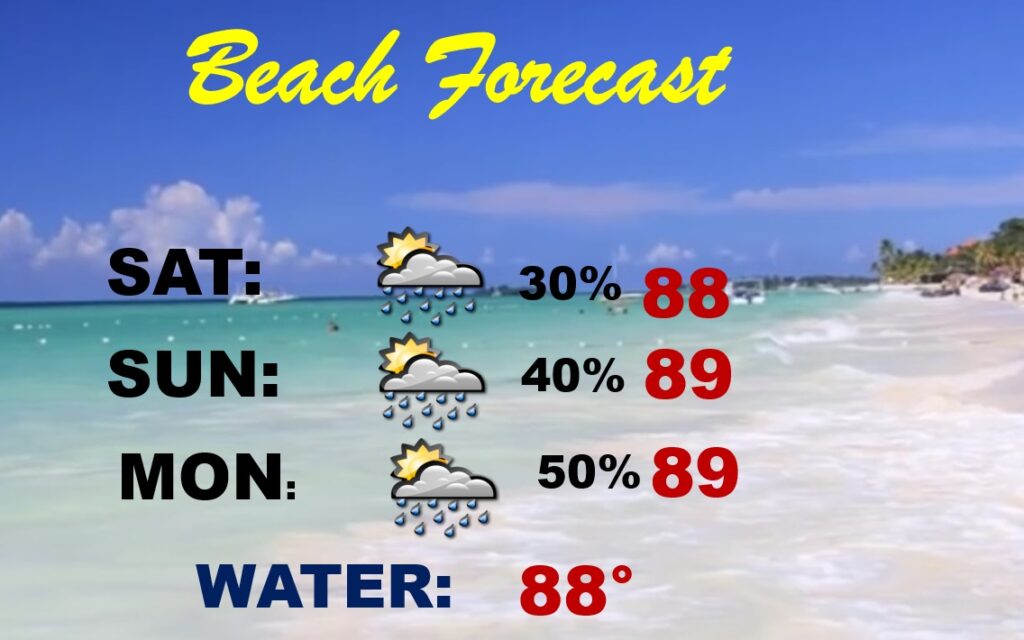
BEACH FORECAST: Scattered showers and thunderstorms each day. Highs upper 80’s to near 90. Gulf water 88.
Thanks for reading the blog. The next scheduled blog will be Monday morning, Have a nice weekend!
–Rich
