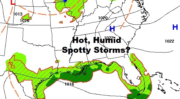
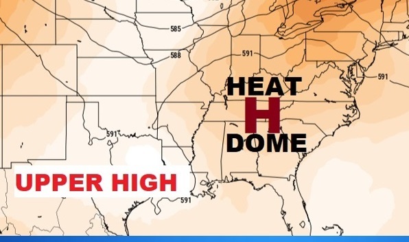
Good Morning! The Heat is on, again. The big Upper Heat Dome which has been baking the Midwest has spread eastward. Summer heat and humidity dominates the forecast through the Labor Day weekend. Tuesday high was 99 with a heat Index of 102. Today will be similar. Meanwhile, spotty random PM storms are back in the forecast each day through Monday. Storms will be few and far between today, but perhaps a little more numerous by the weekend. Here’s my brief forecast discussion.
TODAY: Mostly sunny, hot and humid. High near 97. Heat index 100-104. Spotty random pop-up storms in the afternoon & evening. Light wind. Mostly clear. Low tonight 74.
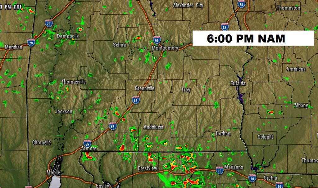
FUTURE RADAR suggests a few isolated to widely scattered showers and storms may finally populate the radar today,
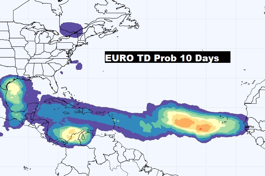
. TROPICAL: There is now two Areas to Watch. One in the tropical Atlantic heading toward the Caribbean. The other in the western Atlantic. Low end risk at the moment.
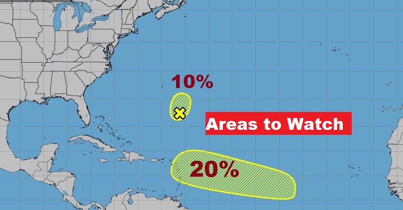
Here’s the EURO Probabilities through Day 10 for Tropical Development. The Tropics are starting to wake up.
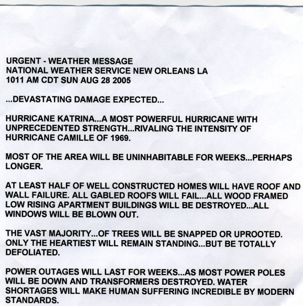
ON THIS DATE: Most chilling Special Weather Statement of all time? 19 years ago today. Written by a forecaster in Slidell as Hurricane Katrina approached, He also happened to be a resident of the lower 9th ward.
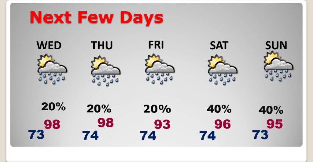
NEXT FEW DAYS: Expect some hotter days ahead. The Heat index will be in the 100 to 105 range for the rest of the week. Spotty widely scattered storms are back in the forecast for Thursday and Friday. Scattered showers and storms return over the weekend. The best chance of random storms will be Labor Day Monday.
Spotty random storms will return.
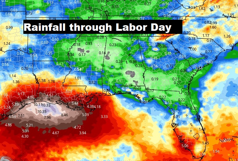
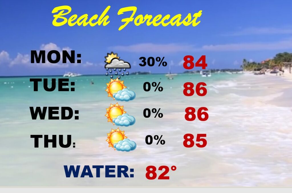
BEACH OUTLOOK:
Thanks for reading the blog. There will be another complete Blog update and video forecast discussion tomorrow morning. This morning, everything is normal including LIVE on the Radio from 6 to 9AM on NewsTalk 93.1 – WACV. Have a nice day!
–Rich
