
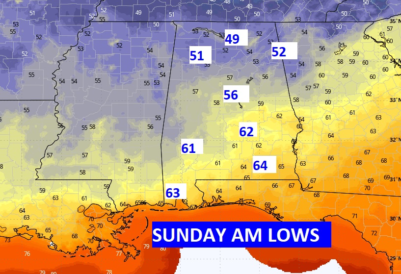
Good Morning! Today could be be the first day in months when high temperatures fail to reach 90°. A Brisk easterly breeze will gust as high as 30 mph again today. Widely scattered showers are possible, but the chances are small. Rain chances will improve Thursday. The wettest day will be Friday. Friday’s high may stay below 80°. A southward moving cold front will move through the state Saturday. It will deliver a true taste of fall. Nights and mornings, especially, will be very fall-like.
TODAY: Partly sunny and breezy. High upper 80’s to near 90. Isolated random pop-up storms in the afternoon & evening. Easterly wind 15 to 20 mph with higher guts Low 70.
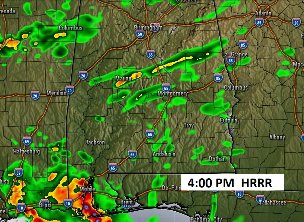
Any showers or storms today will be widely scattered.
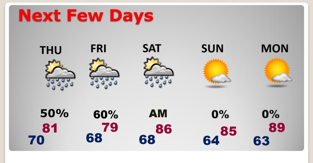
NEXT FEW DAYS: Temperatures will be noticeably cooler in the 80’s. Rain chances will improve Thursday. The highest will be Friday. Friday’s high may stay below 80°. A southward moving cold front will move through the state Saturday. It will deliver a true taste of fall. Nights and mornings, especially, will be very fall-like.
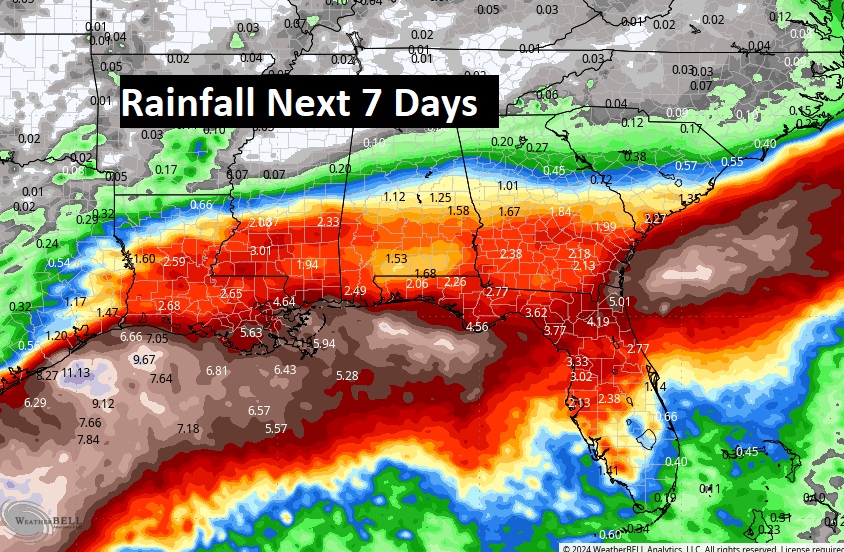
The most concentrated rain will be across the southern half of the state, especially near the coast near a stalled front.
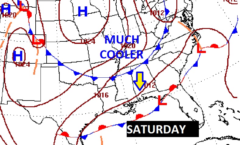
A southward moving cold front will move through the state Saturday. It will deliver a true taste of fall.
. TROPICAL: NHC is tracking three Areas to Watch. The lead disturbance is heading toward the west Caribbean and southern Gulf with a 30% chance of development. There are two other Tropical Waves bring monitored in the Tropical Atkantic .

Thanks for reading the blog. There will be another complete Blog update and video forecast discussion tomorrow morning. This morning, everything is normal including LIVE on the Radio from 6 to 9AM on NewsTalk 93.1 – WACV. Have a nice day!
–Rich