Good morning! The amazing late October warmth continues. Yesterday’s high was 88 degrees at MGM. That tied the record from 2010 and 2001. Today, and possibly Saturday we’ll be in Record Territory again. Even the nights are very mild for late October. A weak cool front will move through the state on Saturday night into Sunday. Could there be a shower somewhere in the area along the front? I’ve added a 15% chance of a shower Saturday night into early Sunday. The October rainfall at MGM is currently .02”, one of the driest on record. Monday, behind the front, will be slightly cooler, actually close to normal, And, the warmth will rebound next week. Here’s my brief forecast discussion.
TODAY: Sunny & warm. We’ll be close to the record high of 88 from 2016 and 1931. High 88. Light wind. Clear tonight. Mild for October. Low 59.
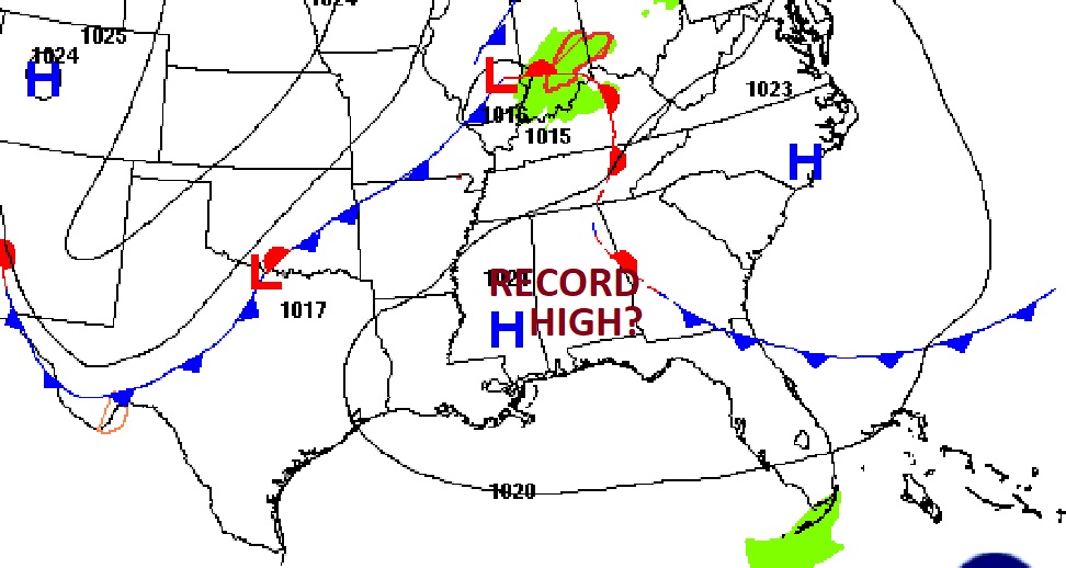
Yesterday’s low was 51 and the high was Record Tying 88. (Normal hi/Lo 77/51) Rainfall for the month of October: .02”. Deficit for the month: -2.23.
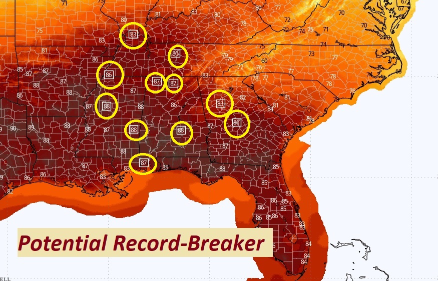
. Several Record Highs could be set across the South again today. Saturday’s record is 90 from 2010. I have us near 88.
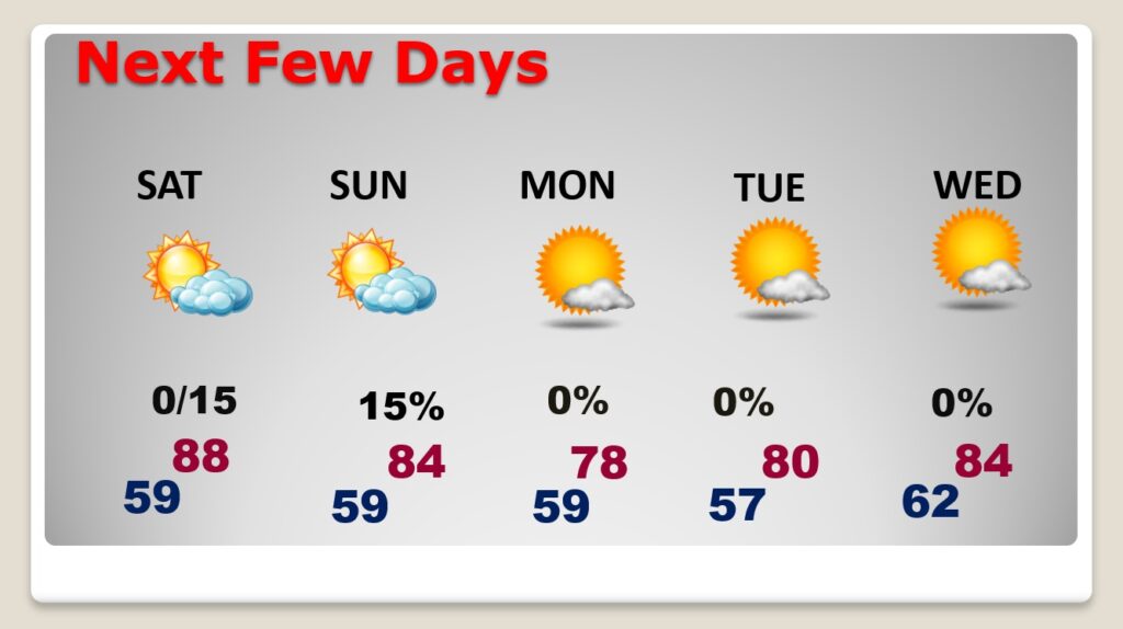
NEXT FEW DAYS: Could there be a couple of showers in our state this weekend? Saturday we’ll be in Record Territory again. Even the nights are very mild for late October. A weak cool front will move through the state on Saturday night into Sunday. Could there be a shower somewhere in the area along the front? I’ve added a 15% chance of a shower Saturday night into early Sunday. Monday will be slightly cooler behind the front.
One of the driest Octobers on record:
Driest months in Montgomery (1872-present):
October 1904 — 0.00″
October 1891 — 0.01″
October 1978 — 0.01″
October 1963 — 0.02″
October 2024* — 0.02″
October 1886 — 0.03″
September 2019 — 0.05″
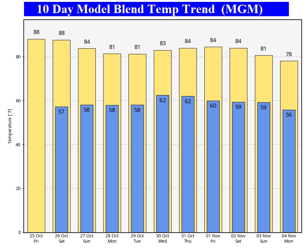
The 10 Day Model Blend Temperature Trend. The arctic flood gates will be closed for several days.
.
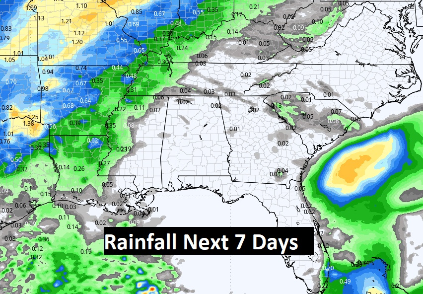
Expected rainfall through the rest of October. Stray shower or two this weekend?
.
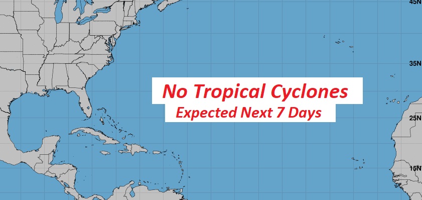
TROPICAL UPDATE: The tropics are quiet for now, NHC is not tracking any potential tropical systems in the next 7 days.
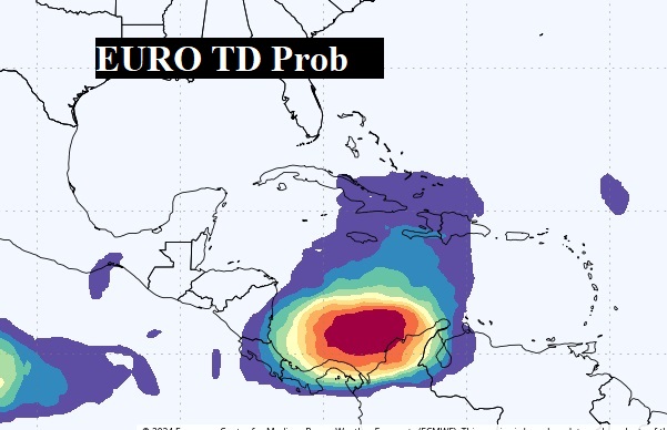
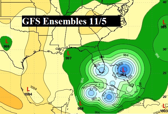
Major global models continue to hint at tropical mischief early in the first week of November in the West Caribbean.
Thanks for reading the blog. There will be another complete Blog update and video forecast discussion tomorrow morning. This morning, everything is normal including LIVE on the Radio from 6 to 9AM on NewsTalk 93.1 – WACV. Have a nice day!
–Rich
