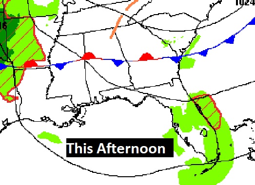
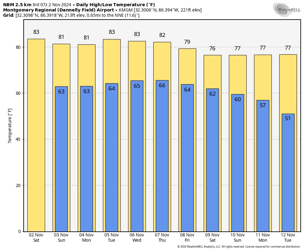
Good morning! Our long very warm and dry pattern rolls through this first November weekend. Expect more dry and very warm weather through early next week. Highs will be in the low tow to mid 80’s each day through Thursday. Nights will continue in the very mild 60’s. And, there’s still no rain drops in our future until perhaps Tuesday Night. Scattered showers could be a little mor numerous Wednesday. Don’t for get to Fall Back tonight. Set the clocks back an hour.
TODAY: Sun and cloud mix. More clouds than sun. Very Warm. High 84. Normal 70/47. East wind 6 to 12 mph. Mostly cloudy tonight . Low 64.
FIRE DANGER expands to all Alabama counties. counties
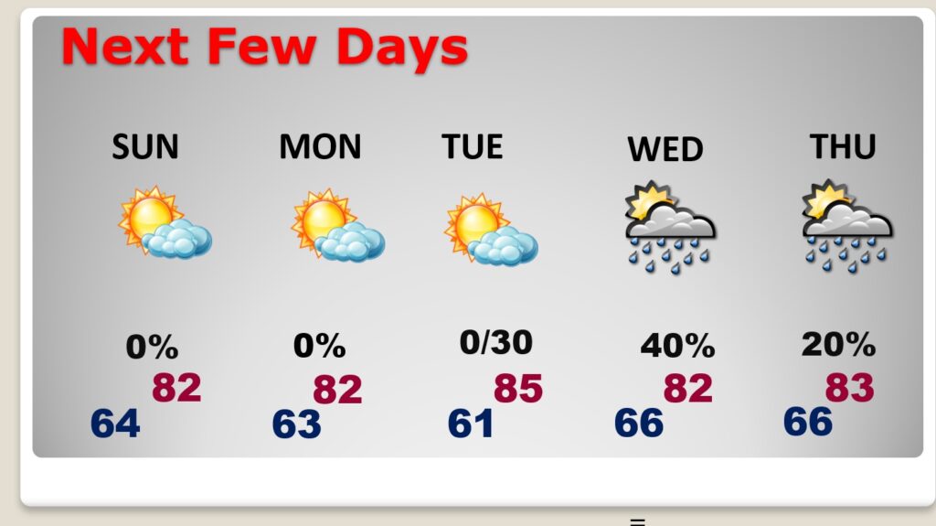
NEXT FEW DAYS: Expect more dry and very warm weather through the weekend and into early next week. Highs will be in the low to mid 80’s through Monday. Nights in the 60’s. And, there’s still no rain drops in our future until perhaps Tuesday Night. Showers could be a little more numerous on Wednesday.
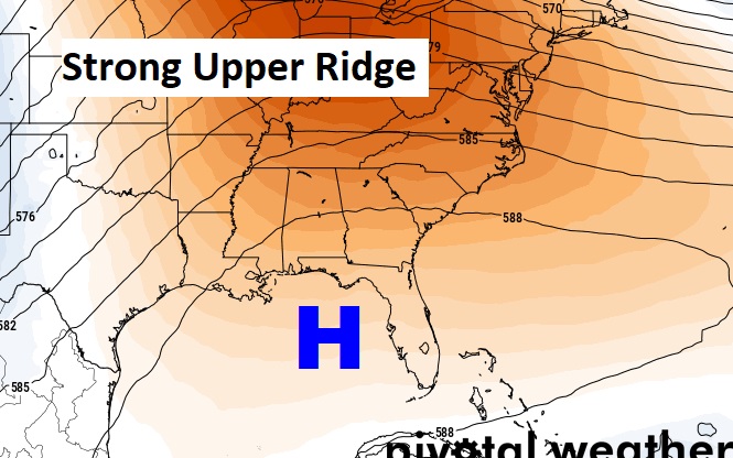
Strong Upper Ridge remains in control.
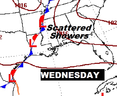
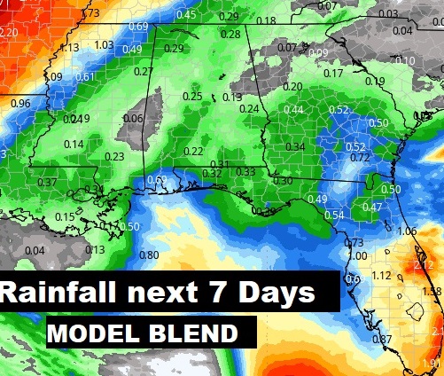
An approaching frontal system will bring a risk of showers and storms for most of us by Tuesday night into Wednesday. Here’s the expected rainfall through Wednesday. This is the model blend. Fingers crossed. Probably not a lot of rain but we’ll take any rain drops we can get.
The 10 Day Model Blend Temperature Trend. There’s no chilly air expected. It’s an above normal forecast until somewhat cooler air filters in late next week.
.
.
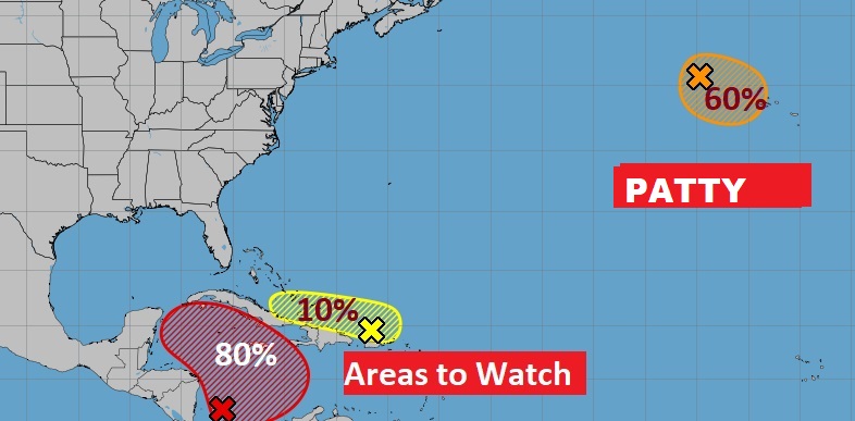
TROPICAL UPDATE: NHC is still tracking that Area to Watch in the West and West Caribbean. There is now a high 80% chance of a Depression forming by early next week. There are also two other Areas of Interest in the Atlantic basin, including newly named Tropical Storm Patty in the far NE Atlantic,
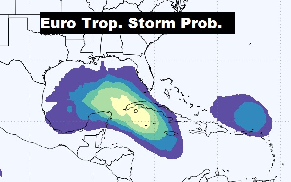
Take a look at the EURO Probability of a Tropical Storm development. Could we see Rafeal in the Gulf next week. Even that area north of Puerto Rico has a chance of development,
FALL BACK TONIGHT: This weekend is one hour longer. This is the Night we switch from CDT to CST. Happens at 2AM officially.
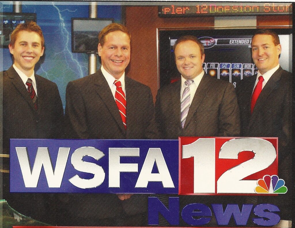
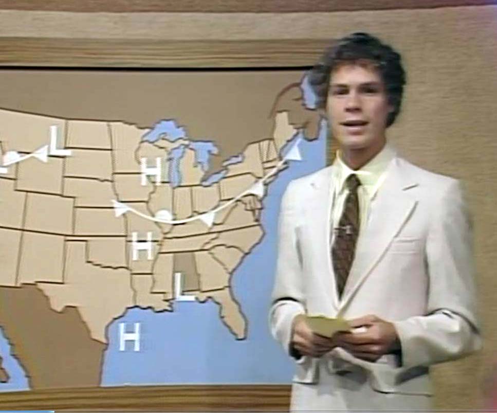
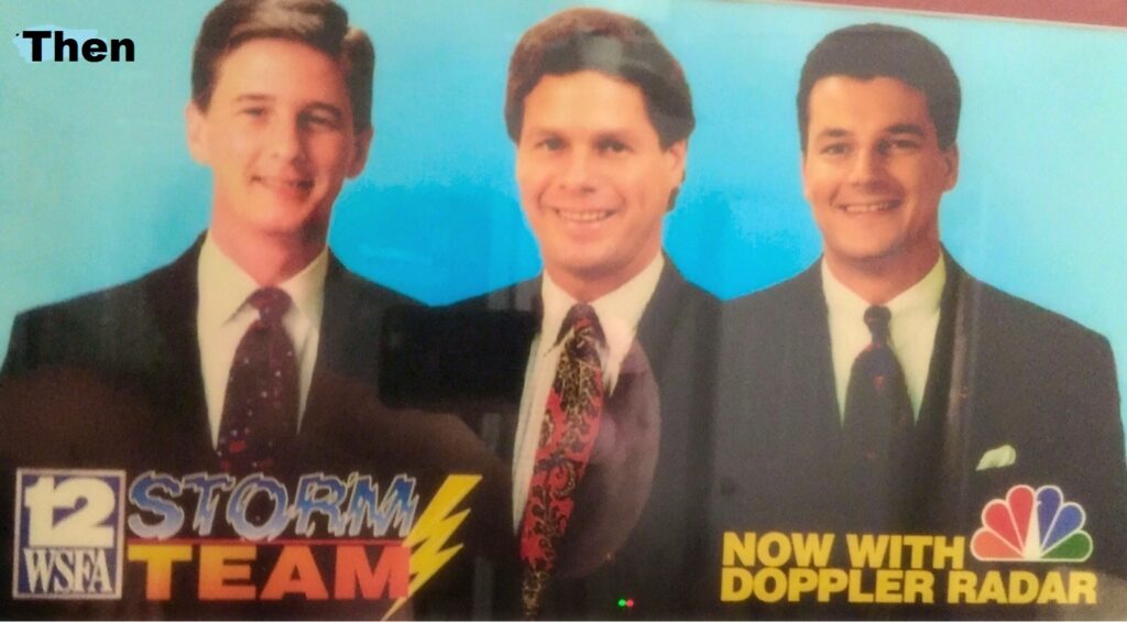
THANK YOU FOR YOUR SUPPORT: This is my 47th Broadcast Anniversary in Montgomery, including my 34 years as Chief Meteorologist at WSFA 12. I am so honored to be able to serve you for so many year! Thank you.

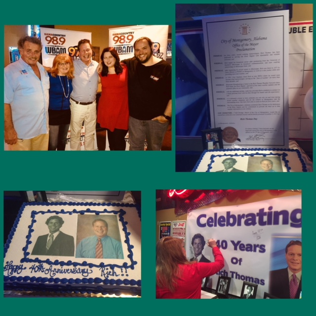
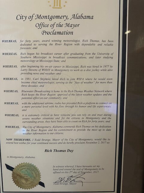
Thanks to Montgomery Mayor Todd Strange. On my 40th anniversary he presented me with this proclamation that every November 2nd is RICH THOMAS DAY in Montgomery.
Thanks for reading the blog. The next scheduled blog will be Monday morning, Have a nice weekend!
–Rich
