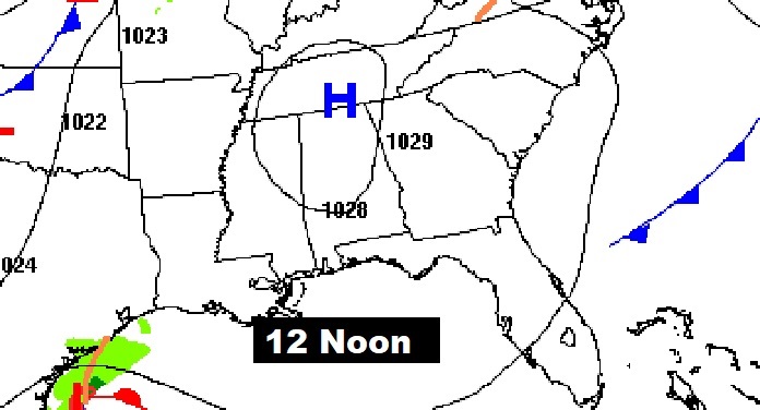
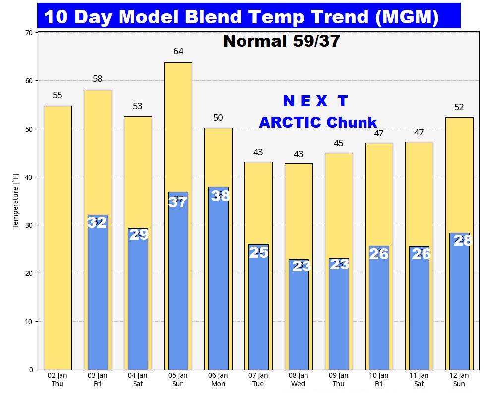
Good morning! Cool Days and Cold Nights continue for now. There are certainly some interesting changes in the week ahead as Old Man Winter targets the Deep South. Freezing temperatures are in the cards for the next 2 nights, before a Sunday recovery. Showers and storms will sweep across the state late Sunday, Sunday night and early Monday before the next Arctic Blast. The coldest days and night s will be January 7 through the 12th. Fortunately, the models are backing off on any potential Winter Weather Frozen issues late next week. Here’s my brief video forecast discussion.
TODAY: Mostly sunny. High 55. Clear and cold tonight. Low 32. (normal 59/37)
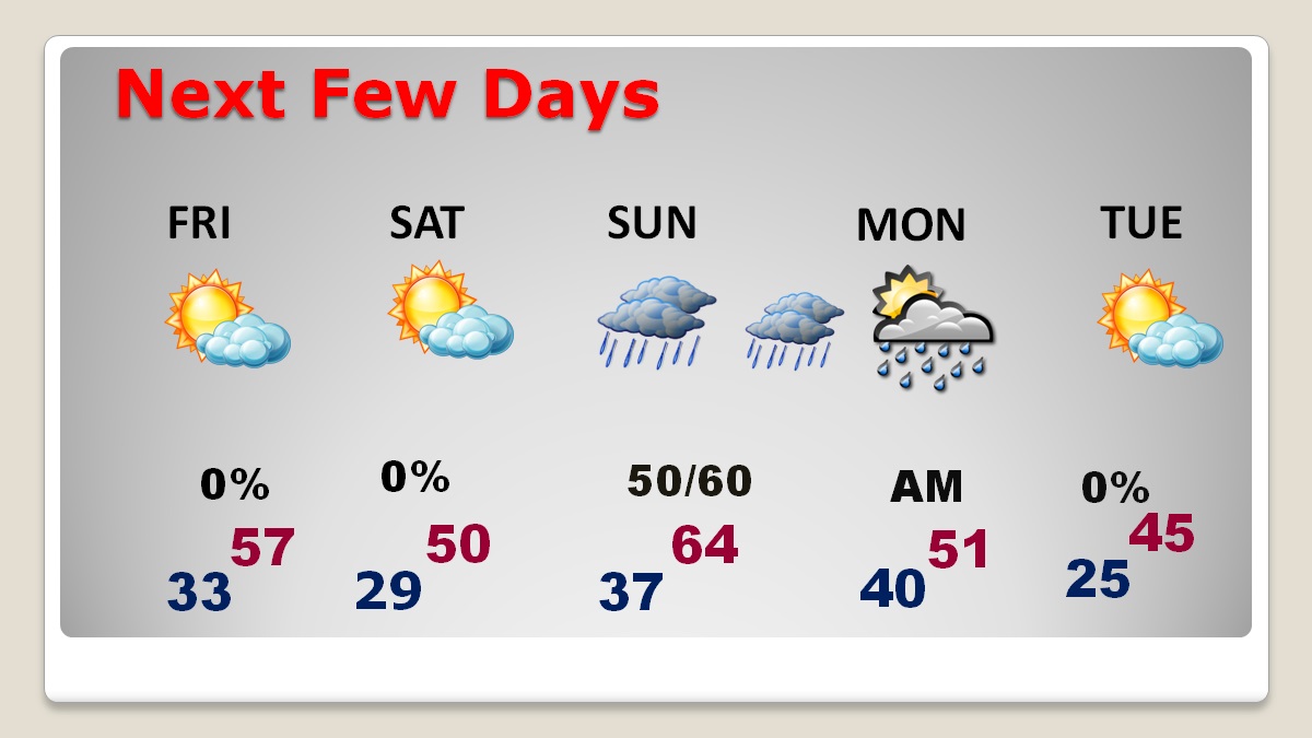
NEXT FEW DAYS: Cool Days and Cold Nights continue for now. owers and storms will sweep across the state late Sunday, Sunday night and early Monday before the next Arctic Blast. Next week will be quite cold, especially from next Tuesday through Sunday the 12th. Fortunately, the risk of any potential Winter Weather frozen problems late next week is fading.
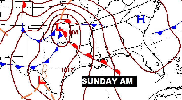
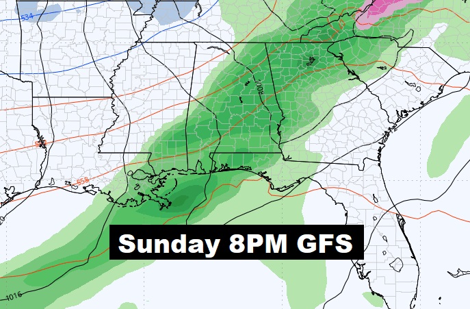
Rian and maybe thunderstorms are back in the forecast for late Sunday through Sunday night into early Monday before the next Arctic blast.
Here’s the 10 day model blend. The coldest days and nights will be from January 7th through the 12th before a brief 2 day recovery

Thanks for reading the blog. There will be another complete Blog update and video forecast discussion tomorrow morning. This morning, everything is normal including LIVE on the Radio from 6 to 9AM on NewsTalk 93.1 – WACV. Have a nice day!
–Rich
