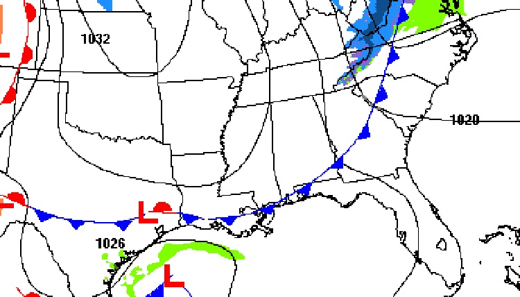
Good morning! A reinforcing Cold Front will sweep across the area today. A brief shot of cooler air will move in tonight and Saturday. But, it will turn briefly milder Sunday as a storm system/cold front approaches. Showers and storms are likely especially Sunday night. The first of 2 Cold Fronts will move through Monday. The second front will deliver a huge shot of Arctic air which will dominate next week, especially Tuesday through Friday. There are still question marks about late next week. Will parts of our state be dealing with Wintery Precipitation? There are still many questions. It’s too early to say. Here’s my brief video forecast discussion.
TODAY: Mostly sunny. Breezy High 56. NW wind increasing 10 to 15, gusts 20 by PM. Clear and cold tonight. Low 29. (Normal 59/37)
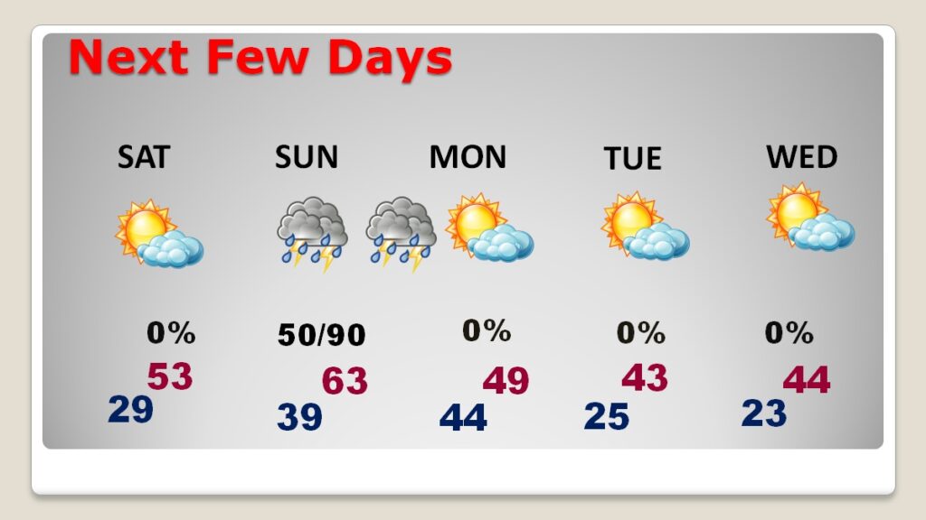
NEXT FEW DAYS: Saturday will be chilly. Sunday will be quite a bit milder as a storm system approaches. Showers and storms are likely especially Sunday night. The first of 2 Cold Fronts will move through Monday. The second front will deliver a huge shot of Arctic air which will dominate next week, especially Tuesday through Friday. Get ready for a rude visit by Old Man Winter.
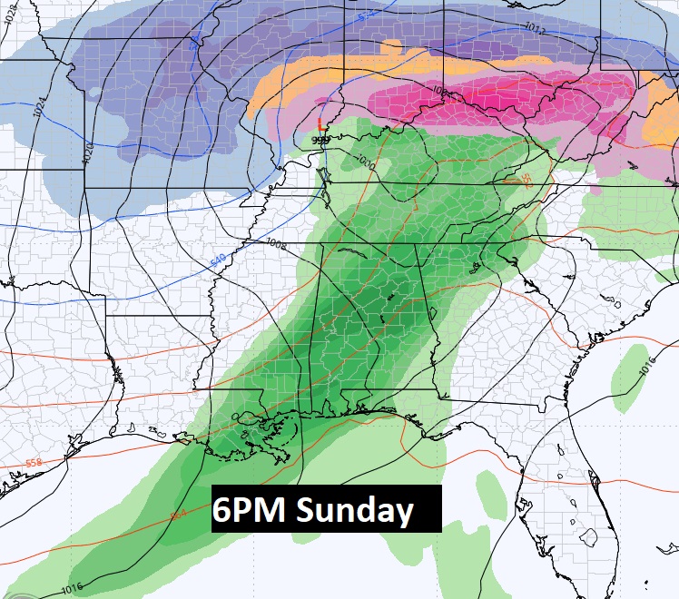
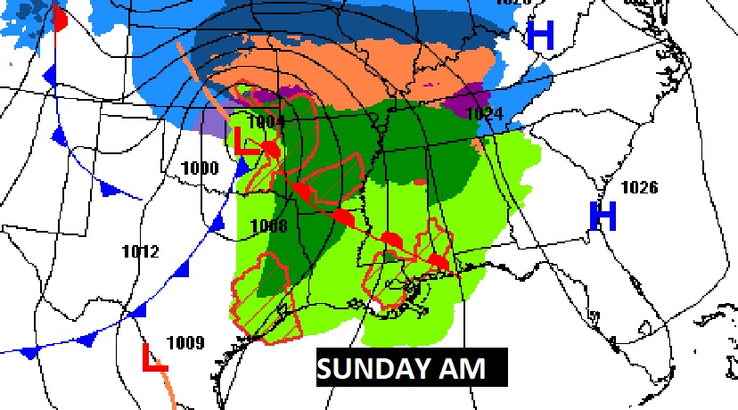
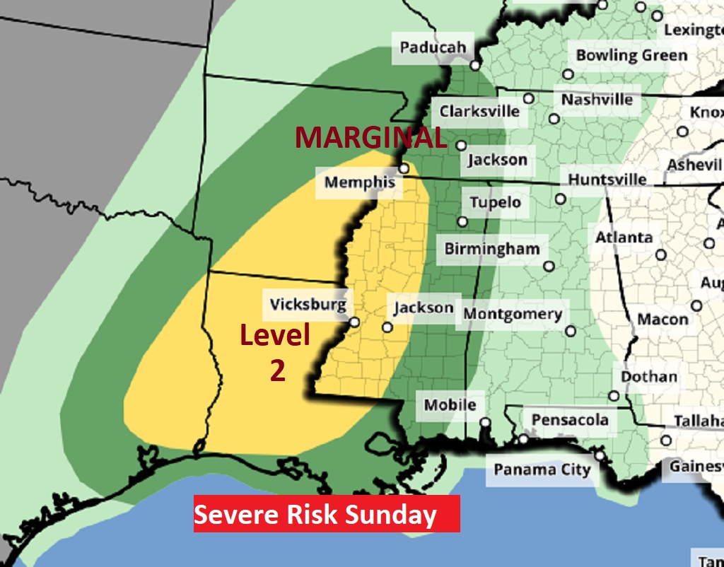
Rian and maybe thunderstorms are back in the forecast for late Sunday through Sunday night into early Monday before the next Arctic blast. There is a risk of strong to severe storms in states west of us Sunday.
Here’s the 10 day Temperature model blend. The coldest days and nights will be from January 7th through the 12th before a brief recovery. Then, colder again.
Thanks for reading the blog. There will be another complete Blog update and video forecast discussion tomorrow morning. This morning, everything is normal including LIVE on the Radio from 6 to 9AM on NewsTalk 93.1 – WACV. Have a nice day!
–Rich
