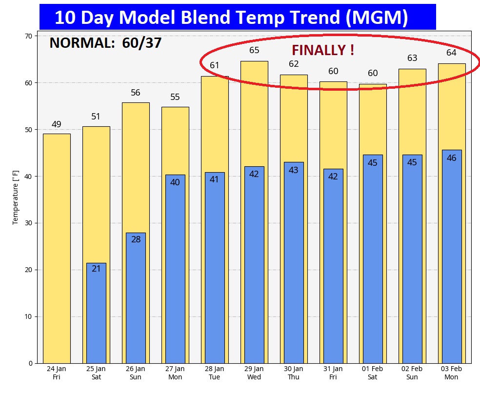
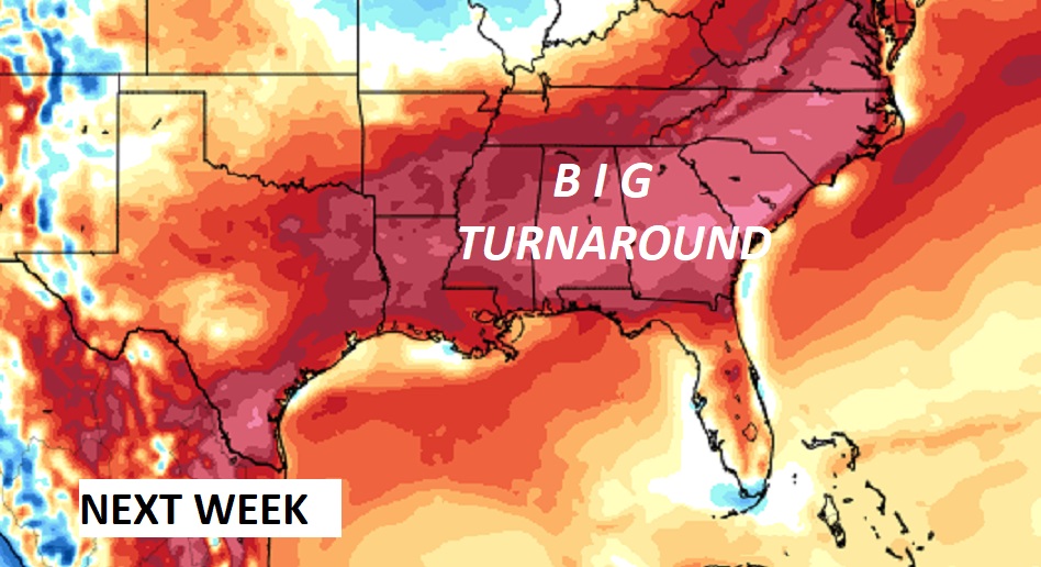
Good morning! We are starting out in the frigid teens again! The persistent Arctic Cold is not over yet. Today’s high will only reach the 40’s. We’re headed back to near 20 tonight. But, hang on. There’s light at the end of the arctic tunnel. Normal hi/lo 60/37. There’s warmer days ahead next week. By next Wednesday we may reach the middle 60’s. It’s been quite a long time since we saw numbers like that! The next chance of showers will be on Sunday and especially Sunday night and Monday as the next front approaches. Here’s my brief video forecast discussion.
TODAY: Mostly sunny. Still Cold. High 47. Northwest wind 6 to 12 mph. Partly cloudy, frigid again tonight. Low near 20.
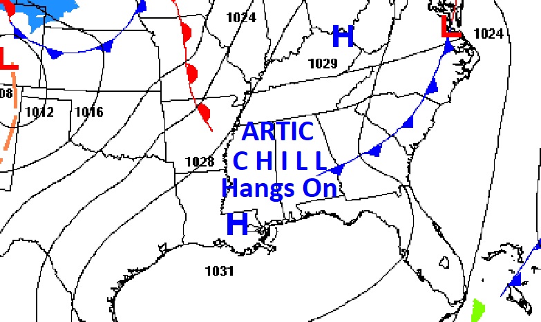
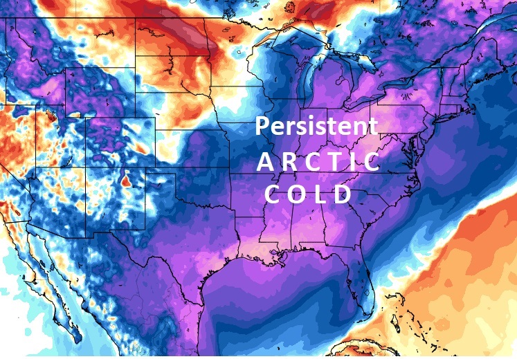
.
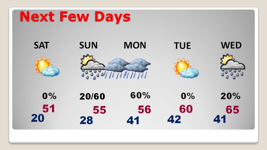
NEXT FEW DAYS: The Chill hangs on . We will be below normal for at least 4 more days. Over the weekend, we’ll at least break 50 degrees. I have us in the mid 50’s by Sunday and Monday. Tuesday’s high will be near 60 and we are into the mid 60’s Wednesday. The next chance of showers will be on Sunday and especially Sunday night and Monday as the next front approaches.
Here’s the 10 Day Model Blend Temperature Trend. Hang on! Next week will be a lot better. We’re headed back to the 60’s…finally!
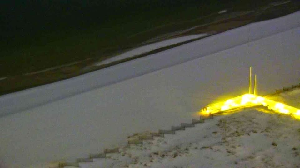
Orange Beach, Alabama last night where there is still half of foot of snow on the ground.
Thanks for reading this blog update. This morning everything is normal. We’ll be LIVE on NewsTalk 93.1. There will be another Blog Update and Forecast Video discussion in the 4’o’clock hour tomorrow morning. Have a good day,
–Rich
