
Good morning! It’s a bitterly cold Friday morning. By Dawn, we’ll be close to Record Low territory, along with some brutal wind chill numbers. Yesterday’s high was only 41. Today will be slightly better with less wind. Upper 40’s. We’re back to the 20’s for at least one more night tonight. But, hang on. This Arctic Chill will gradually start to fade. We’ll be back to the 50’s this weekend, the 60’s on Monday and into the 70’s Tuesday and Wednesday. It’s a dry forecast until perhaps Wednesday night. Here’s my brief video forecast discussion.
.
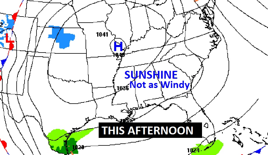
TODAY: Morning low at Dawn in the lower 20’s (Record 21 from 1958) Wind Chill could reach the lower teens. Another very chilly day. High 48. Northwest wind 10 to 15 mph. Clear and cold again tonight. Low near 28 by Dawn Friday. (Normal 66/42)
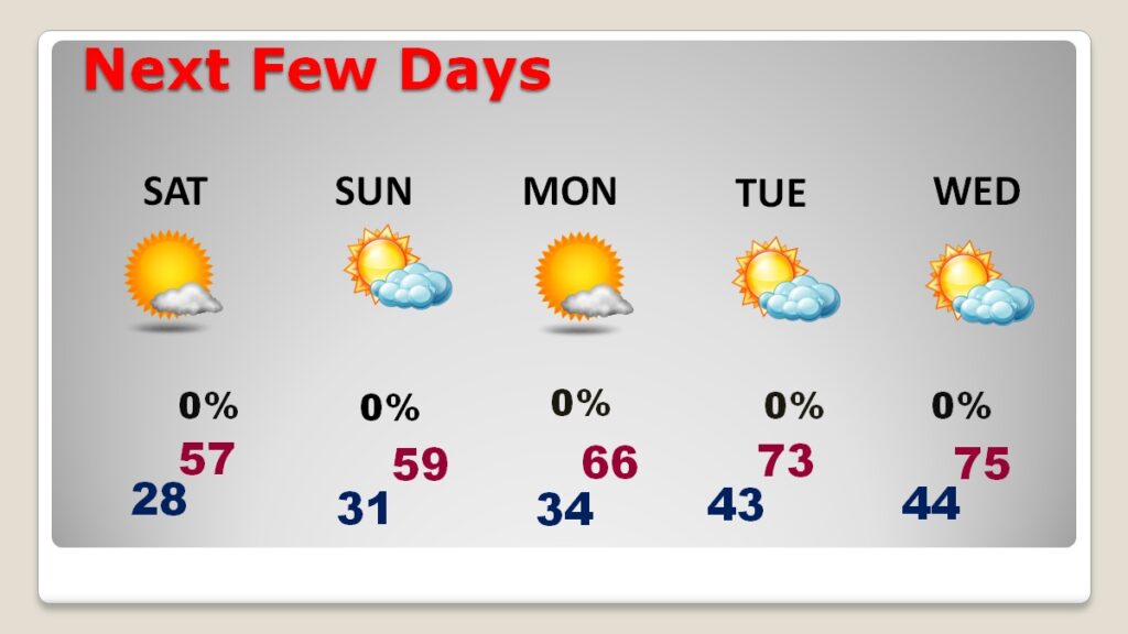
NEXT FEW DAYS: The Arctic Chill wilk start to fade this weekend. We’ll be in the 50’s. Monday’s high of 66 will seem like a heatwave. Expect the 70’s Tuesday and Wednesday.
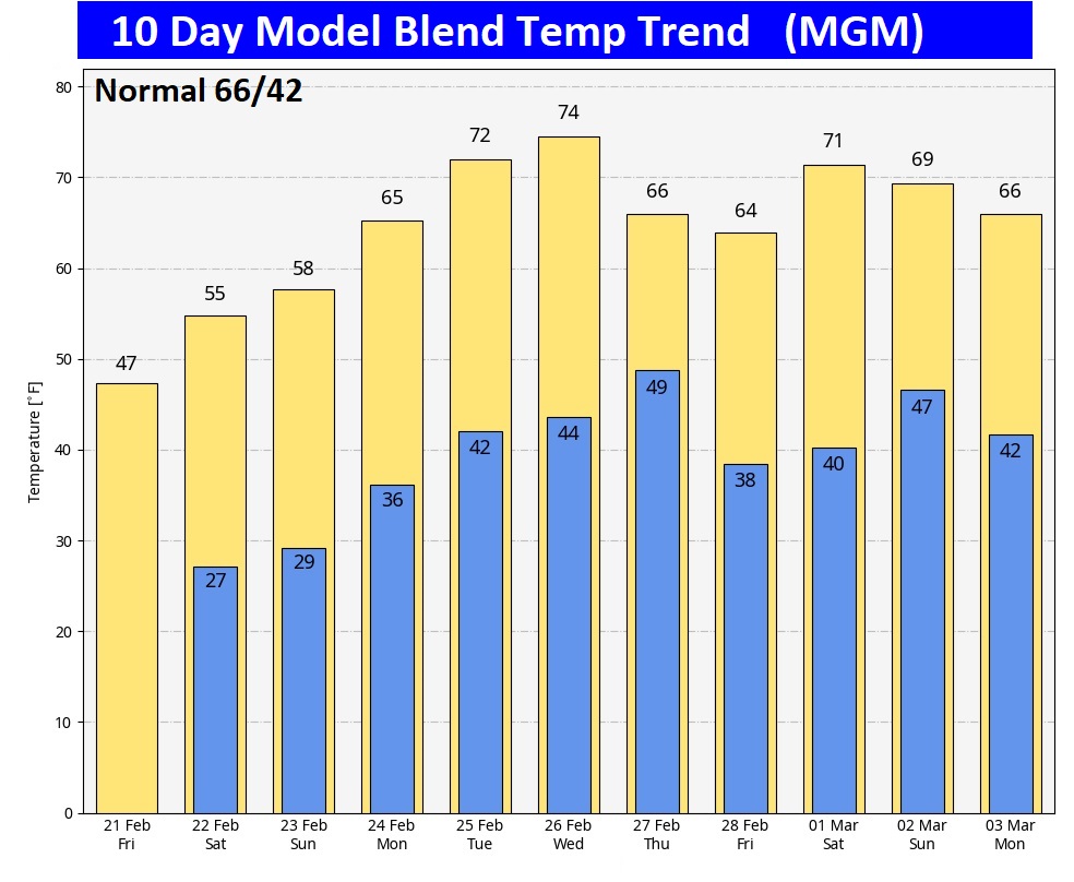
Here’s the 10 day model blend temperature trend. Nice warming trend next week.

Thanks for reading this special blog update. This morning everything is normal. We’ll be LIVE on NewsTalk 93.1. There will be another Blog Update and Forecast Video discussion in the 4’o’clock hour tomorrow morning. Have a good day.
–Rich