
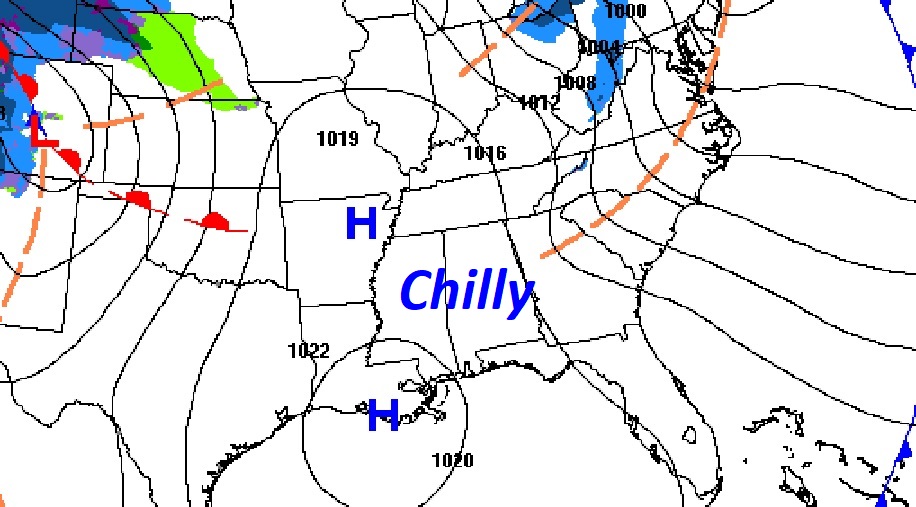
Good Morning! Yesterday was windy and quite cool. Today the wind will not be quite as brisk. But, temperatures are still below normal for so late in the season. We’re back to the 30’s tonight. Expect lower 70’s Friday and middle 70’s Saturday. Risk of showers again by Saturday afternoon. Scattered showers and thunderstorms become likely Saturday night. Much cooler, again, on Sunday, behind the storm system with perhaps some leftover showers. Here’s my brief video forecast discussion
TODAY: Mostly sunny. Unseasonably cool for March. Breezy. Northwest wind 10 to 15 gusting to 20 mph. High only 59. (Normal 69/44) Partly cloudy. Chilly tonight. Low 37.
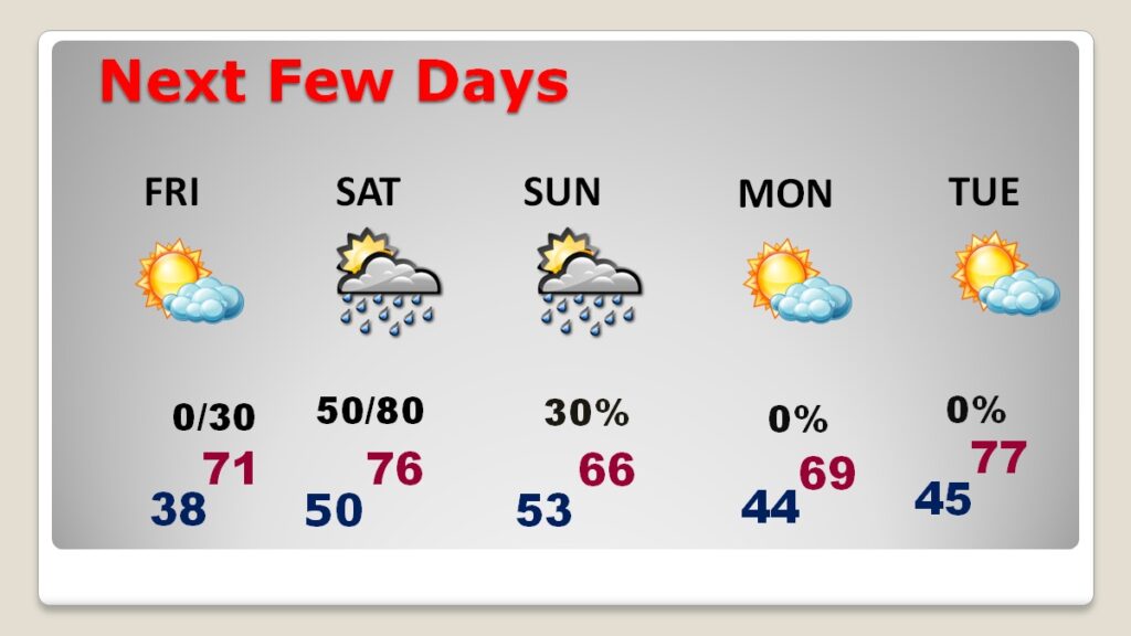
NEXT FEW DAYS: The chill won’t last long. A warming trend is on the way. Expect lower 70’s Friday and middle 70’s Saturday. Risk of showers again by Saturday afternoon. Scattered showers and thunderstorms become likely Saturday night. Much cooler, again, Sunday behind the storm system with perhaps some leftover showers
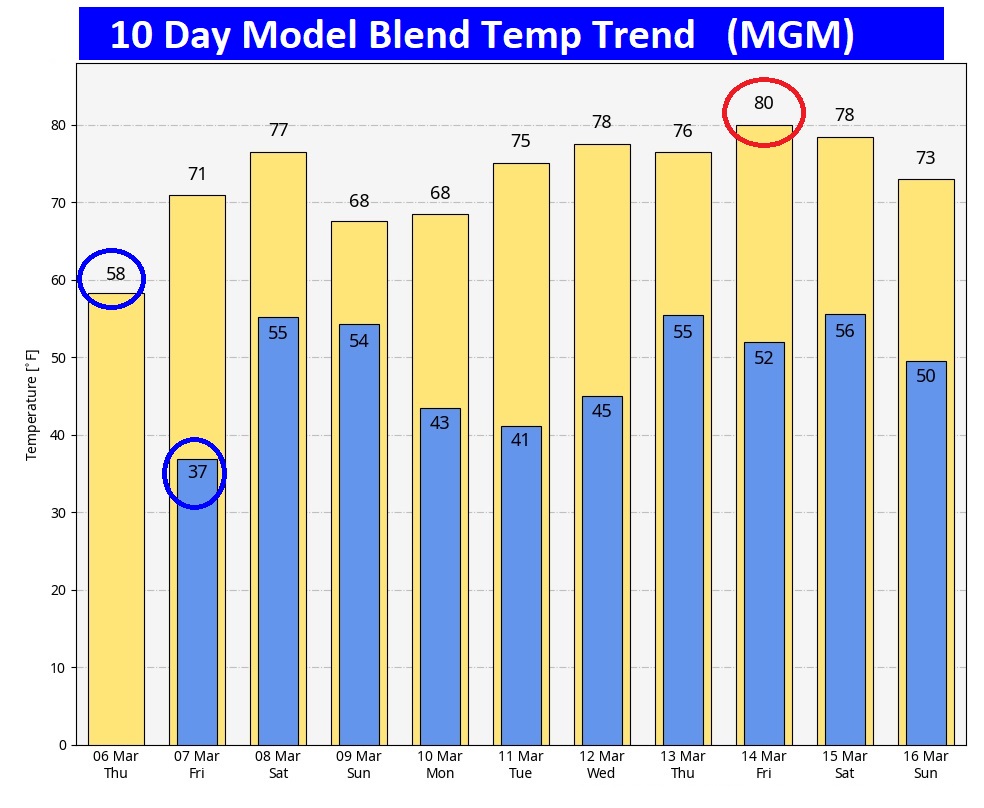
Here’s the 10 day model blend temperature trend. Coolest day and night will be today/tonight. Warmest day late next week.
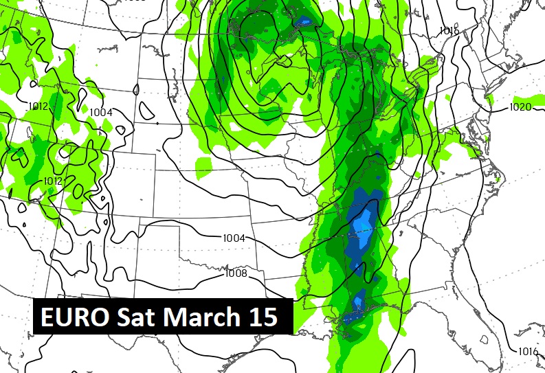
NEXT BIG DEAL?: Next Potential significant storm system will affect the area about 9 days from now. Then another one towards March 21.
SPRING FORWARD: This is the weekend we change the clocks. Ahead one hour late Saturday night. We lose an hour of sleep this weekend.

Thanks for reading this blog update. This morning everything is normal. We’ll be LIVE on NewsTalk 93.1. There will be another Blog Update and Forecast Video discussion in the 4’o’clock hour tomorrow morning. Have a good day.
–Rich