Good morning! It’s the news we’ve been waiting to hear for a long time. The weather news for the next several days is very good. A southward moving cool front will make it all the way to the coast by this afternoon. Less humid air will move in. Expect a string of comfortable days and pleasantly cool nights. Highs will be in the 80’s. Low at night in the low to mid 60’s will feel nice. We have a dry forecast at least through Thursday with sunny days and clear nights. A weak disturbance could spark some widely scattered showers by Friday and Saturday. Here’s my brief forecast discussion.
TODAY: Abundant Sunshine. Not as humid. High 88. Clear and much cooler tonight. Low 64.
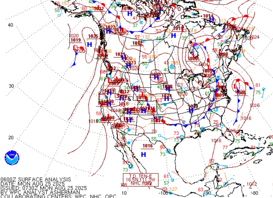
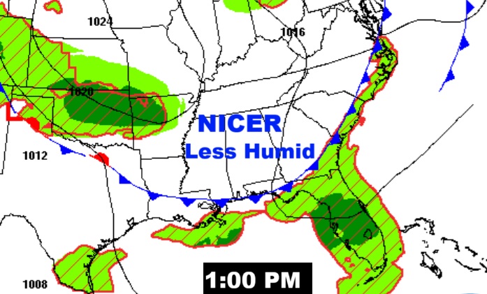
Early this morning the southward moving front was in north central Alabama moving southward.
The front reaches the coast by Mid-Day.
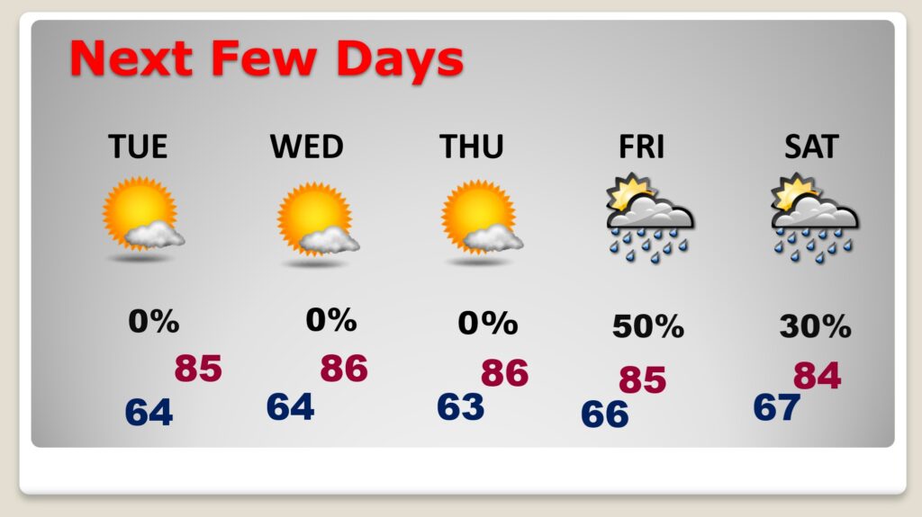
NEXT FEW DAYS: Expect a string of comfortable days and pleasantly cool nights. Highs will be in the 80’s. Low at night in the low to mid 60’s will feel nice. It’s a dry forecast at least through Thursday with sunny days and clear nights. A weak disturbance could spark some widely scattered showers by Friday and Saturday.
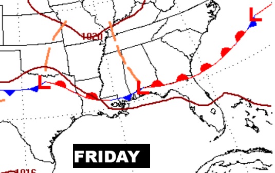
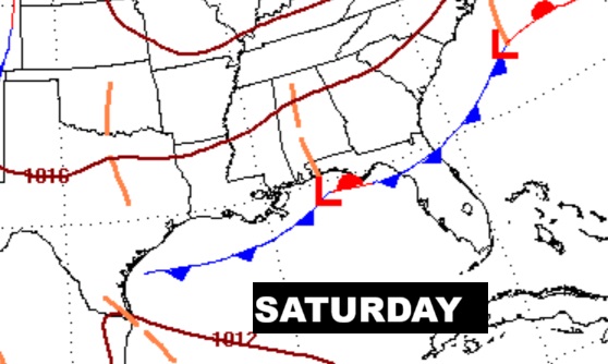
Showers return to the forecast Friday/Saturday as Labor Day weekend begins.
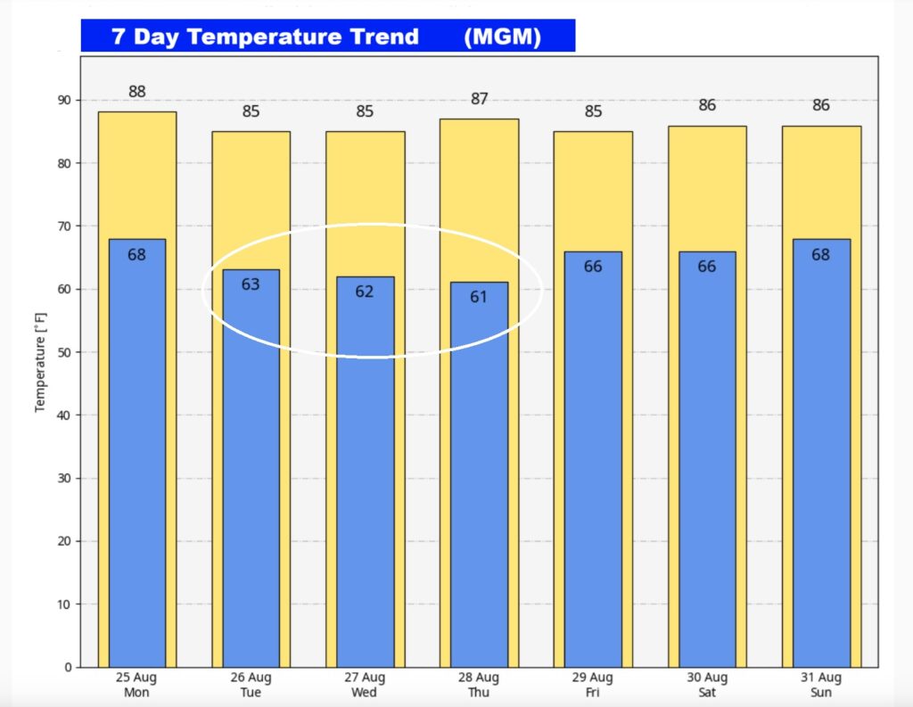
Here’s the 7 Day Temperature Trend. What a nice change. Look at those comfortably cool morning lows!
TROPICAL OUTLOOK:
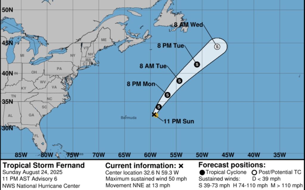
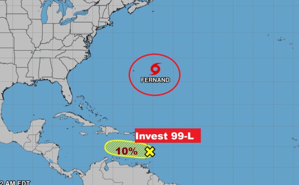
Nothing for us to worry about. FERNAND is a “fish storm” in the middle of the Atlantic.
Invest 99-L now has a low 10% chance of development
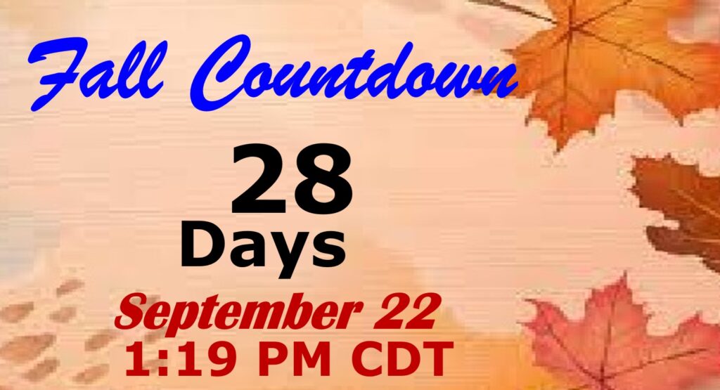
FALL COUUNTDOWN: The Autumnal Equinox is now just 28 days away.
Thanks for reading the blog. Today everything is normal including LIVE on the Radio of NewsTalk 93.1 WACV. There will be another video forecast discussion and Blog Update in the 4 o’clock hours tomorrow morning. You can always find my forecast updates hourly on the 8 station Bluewater family of stations every day of the year.
–Rich
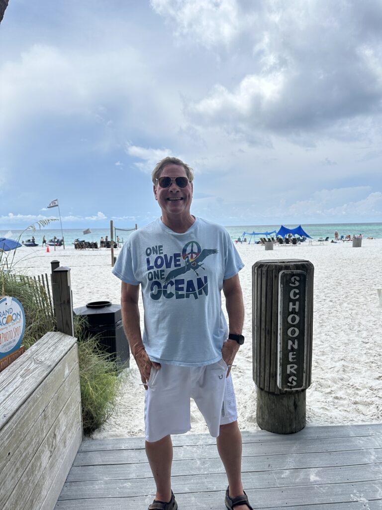
Schooners in PCB Saturday….


Hunt’s Oyster House.