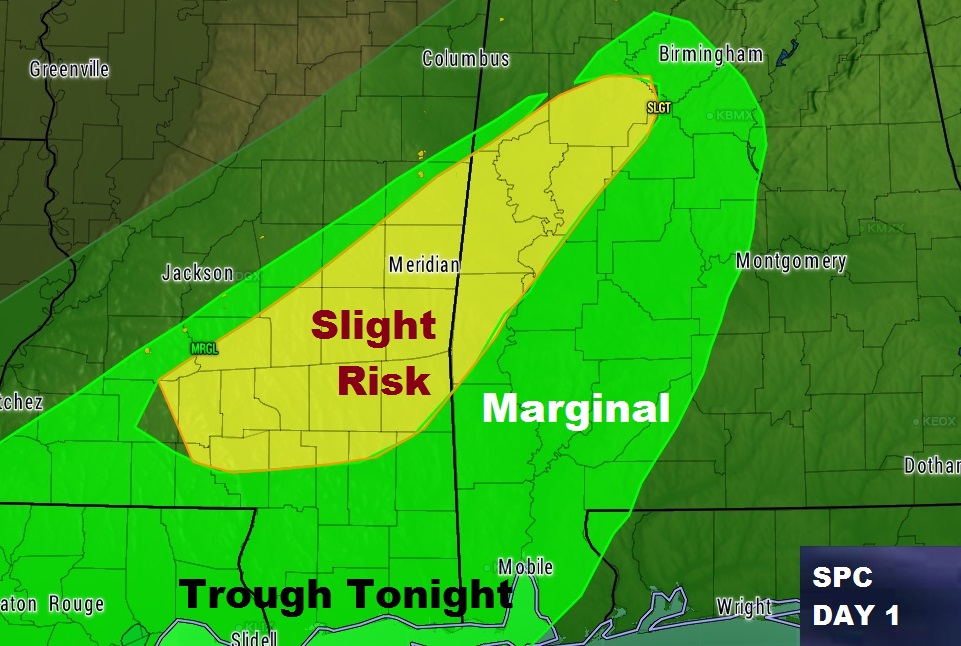
A line of thunderstorms will continue to track across the state for the rest of the afternoon & evening, and into south and southeast Alabama tonight. The best dynamics for severe weather is over the western half of the state. Updated outlook from the Storm Prediction Center shows a sliver of Severe Risk over extreme west Alabama. A Marginal Risk continues for areas mainly west of I-65. The main threat is damaging wind gusts. A few warnings have been issued for a couple of western counties as I write this.

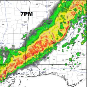
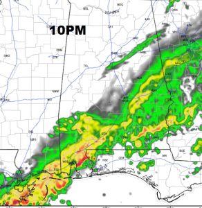
FUTURE RADAR: The line of storms will continue eastward and southeastward reaching near the I-65/I-85 corridor and into the Montgomery Metro area sometime between 6 and 8PM. The air is a little more stable in this area, as the intensity of the thunderstorms will probably start to decrease. Still, though, a few storms could produce some gusty winds, a lot of lightning, and heavy rain. Future radar shows the line near the Montgomery area around 7. That’s just a model idea. Then, at 10PM, the weakening line will reach the Wiregrass in Southeast Alabama.


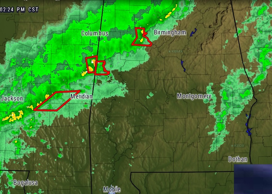
RADAR SNAPSHOT: At around 2:30, as I issue this, here’s a radar snapshot, showing a 2 or 3 warnings in the far western counties.

