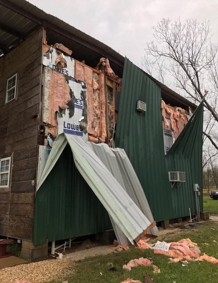
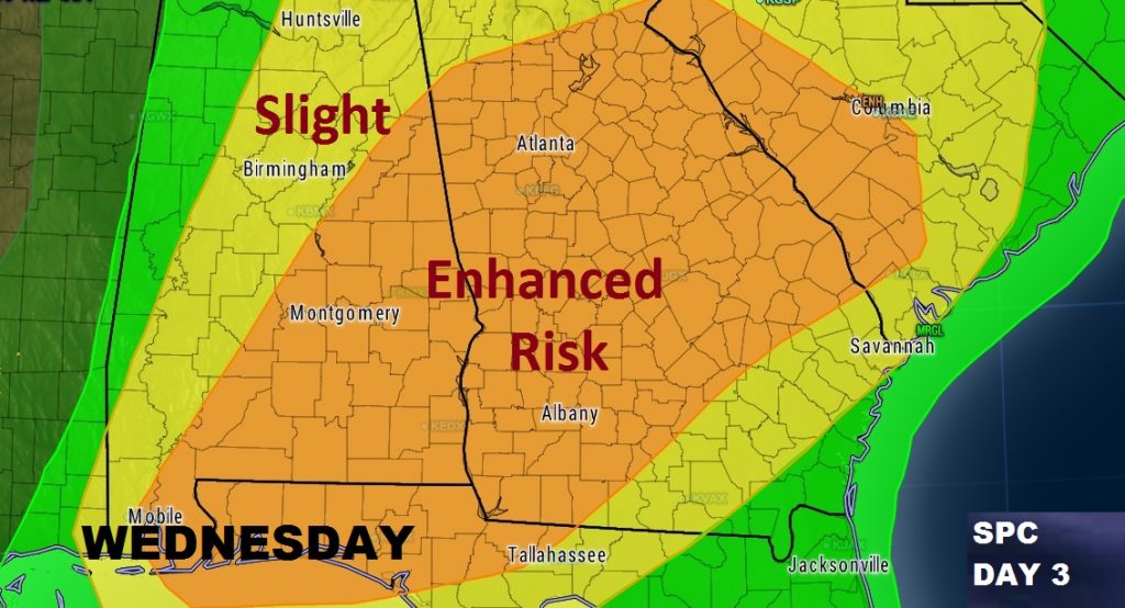
Today’s severe threat is over here in Alabama. Another round of possible severe weather is in the cards for Wednesday. Damaging thunderstorm winds, large hail and tornadoes will be possible. Strongest threat Wednesday afternoon/evening.
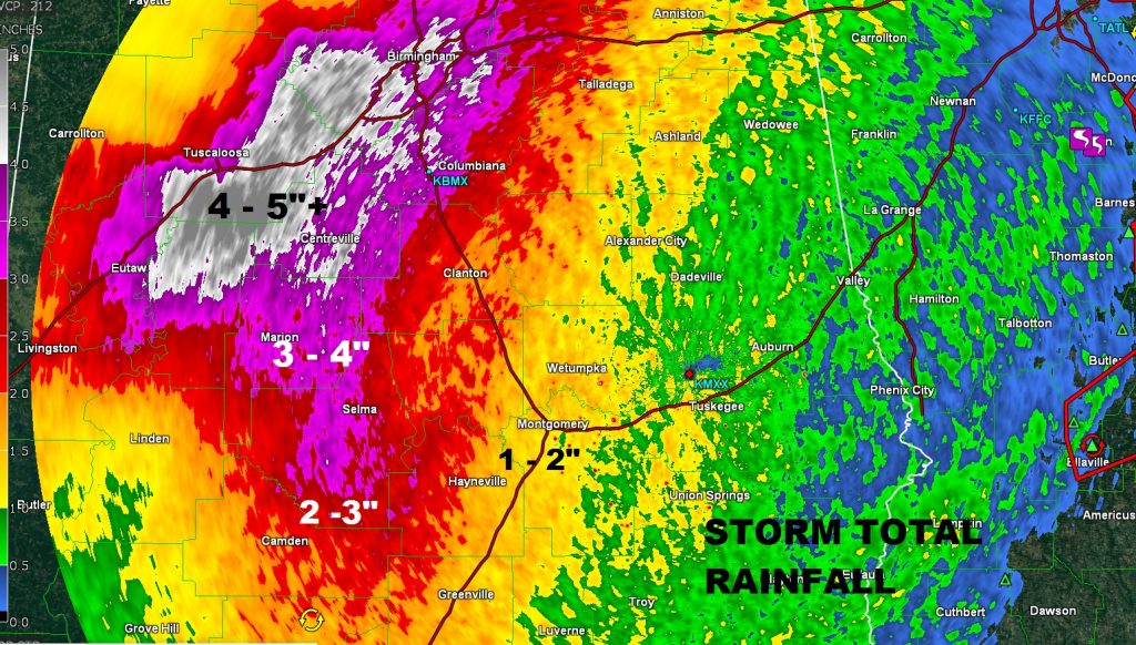
Many areas in Central and South Alabama averaged 1 to 2″ of rain, based on Doppler Radar estimates. Heaviest totals between Selma to Tuscaloosa where 3-4″ and in some cases 4-5″+ fell.
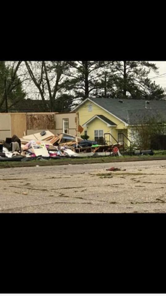
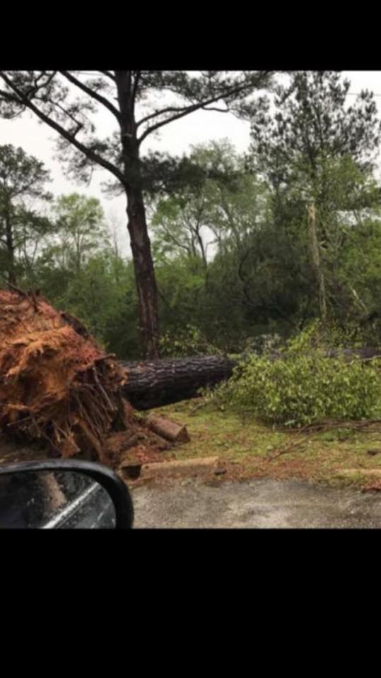
A few damage pictures via Twitter images from around the area….
Damage in Luverne this morning. Tornado Warning was in effect at the time. NWS survey crew will investigate.

Structural damage in Eufaula. Severe Thunderstorm Warning was in effect.
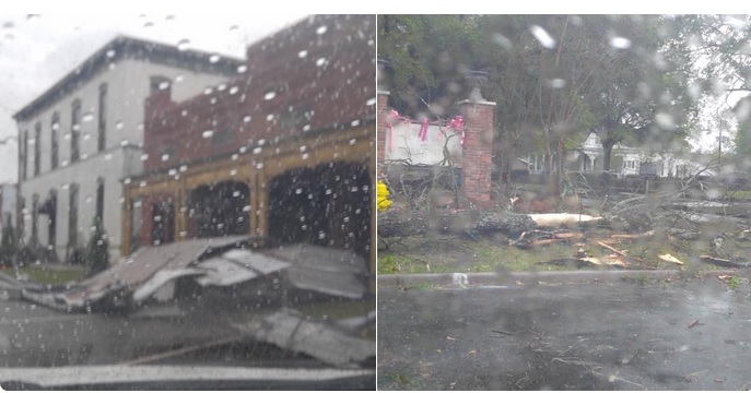
Damage in the Midway community in Bullock county. Severe Thunderstorm warning was in effect.
