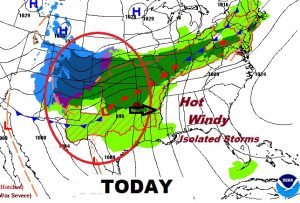
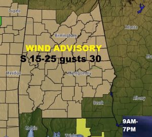
It will feel like summer on this last day of April. Like Friday, our high will be near 90°, and that’s not all. Early this morning the dewpoint has been near 70. That’s a summertime level. That means it will be humid. But, there will be a breeze. In fact, a wind advisory is in effect. By later today & this afternoon, south winds 15 to 25 mph, gusting as high as 30. Like a summer day, isolated pop up thundershowers can’t be ruled out. They will be random, about 20% coverage. Most will stay dry, and the showers will fade away after sunset. Low tonight near 70.
SUNDAY: If you have plans for Sunday & Sunday evening, look for a partly sunny, breezy day, with a high in the upper 80’s. Can’t rule out a stray afternoon or evening t-storm, but all the “big ticket” weather holds off until late Sunday night.
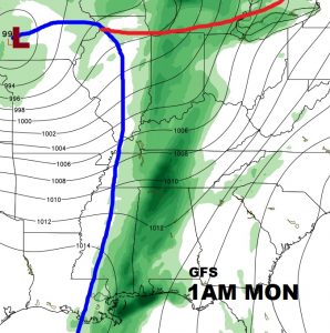
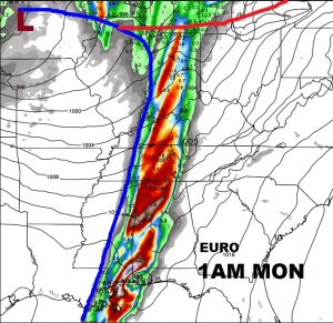
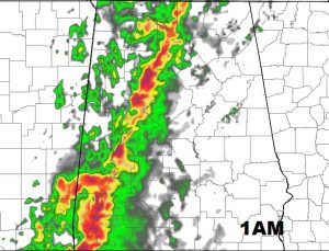
SEVERE THREAT SUNDAY NIGHT: Another strong frontal system will approach the state late Sunday night. A line of strong thunderstorms will move through in the overnight hours. Some of the storms could be severe. Although damaging wind gusts will be the main threat, brief tornadoes can’t be ruled out. The global models have now come together on the timing issue. Here’s late Sunday night on the GFS and Euro model. (1AM Monday)
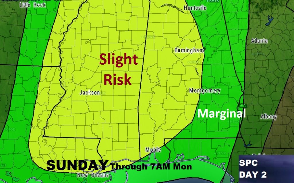
The Storm Prediction Center has a Slight Severe Risk covering the western half of the state, generally west of I-65. The rest of the area is under a Marginal Severe Risk through 7AM Monday morning. Again, damaging wind gusts are the central threat, but like our last storm system, brief tornadoes can’t be ruled out. We had 4 weak tornadoes touchdown in east and SE Alabama Thursday morning. Make sure you have our weather app downloaded, and please allow push notifications for watches & warnings. Make sure you weather radio is in the alert position so that it can wake you and alert you, too.
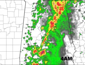
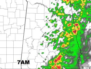
Here’s a few future radar snapshots of the overnight hours Sunday night into Monday morning. Don’t take these literally. It’s just one model’s best “guess”.
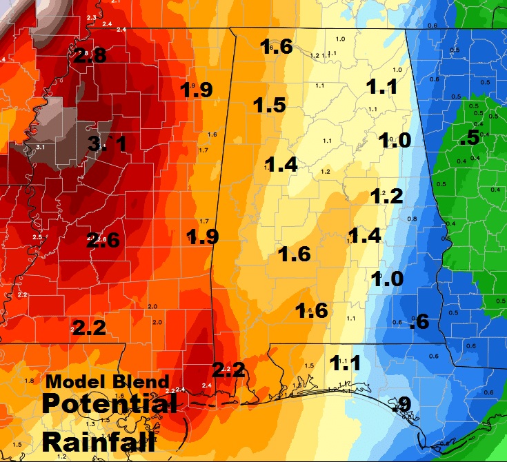
HOW MUCH RAIN?: With moderate drought now covering much of east and SE Alabama, the raindrops from this next system will be greatly appreciated. Take a look at the map below. Many of us could see more than an inch. This is a blend of several models.
There will be more drama and craziness later next week, but for now, we’ll just focus on this first storm system. I will prepare a Special Sunday Video for you tomorrow morning, updating the severe weather threat.
——
Have a great day. Bailey and I will be out at Bark in the Park later for the Prattville / Autauga county Humane Society at Cooter’s Pond Park. We hope to see you there! Come by and say hi to Bailey and me. Dress for a very warm day.
Rich
