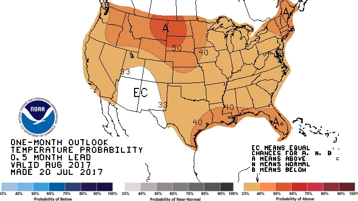
Good Morning! Storms will increase, as the high temperatures back off a few degrees. I’ll walk you through an active week ahead. Looks like the best rain chances will be early in the week and again toward the weekend. Will a front make it all the way through the state this weekend? Also: a peek into the month of August. Will the extreme heat persist? Hope you have a couple of minutes to watch your Monday morning personal weather briefing.
Active weather pattern at the surface and aloft will lead to numerous showers and storms next 2-3 days.
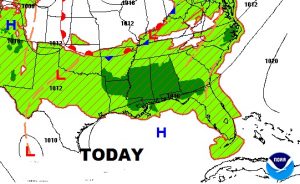
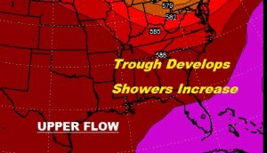
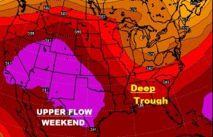
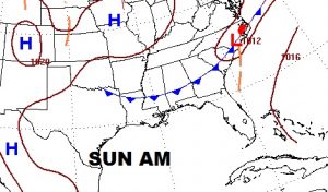
Active weather pattern by the weekend, as a deep trough in the upper atmosphere allows a rare summer front to slip southward through the state, causing an increase in showers/storms from Friday night into Sunday, as the front moves toward south Alabama
CPC August temperature outlook shows above normal heat for much of the nation. Oh boy!
