Good Morning! Same story, different day. Numerous showers & storms will dot the radar screen as the stalled front moves north. So what about the rest of the week and the weekend? Any relief? I’ll walk you through the day by day details. We could have a hurricane in the Gulf before this day is over. I’ll bring you up to date on Franklin and Invest 99-L. Here’s your Wednesday morning personal weather briefing.
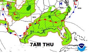
The front parked over central Alabama, will start moving northward as a warm front. The front will act as a focus for numerous showers & storms.
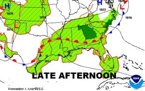
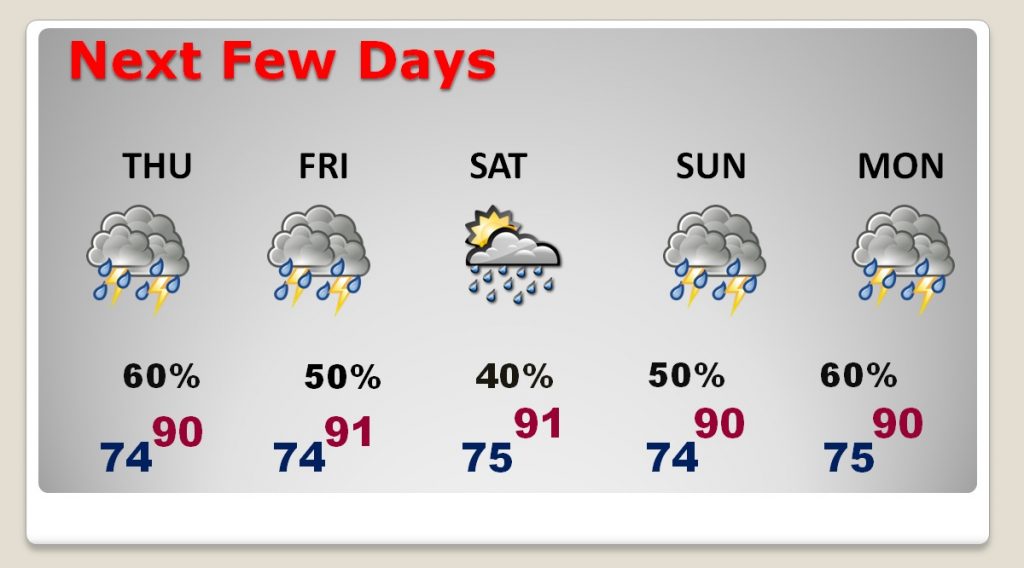
Storms may start to thin out a little but by Friday & Saturday. Otherwise, deep tropical moisture continues with showers and storms every day. No end in sight.
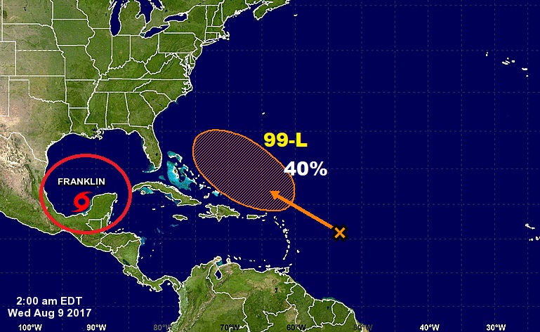
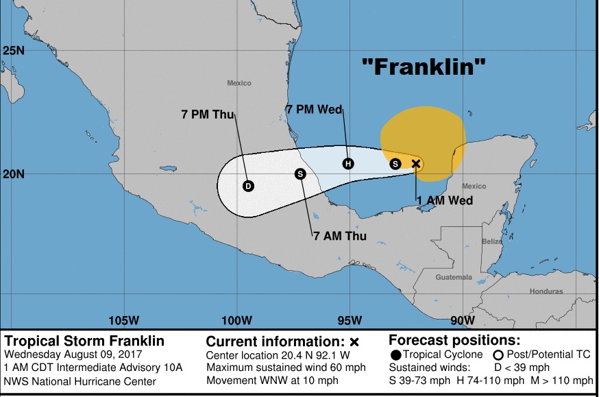
Franklin is back over warm waters, in the southwest Gulf, gaining strength. Could be a hurricane this afternoon before reaching Mexico late tonight or Thursday morning.
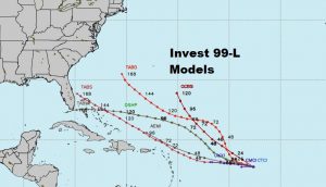
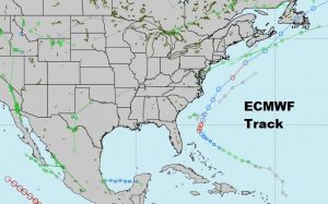
The other system that needs to be watched is Invest 99-L which has a medium chance of development when it reaches the Bahamas.
