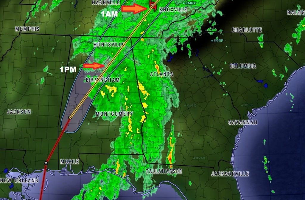
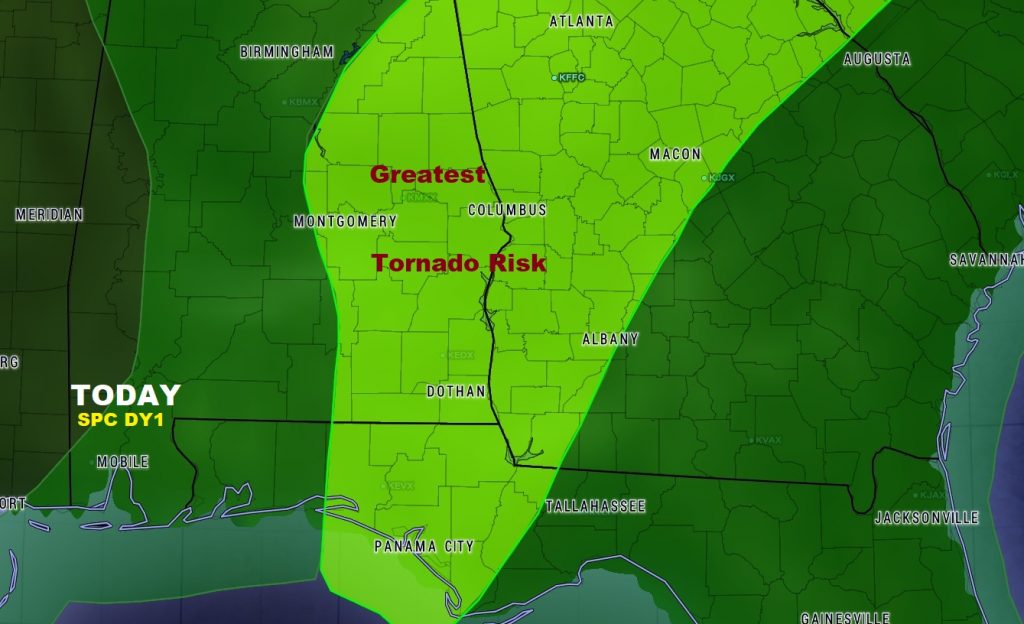
NATE is now classified as a Tropical Depression with winds of 35 mph, located 40 miles southwest of Birmingham, moving rapidly northeast at 30 mph. Winds are decreasing rapidly across the area, after a wild morning of tropical downpours and winds gusting to 30-45 mph at times, downing several trees and causing numerous power outages. We should see gradual improvement through the rest of the day and into the evening with decreasing winds. But the threat of showers and storms will continue, and the spin up tornado threat is not over yet.

Future radar shows Nate’s continued deterioration during the afternoon and evening, as the tropical plume of moisture lingers, well into the overnight hours.
The tornado watch expired at 10, and has not been renewed. Still, though, it’s too early to say that the spin up tornado risk is over. The better chances of a brief tornado are over east Alabama and into Georgia.

