Good Morning! A frontal system will bring a threat of a few strong storms to the state today. On this video I have the latest outlook from the Storm Prediction Center and Future radar. Radical weather changes are on the way, especially as we go through Christmas weekend, Christmas Day and beyond. Get ready for a change of wardrobe soon. I’ll update the colder numbers for Christmas. Please take a couple of minutes to watch a very important Wednesday morning weather briefing. Worth your time…I promise.
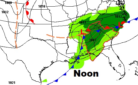
Future radar shows the line of storms progressing eastward through the morning and into the early afternoon, along a frontal system.
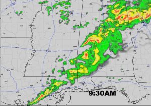
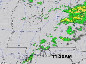
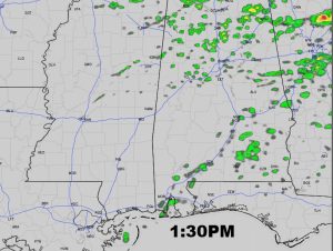
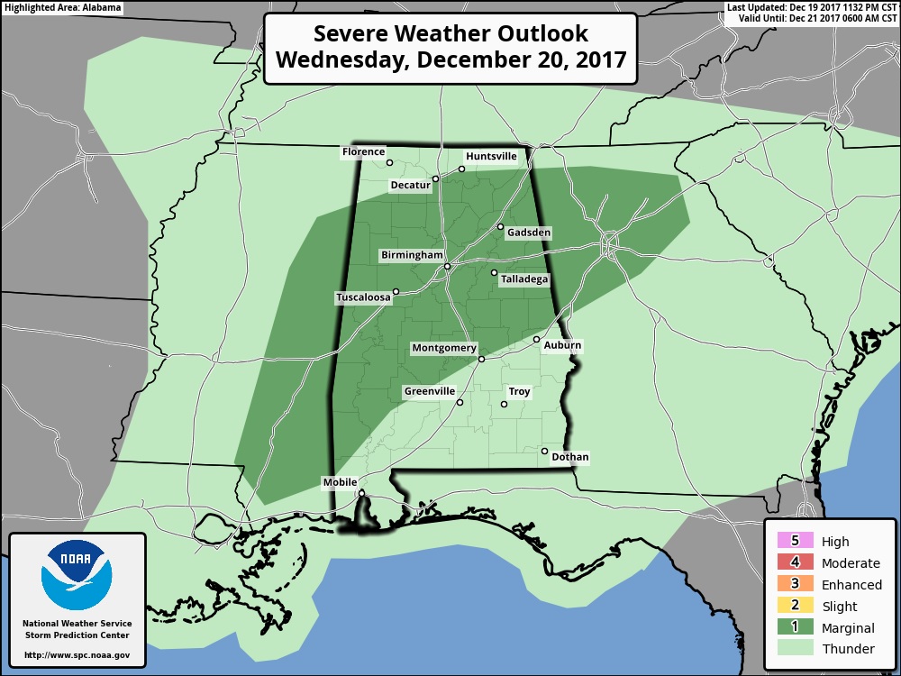
Marginal Severe Risk covers much of the state, especially northern and western Alabama, mostly north and west of an Auburn/Montgomery/Camden line. Damaging thunderstorm winds are possible, and possibly a brief tornado or two. The main threat is morning and mid-day.
BIG changes ahead over the Christmas Weekend…
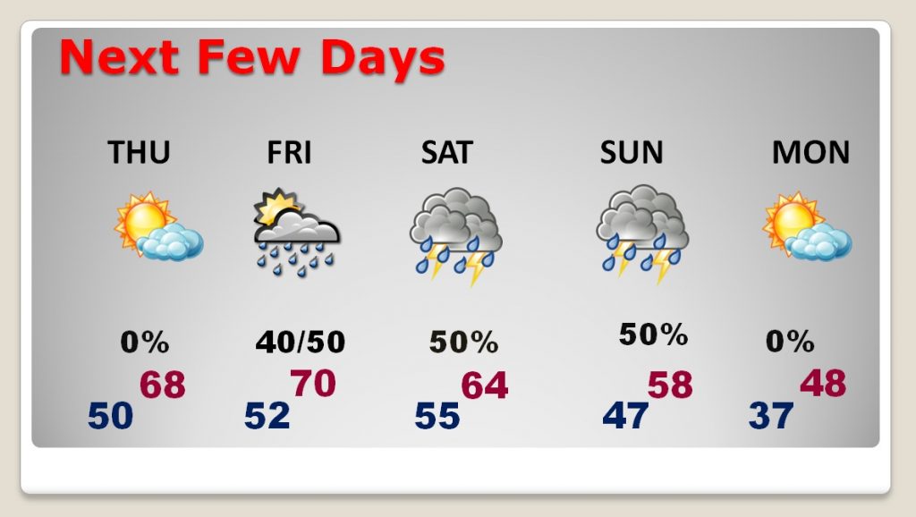
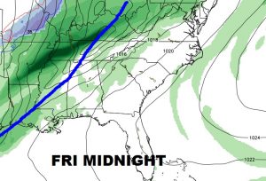
Another strong cold front approaches Friday night. Then, the front slows down over Christmas weekend. Showers and thunderstorms will affect holiday weekend travel. The first stage or arctic air arrives Sunday with another shot of even colder air arriving by Christmas AM.
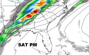
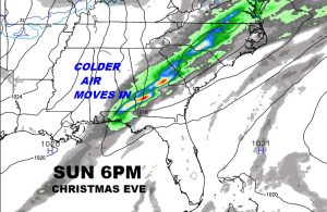
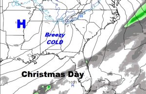
Arctic air will be in place for Christmas Day. No snow, but some very cold temperatures and winds will make it seem colder.
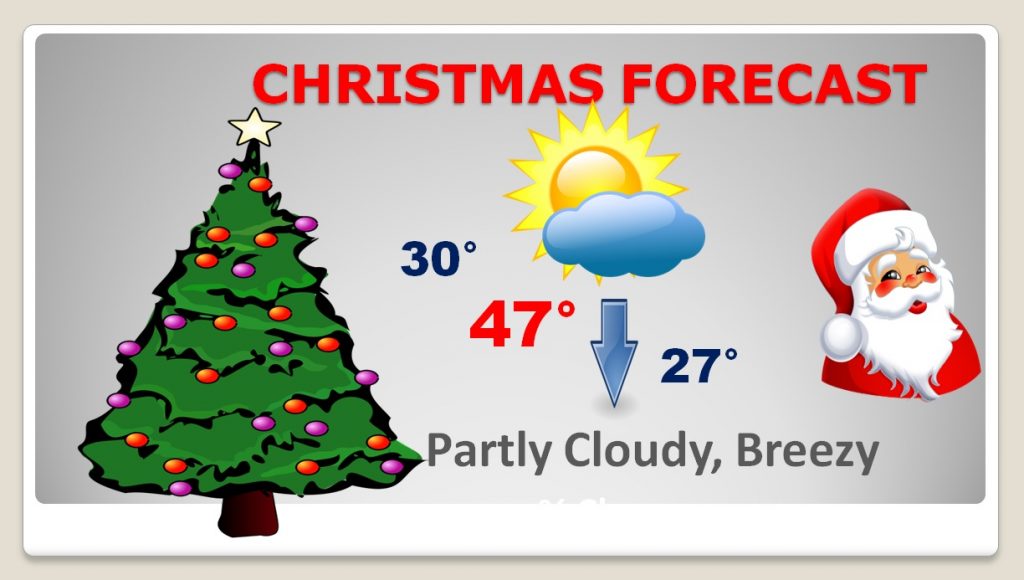
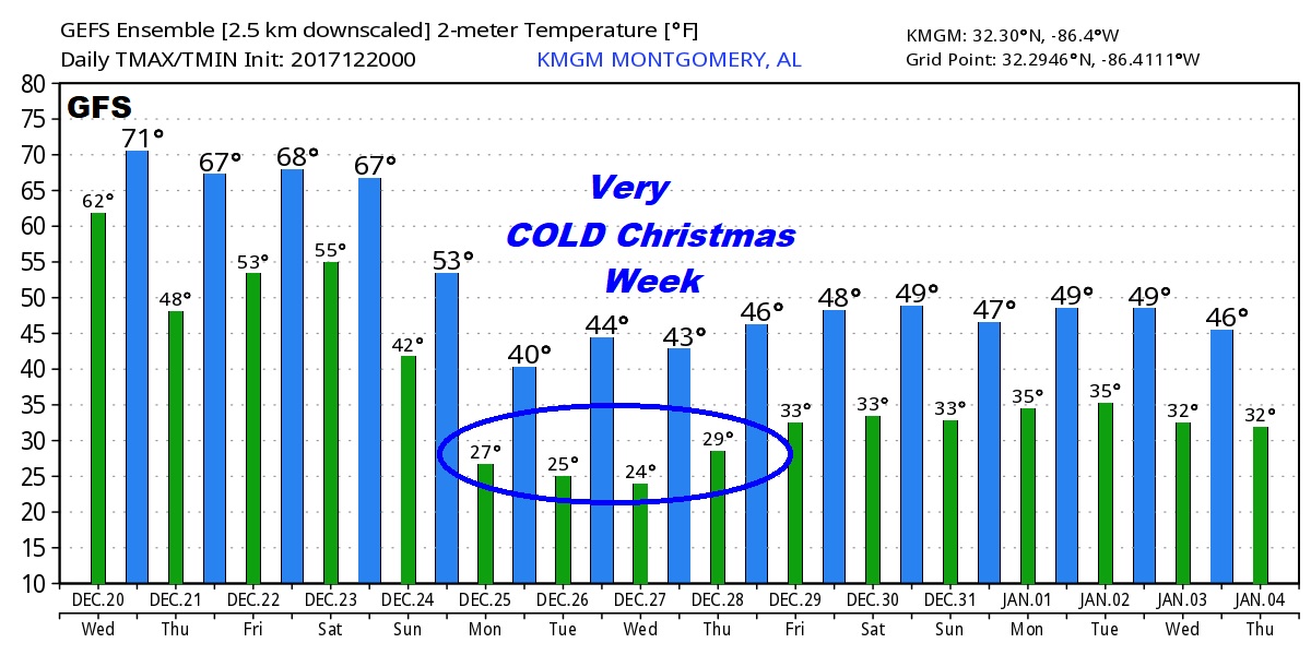
The Global models are advertising a very cold Christmas week with highs in the 40’s and lows in the 20’s. Here;s a peak at the US GFS model for the next 16 days through January 4th.
