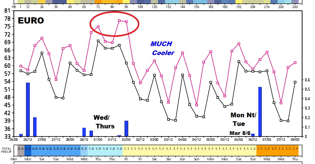
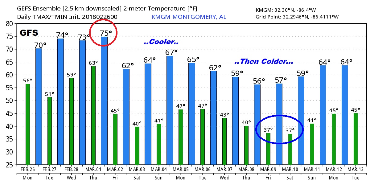
Good Morning! Heavy rain during the night will continue through the morning commute, before departing by lunch. Much to talk about on this video. A mid-week storm system looks fairly potent. We’ll talk about the potential for severe weather. Then, as March begins, I’ll show you a trend to cooler, than colder temperatures. Could be a very active first 2 weeks in the month for storms. But, I think you will like the forecast for the first weekend in March. A lot of good information this morning on your Monday morning personal weather briefing.
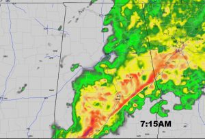
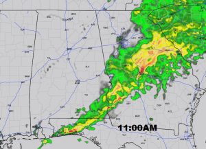
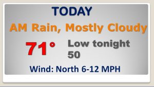
Looks like drenching rains through the morning commute, but rain should exit the area well before Lunch.
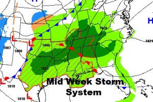
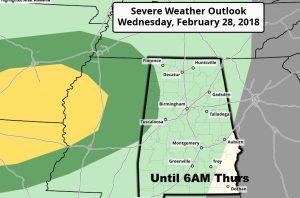
A mid week storm system has by attention. SPC says some storms Wednesday night could be a severe Wednesday night through 6am Thursday AM into extreme NW Alabama. I’m pretty sure future severe outlooks for Thursday will include a good chunk of our state. Monitoring.
After the mid week storm system, looks like a nice first weekend of March.
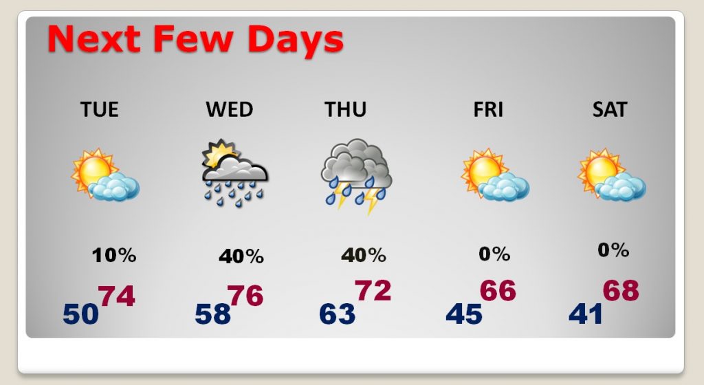
Looks like an active first 10 to 16 days ahead with multiple storm systems, and a trend to cooler then colder temps.
