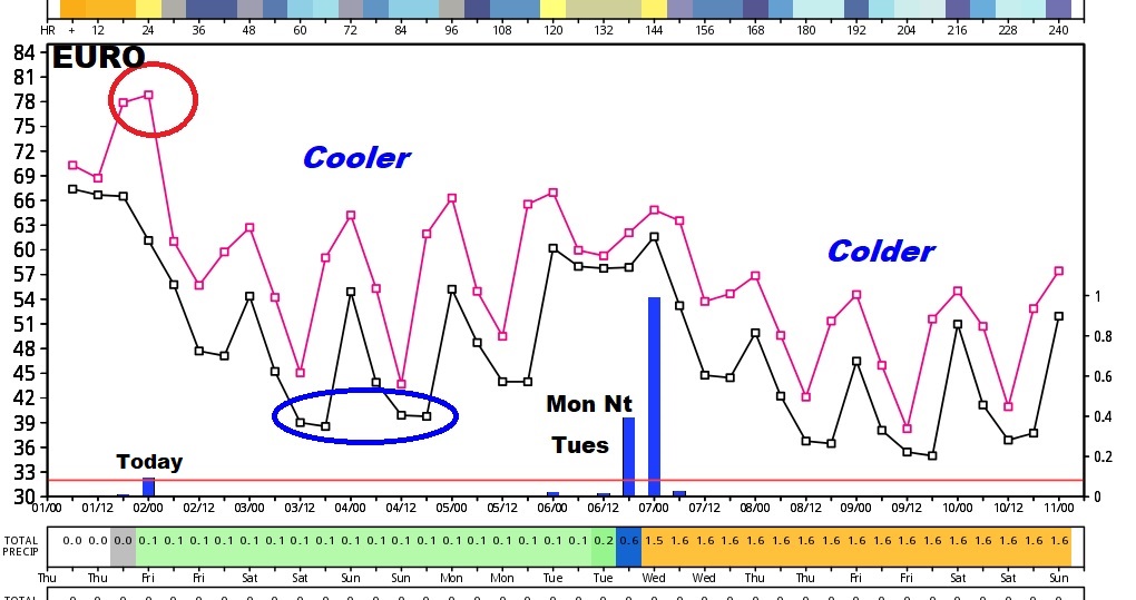
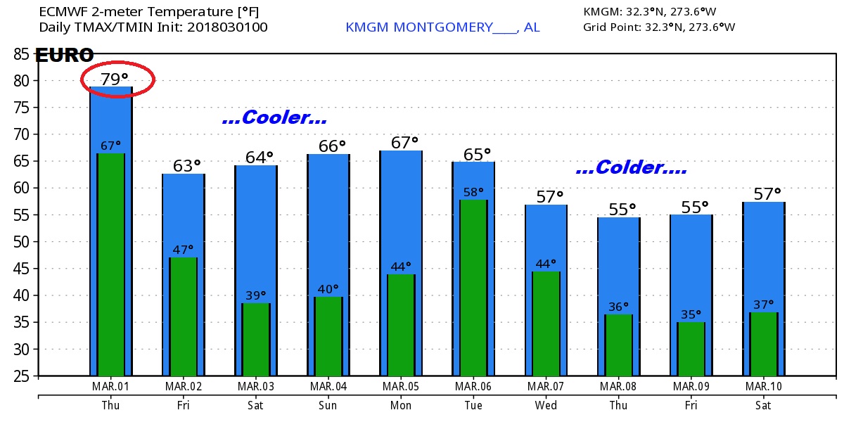
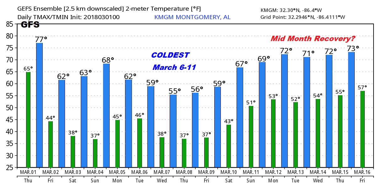
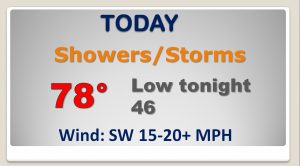
Good Morning..on the 1st day of “Meteorological Spring”. Active weather day ahead, as a Cold front moves across the state with showers & storms along the front. I’ll show you future radar to give you an idea when the line of storms will affect your town. What happens after the front? I have an update on a cooler first weekend of March, featuring some chilly nights. And, next week yet another cold front brings even colder air. We’ll take a peek into mid March. On a windy & warm first day of March, I have a lot of good information to share with you on your Thursday morning personal weather briefing.
Cold front will bring in a line of showers/storms to the state today. Future radar shows the general movement of the area of showers through the afternoon and into the evening.
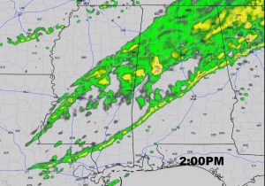
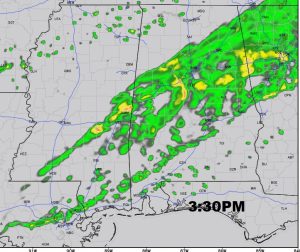
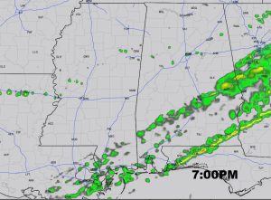
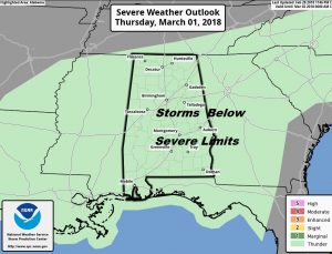
Even though a few of the storms could be strong, as of early this morning, the Storm Prediction Center is not expecting the storms to reach severe limits.
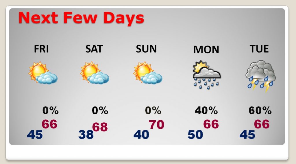
After the cold front, the stage is set for cooler days and chilly nights for the first weekend of March. Another cold front brings another round of showers/storms Monday night into Tuesday.
Looking farther out, the global models shows the patter on cooler air, and then colder air next 10+ days.
