
Concern continues to grow, as Alabama is poised for Severe Storm Outbreak. All modes of severe weather are possible, including tornadoes. Parts of the state could see strong tornadoes. On this video I’ll give you an idea of WHAT, to expect and WHEN. We will look at the updated threat levels, and more. Please take the time to watch this important update. Stay weather aware This afternoon and tonight, especially. Make sure you have our weather app downloaded for your phone or tablet. Allow push notifications for severe weather alerts. Feel free to share this post.
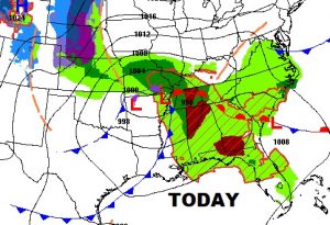
Perfect severe weather set-up. All modes of severe weather possible statewide, including large hail, damaging winds and tornadoes. The tornado threat is highest in the northern half of the state and particular, the northern 1/3.
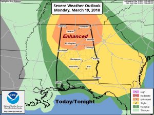
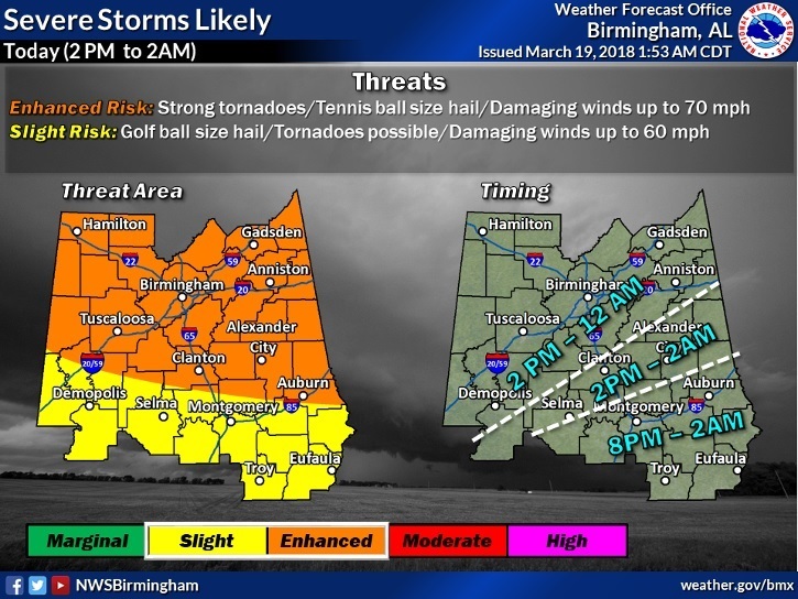
Much of north and central Alabama in the ENHANCED risk have a threat of “strong tornadoes”, hail tennis size to even baseball size and 70+ mph winds. Farther south 60+ mph wind gusts possible, golf ball size hail and Tornadoes Possible. Possibly coming in TWO waves, maybe early afternoon and then again evening. The threat ends in the SE counties by about 2AM.
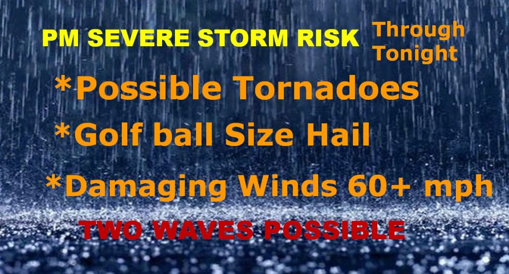
For many of us, especially from the I-85 corridor southward, here are the main risks.
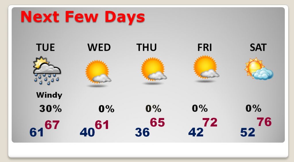
Much cooler air follows. Look at Wednexsday morning’s low of 40 and the Thursday low in the mid 30’s
· · ·