..Severe Weather Threat Tonight. I’ll update you on that approaching storm system that will drench the area late tonight and much of Saturday. I have the latest on which parts of the state will have the best chance for strong to severe storms. And, future radar will give you an idea of when and where the most concentrated rain will move through. Plus, are you ready for the 30’s again on Sunday morning? Another late season cold snap is in the cards! I hope you have a chance to watch this very important Friday morning weather video.
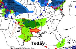
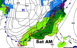
Most of the day today should be warm and mostly dry. Showers and thunderstorms move in late tonight and Saturday ahead of another strong cold front.
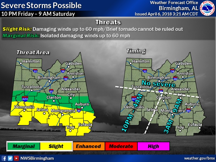
Yellow area on this map includes most of the southern half of the state. Overnight severe weather threat including the risk of damaging winds and tornadoes are possible.,
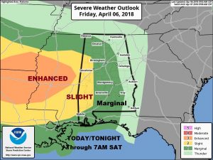
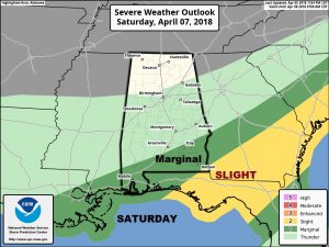
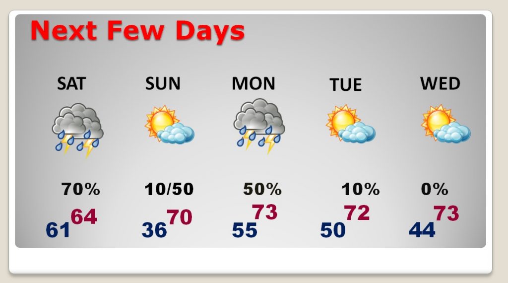
Best rain chance Saturday, and then again late Sunday night into Monday. MUCH Colder Saturday night. Warmer by mid week.
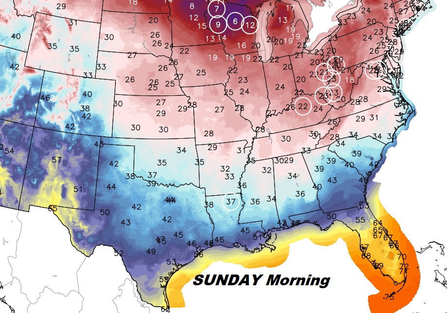
WOW. Here we go again. Mid 30’s Sunday morning.
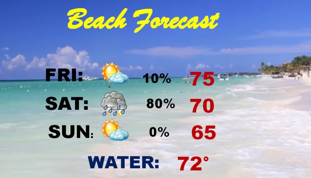
Saturday is pretty much a wash out at the beach. Sunday is breezy and chilly.
