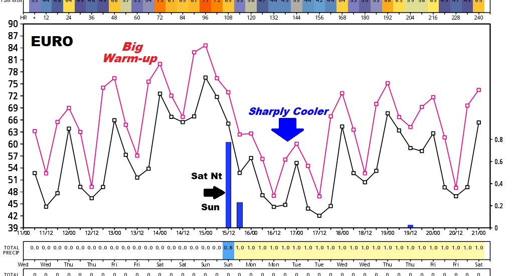
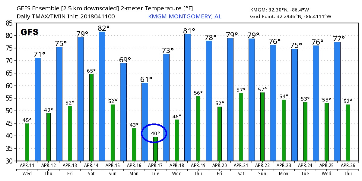
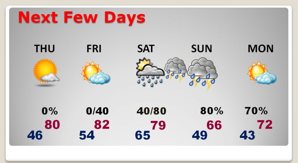
Good Morning! We have a series of nice days ahead, including a big late week warm-up. But, on this video I’ll update you on the weekend storm system, and the complexities of how this storm system could play out, including the timing, strength and how much rain could fall. Looks like another big temperature drop after the storm system. There’s a lot of good information for you this morning on your Wednesday morning personal weather briefing.
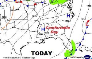
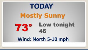
Cool start this morning, but just a text book perfect nice day today.
Big warm-up Thursday and Friday, before that weekend storm system, then sharply cooler, again.
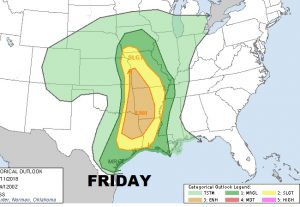
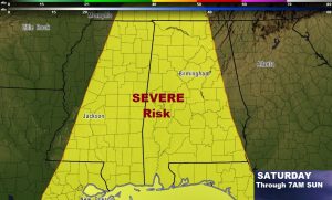
Storm Prediction Center shows a rather large severe weather threat in the plains and lower Mississippi Valley on Friday, edging eastward on Saturday and Saturday night. Severe weather risk may for “Day 4” extends all the way until 7AM Sunday morning. Many question marks remain on the severe potential.
The Global Models continue to advertise a significant temperature drop, again, behind the storm system.
