All eyes on an approaching storm system, currently in Texas. What could be a significant Tornado Outbreak, is expected today from eastern Texas into Central Mississippi. The severe weather threat begins in Alabama in overnight hours tonight, and spreads eastward Sunday morning into the early afternoon into East Alabama. All modes of severe weather are possible, including tornadoes. The timeline is faster now. More into the details below. Here’s the ominous severe weather outlook map for today/tonight and through 7AM Sunday morning.
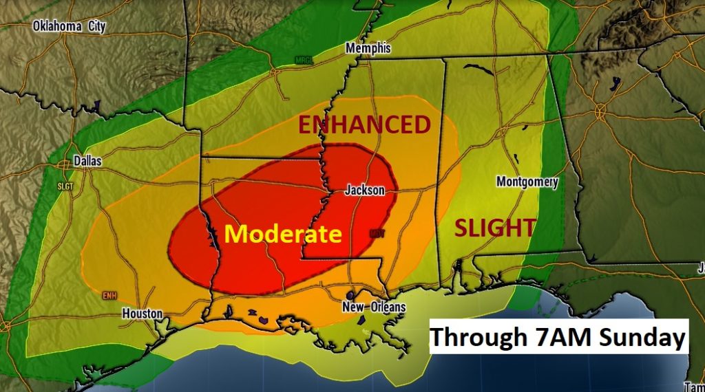
TODAY: Breezy and warm. Partial sunshine. High in the mid 80’s. Widely scattered thunderstorms will develop, particularly this afternoon & evening. Most towns will stay dry. Can’t rule out a stronger storm somewhere in the area. The main activity enters the state late tonight, with severe storms as early as perhaps 1AM over far west Alabama.
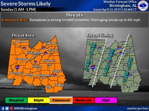
SUNDAY SEVERE WEATHER THREAT: The dangerous part of the equation involves the overnight timeline, beginning in west Alabama as early as 1AM, progressing through much of the western half of the state in the pre-dawn hours and into eastern Alabama by mid to late morning, before exiting state by about 1PM. You need to have an effective way of being awakened when a warning is issued for you, like a weather radio. Our weather app also has an “audio cue” when a warning is issued, so leave your phone active. First, let me show you the outlook map from the NWS in Birmingham. While it covers their counties of responsibility, it is ‘all inclusive’ on the total timeline from 1AM to 1PM. They have opted for a greater ENHANCED severe weather risk. Part of their increased concern involves the overnight time frame. They are trying to increase awareness. NWS also indicate ‘a strong tornado is possible’ (especially across the western half of the state) Here’s their map. Keep in mind the threat extends farther south than their area of responsibility.
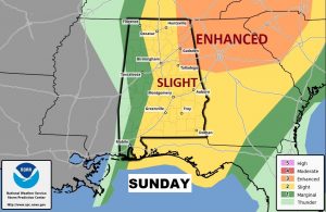
Now let me show you a wider risk area map from the Storm Prediction Center. Their Sunday outlook period begins at 7AM, when severe weather, of course will be ongoing. They have opted for the greater Enhanced risk from NE Alabama eastward.
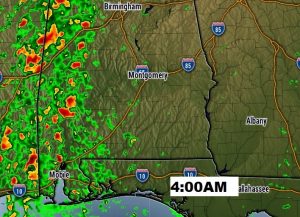
THE FASTER TIMELINE – FUTURE RADAR: I always wrestle about showing you Future Radar snapshots. They should never be taken literally. This NOT the way radar will really look. This is one model’s (NAM) idea on what radar could look like at various hours. Two things are clear. Timing is much earlier now. And, it won’t be a solid squall line (QLCS). The line will be more broken in nature, allowing for ‘individual’ super-cells. In my mind, this is worrisome. This would help promote an increased tornado threat. We’ll watch future hi-res model trends through the day. I have selected snapshots at 4, 6, 8 and 11AM. Please view these with caution. This is just one possible scenario.
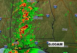
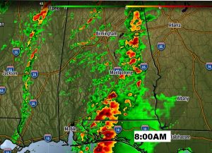
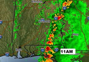
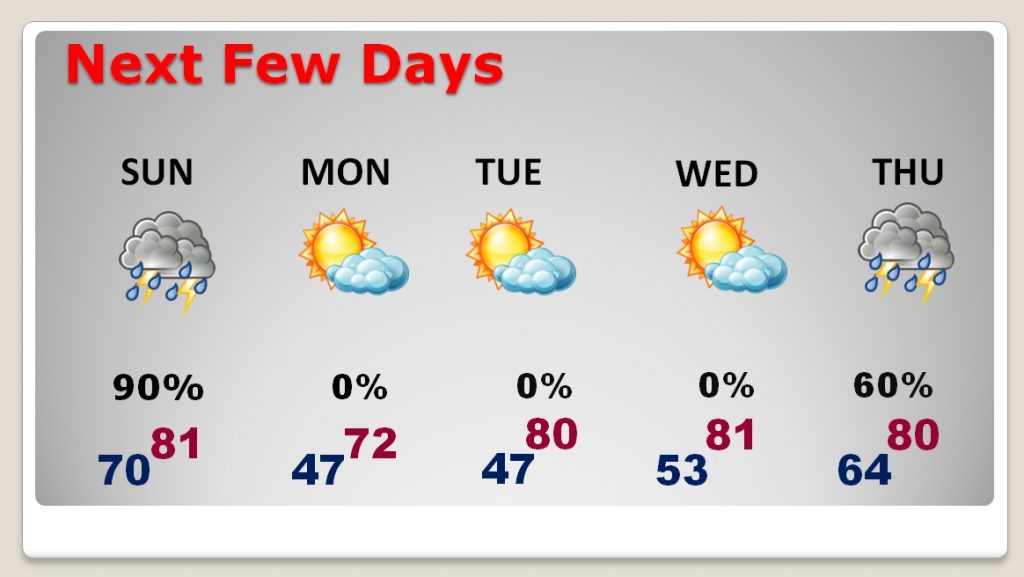
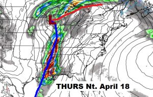
NEXT FEW DAYS: Monday through Wednesday look nice. Pleasant. Lots of sun. Chilly mornings will give way to warm, comfortable afternoons. There is another storm system on Thursday which worries me. Another dose of severe weather can’t be ruled out.
– –
Tomorrow morning, there will not be a “traditional” Blog update, because Severe Weather will be ongoing. I will be LIVE in The Bluewater Weather Center. There will be updates, online, on your app, and on Facebook & Twitter. There will be a LIVE stream (video & audio with me) on your app , on our website, and You Tube. We will interrupt on all 8 Bluewater stations for warnings. I will be contributing to coverage on The Alabama News Network, as well. (CBS 8 and ABC 32). Make sure your weather on in the ‘alert’ mode to wake you up. Our Weather App will also have audio cues to alert you, as well. DO NOT depend on hearing a weather siren. Stay weather aware. I’ll do my very best to keep you up to date.
-Rich
