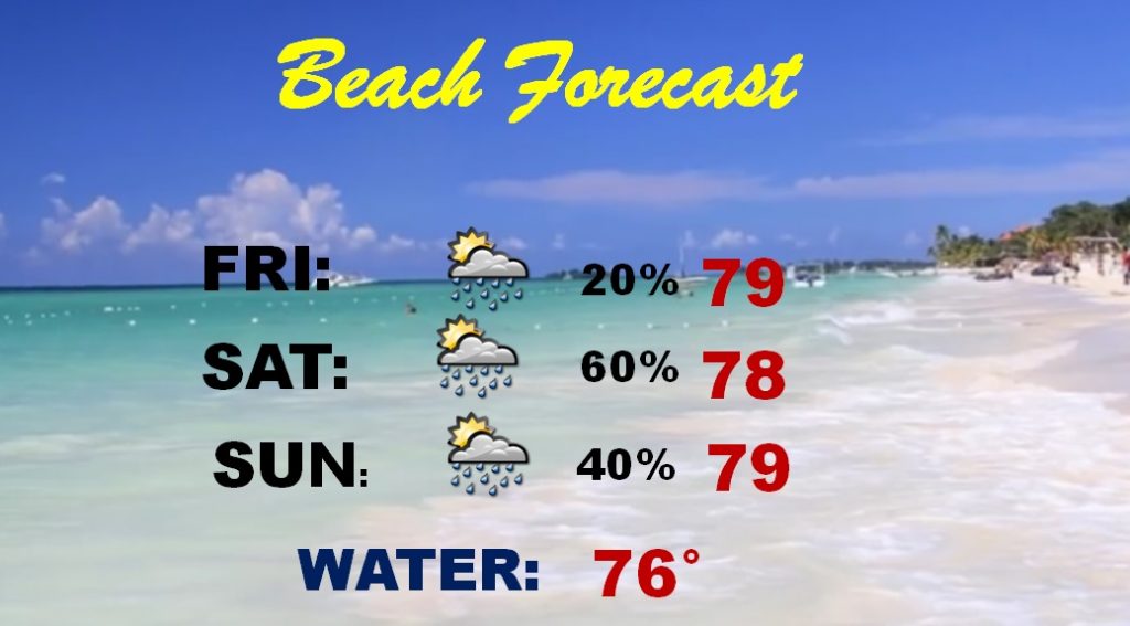
Good Morning! Have a Plan “B” if you have outdoor plans on Saturday and Saturday night. The rain chances continue to get better. Not only that, the severe weather threat is now up a notch, and includes the entire area. On this video, I’ll show you future radar and I have the latest information from the Storm Prediction Center. The Beach outlook has been amended, too. Plus, we’ll look ahead, and take a peek into next week.
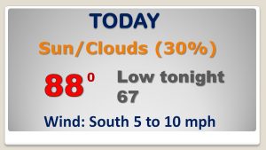
We are in between two significant storm systems today. For us, spotty, random PM storms are possible. Upper 80’s again.
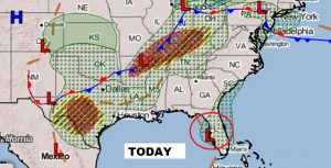
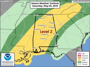
Not only is the rain chance higher now for Saturday and Saturday night, Now the Storm Prediction Center has places most of the state in a Level 2 Severe Weather Risk, including the threat of Damaging Wind Gusts and Large Hail. The Tornado Threat in this situation is low.
Showers and storms become more likely the later in the day Saturday, and especially toward Saturday evening and Saturday night. There is at least a small risk of leftover showers Sunday. Monday is dry and warm. Another round of showers and storms arrive by Tuesday evening into Wednesday.
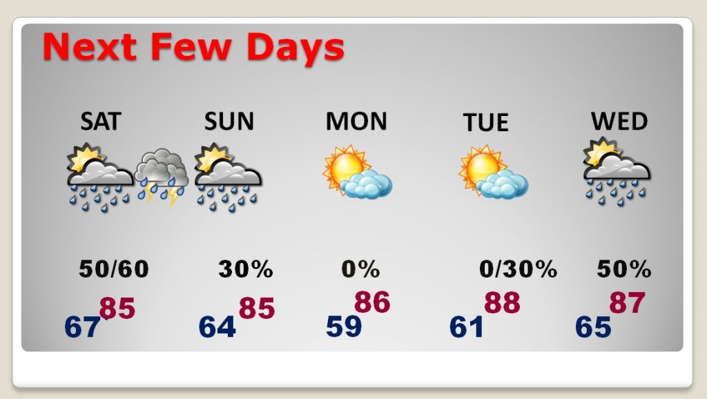
The Saturday rain risk is now higher on Saturday and Saturday night at the Beach. Showers and storms are likely. Some locally severe storms are also possible.
