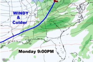
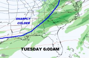
Good Morning! We’ve been enjoying a nice series of days, and our warming trend will continue today. It should be a great Thursday. But, weather changes are on the way as a storm system approaches for Friday. Will this system linger? I have updated the weekend forecast details. The next “big deal” for us, Monday night into Tuesday, involves a cold front which brings in more rain, followed by another sharp drop in temperatures. But, that’s not all. We’ll look deeper into December. Arctic Intrusions could become rather common every few days. I’ll show you a sample.
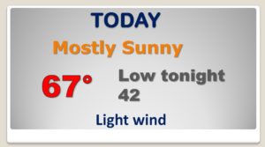
GREAT Day today…as the warming trend continues. Perfect early December Day.
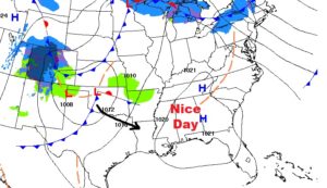
Storm system tomorrow brings in rain by Friday afternoon & Friday night. Saturday should be dry.
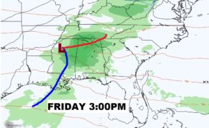
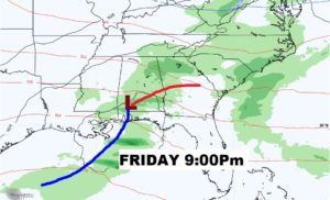
We’ll be in the 60’s for the next few days. After the Friday rain, Saturday should be mostly dry. Only a few spotty showers Sunday. Monday is the warmest day…into the 70’s. Rain and thunderstorms Monday night/early Tuesday, ahead of the next Big Deal cold front which will sharply drop temperatures by mid week.
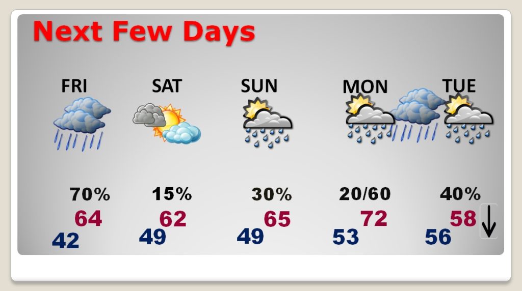
Rain and thunderstorms Monday night/early Tuesday, ahead of the next Big Deal cold front which will sharply drop temperatures by mid week. Falling temperatures Tuesday. We’ll be in the 20’s by Wednesday morning.
