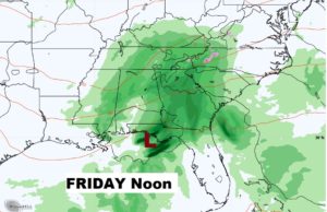
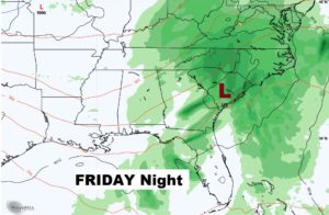
Good Morning! Two cold fronts are on the way. The first will deliver a band of showers and possibly a thunderstorm by mid-day. The second will deliver sharply colder air, as we drop from the 70’s to the 50’s for highs for the rest of the week. On this video I have an update on timing and details. Storm system number two could affect us by the end of the week. What about the weekend. I’ll show you another cold blast next week, too.
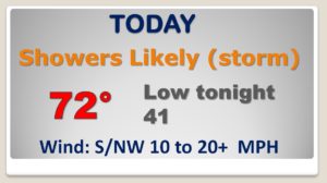
Our high temperature will occur early in the day, as cold front number one brings in a line of showers (thundershowers) by mid-day. Cooler this afternoon. Rain chance continues tonight.
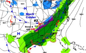
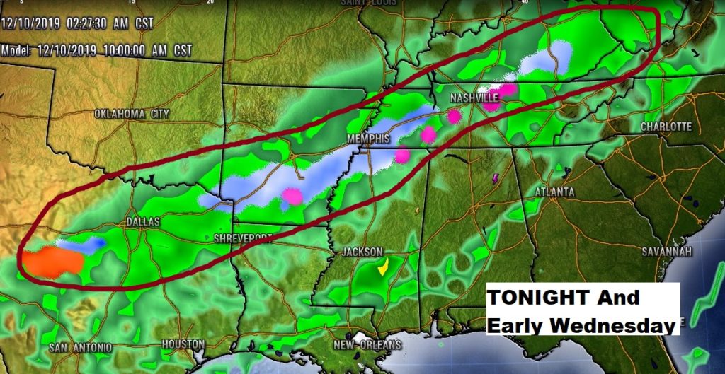
There will be a nasty ribbon of snow & ice and a wintry mix from Texas to Arkansas to Tennessee, possibly affecting north MS and extreme north Alabama late tonight and early Wednesday.
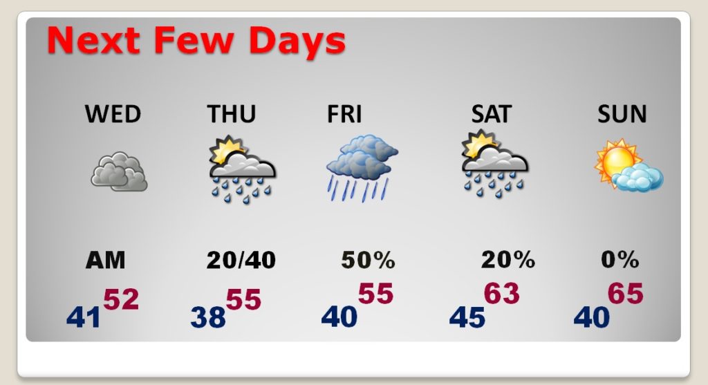
MUCH Colder Wednesday and Thursday. More rain by Thursday night into Friday. The shower threat ends Saturday. Mild weekend. Back in the 60’s
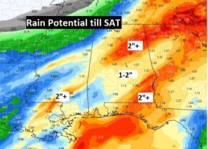
Gulf storm system could bring drenching rain to the southeast part of the state on Friday.
