Good Morning! We’re headed into an extended period of very warm days for the Month of March. A large mound of high pressure over anchored over Florida for the next several days will divert significant storm systems away. We’ll be monitoring a complex storms today approaching from the northwest. Parts of the state could see a couple of strong storms. On this video, we’ll look ahead. How long will this stagnant pattern persist? How will affect the weekend? Who will see the most rain, and who will not?
A complex of storms will slide southeast out of Arkansas into west Alabama, where it might start to weaken a bit. Warm day…
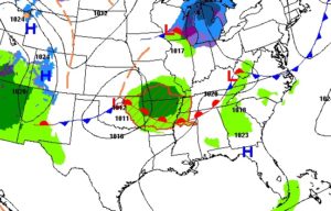

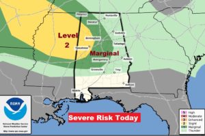
As the storm complex heads southeastward, some of the storms could reach severe limits in western and centtral Alabama by this efternoon into the early evening.
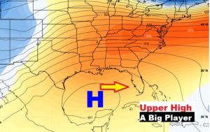
Up at 20,000 feet, a large mound of high pressure, currently over the Gulf, will migrate to Florida and take up residence there for several days, which will keep the southeastern US very warm, with major storm system diverted around us. Relatively small rain chances.
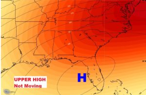
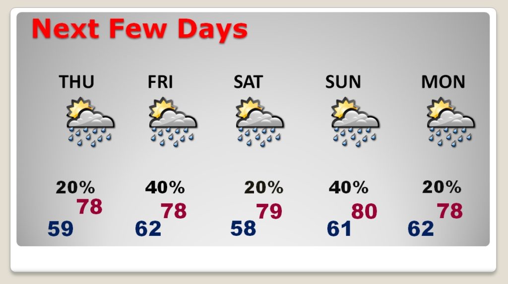
Very warm for an extended period of days, with relatively small risk of showers and storms. Stagnant pattern well into next week.
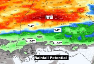
Extreme south and southeast Alabama may not see much rain at all, while parts of northwest Alabama could see 3 to 5″+ in the next 5-6 days.
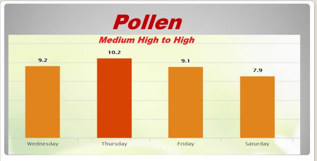
Uh oh. The pollen will become more and more of an issue over the next few days and well into the future.
