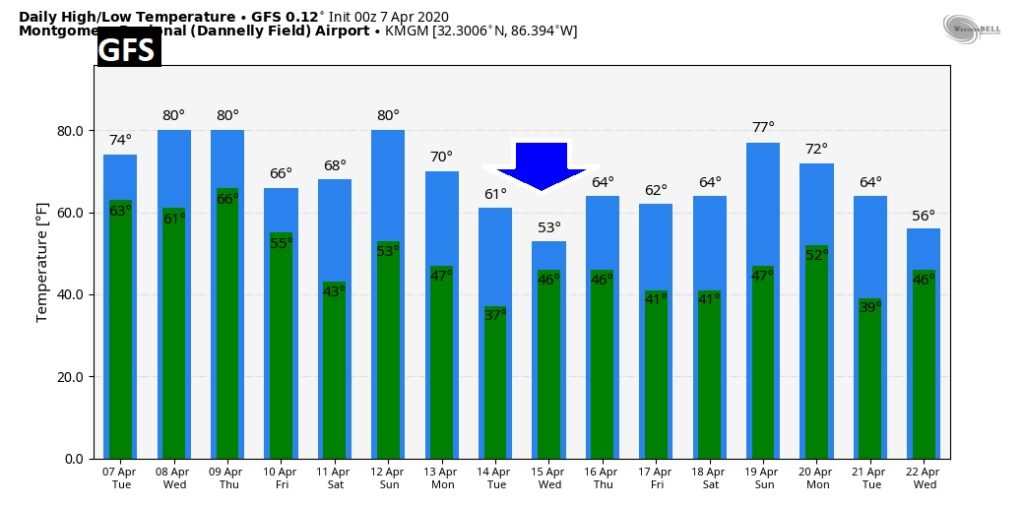
Good morning! Weather changes are underway, as the first of a series of disturbances brings showers and storms back to the area. There will be a series of disturbances which brush by the area this week. Our 80+ degree weather will be around through Thursday. But, much cooler air will filter in by Friday. Many questions remain about the Easter Sunday forecast. But, it now appears a large storm system may bring showers and maybe some stronger storms to Alabama. Timing and details are still a problem. Could we see severe weather? I’ll try to sort out the details.
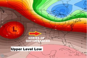
That big upper low in the southwest US will launch a series of disturbances across the Deep South over the next few days. Could the nmaib event be Easter Sunday?
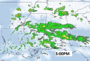
FUTURE RADAR snapshot shows good coverage on the showers and storms this afternoon.
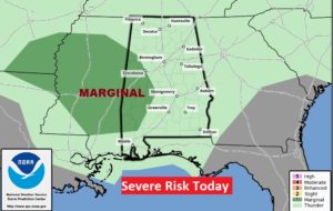
A few stronger storms can’t be ruled out, especially across the western counties this afternoon. Marginal Severe Risk.
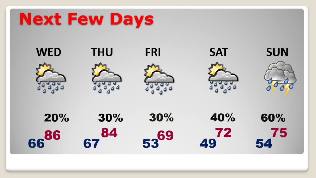
Showers and storms will be around from time to time in the week ahead. We stay warm through Thursday. Much cooler Friday. Risk of thunderstorms increases over the weekend. Growing threat of thunderstorms on Easter Sunday. Could it be a severe weather event?
Here’s the EURO model solution for Easter Sunday. Growing threat of thunderstorms on Easter Sunday. Could it be a severe weather event? Too many days out to make that kind of pronouncement yet.
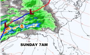
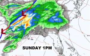
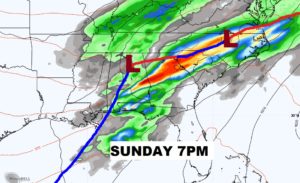
MUCH cooler air follows the storm system. Breezy much cooler Monday.
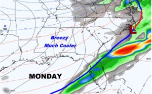
Don’t focus on the numbers. This is only RAW model guidance.. We’re only looking at trends…and the trend show what could be a drastic cooldown during the early part of next week. Stay tuned.
