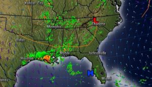
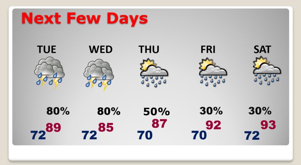
Good Morning! Radar will be colorful this week. The atmosphere is moist and ripe for numerous showers and thunderstorms for next few days. There will be tropical downpours at times. Some storms will be strong with damaging wind gusts possible in a few storms. I have adjusted the rain chances for the week ahead. How long will this active pattern stick around?
A frontal boundary stretched across the state will act as an added focus for showers and storms which will fire up in the afternoon heat.
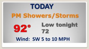
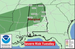
SPC has outlined a huge severe weather risk zone covering much of the eastern half of the nation. Alabama is in the Marginal Risk. Damaging wind guts are the main threat.
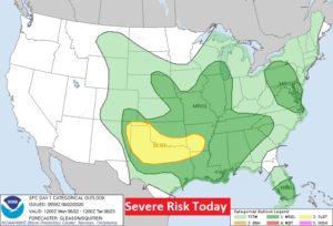
Much of the northern half of Alabama is in the Marginal Severe Risk zone again tomorrow.
Showers and thunderstorms will be in ample supply this week. Storms will thin out a bit by Friday and Saturday.
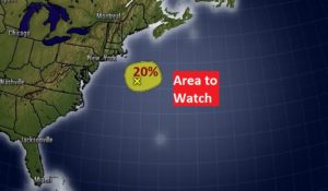
NHC tracking one Area To Watch in the Atlantic, well off the middle Atlantic coast.
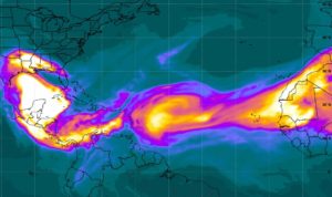
Meanwhile Saharan Dust has now spread out through much of the deep tropical development zone, including the Gulf of Mexico and the northern Gulf coast.
