Good morning! A weakening front could touch off a few widely scattered showers or thundershowers in Alabama today, but generally our rain chances will be quite small for the next few days. It’s an indirect effect from Tropical Storm Isiais. We are on the drier, subsistence side of the storm. Storms will be few or none Monday through Wednesday across our area.
Meanwhile, better news for Florida today. Isiais will not only stay just off-shore from the Florida East Coast, it is a but weaker this morning, after it’s trek through the Bahamas. Isais will cause multiple problems up the US East Coast for a good part of the week ahead. More on the storm and it’s impacts below.
Here’s the set-up this morning, with Isiais near the south Florida coast and a weakening front in central Alabama.
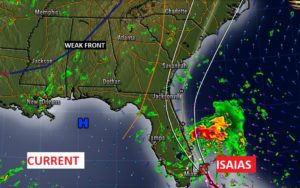
TODAY: A good bit of sunshine. That weak front currently located in central Alabama is starting to fizzle, but still, a few widely scattered showers or a thundershower is possible. High 93. Tonight’s Low 74. Here’s a future radar snapshot from the HRRR model at 2PM.
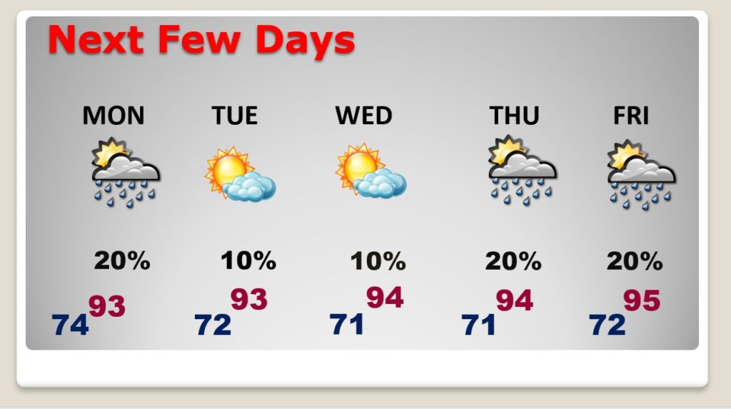
NEXT FEW DAYS: Rain chance tiny or almost zero Monday through Wednesday. Isolated storms possible late week. High in the low 90’s. Lows in the low 70’s.
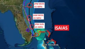
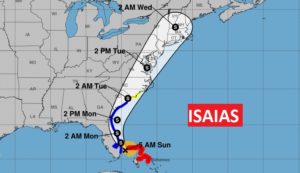
TROPICAL STORM ISAAIS: The storm center currently about 45 miles ENE of Fort Lauderdale, is moving NW at 9. Winds have decreased now to about 65 mph, after the storm’s trek through the heart of the Bahamas. Isiais’ track will stay just east of the Florida coast. The Hurricane Warning in Florida has been replaced with a Tropical Storm Warning. The Tropical storm warning extends northward to South Carolina,
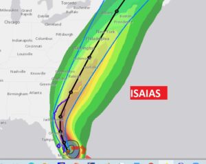
Isiais’ projected track along the eastern seaboard is problematic, in that it will bring tropical storm winds, extremely heavy rain, and large waves to much of the US East Coast. Many large cities are in it’s path. It will make a lot of headlines.
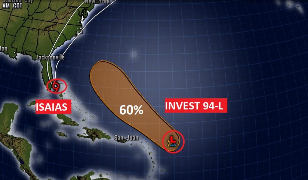
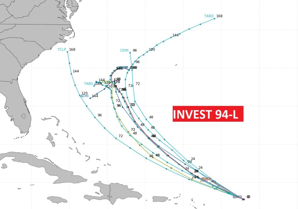
THE TROPICS: Meanwhile, behind Isiais in the Atlantic is Invest 94-L. It now has a 60% chance of development in the next 5 days. The next name on the list is easier to pronounce, JOSHEPHINE. Probably this would be an Atlantic without a US threat. But the models are not sure what to do with it.
–
I’ll have a complete video update for you tomorrow morning.
Stay safe and well. Enjoy the rest of your weekend …
–Rich
