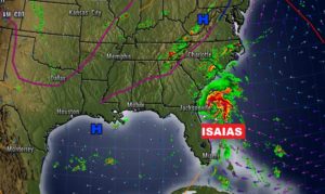
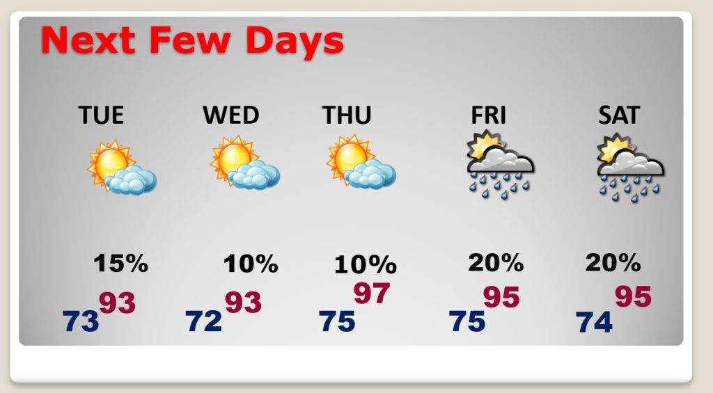
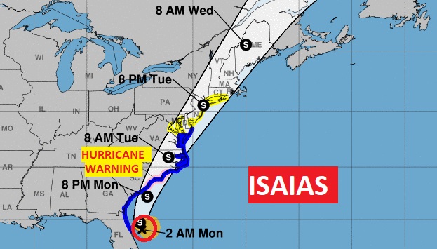
Good Morning! The big news here in the Southeastern US continues to be Isaias. It’s on a collision course with the Carolinas as a Hurricane. Then, it will terrorize the eastern seaboard, inland, affecting all the big cities in the East. While that drama is occurring, the in-direct effect of Isaias on our weather, will be to rob the moisture. Our rain chances over the next few days will be ‘Slim and None”. How long will that last?
Except for the drama off the SE US coastline with Isaias, things are quiet and uneventful across Alabama. A weak front is fizzling.

Rain chances are not zero, but are very small…20% or less.
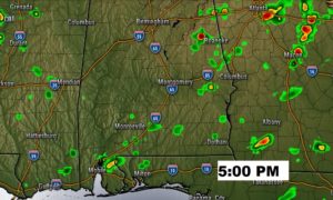
Rain chances for the week ahead are Slim and None this week. What a BIG difference from last week!

Isaias is a 70 mph tropical storm located about 115 miles ESE of Jacksonville moving north at 9. Expected to regain hurricane strength today. Hurricane Warning in effect for parts of the South and North Carolina coast. Then the storm will still have tropical storm strength, inland, all the way up the eastern seaboard, affecting all of the big cities like DC, Philly, NYC and Boston with tropical storm conditions, and still a tropical Storm into New England.
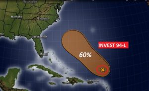
Elsewhere in the tropics, in the Atlantic, NHC gives Invest 94-L a 60% chance of becoming a Depression or Tropical Storm in the next 5 days.
