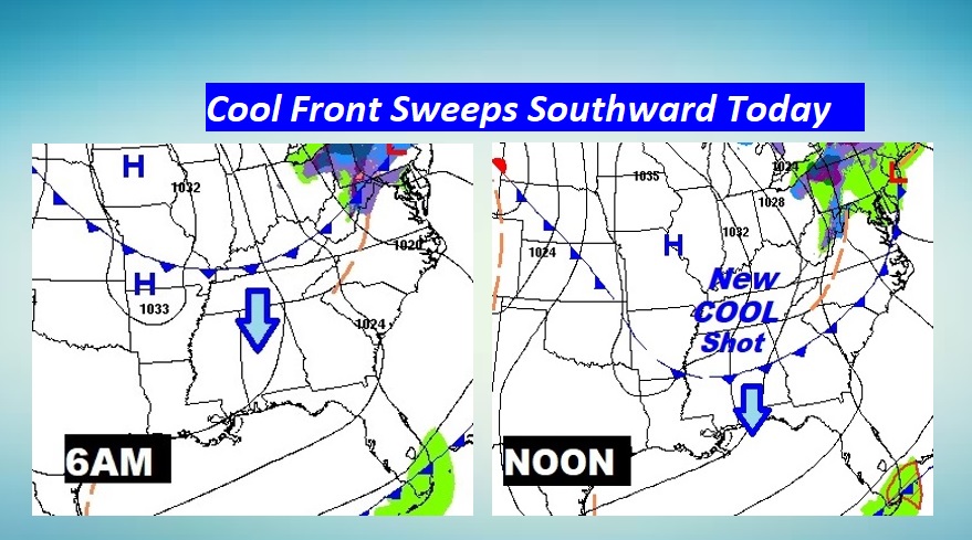
Good Morning! We have a couple of very chilly nights in our future. But, we are already looking ahead to nice warming trend beginning at the end of the week and into the weekend. The big question is…when is it going to rain. We are into an unusually long period of storm-free weather. We’ll look ahead to some improving rain prospects for Thanksgiving Week.
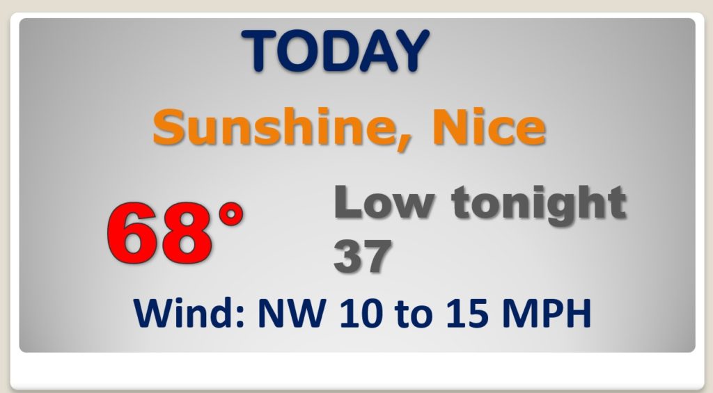
As that secondary Cold front quickly slips through today. It’ll be a little breezy. COLD again tonight.
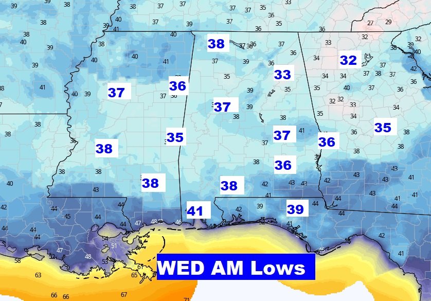
We have at least two very chilly nights ahead. In all FOUR nights this week in the 30’s
Hang on. We’ll be back in the low 70’s Friday and mid 70’s this weekend.
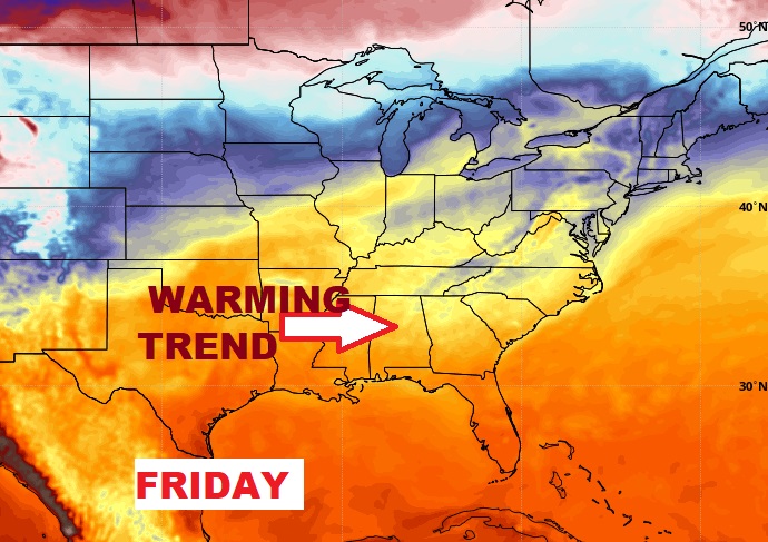
We have at least two more nights ahead in the 30’s. But stand by. The warming trend starts Friday and continues this weekend. Meanwhile, we are still storm-free at least through Sunday.
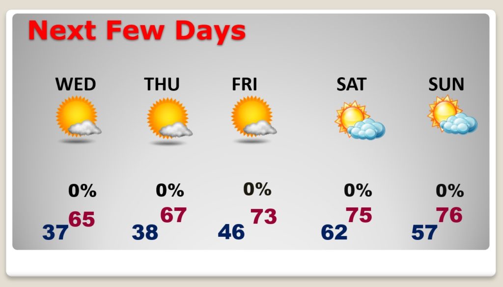
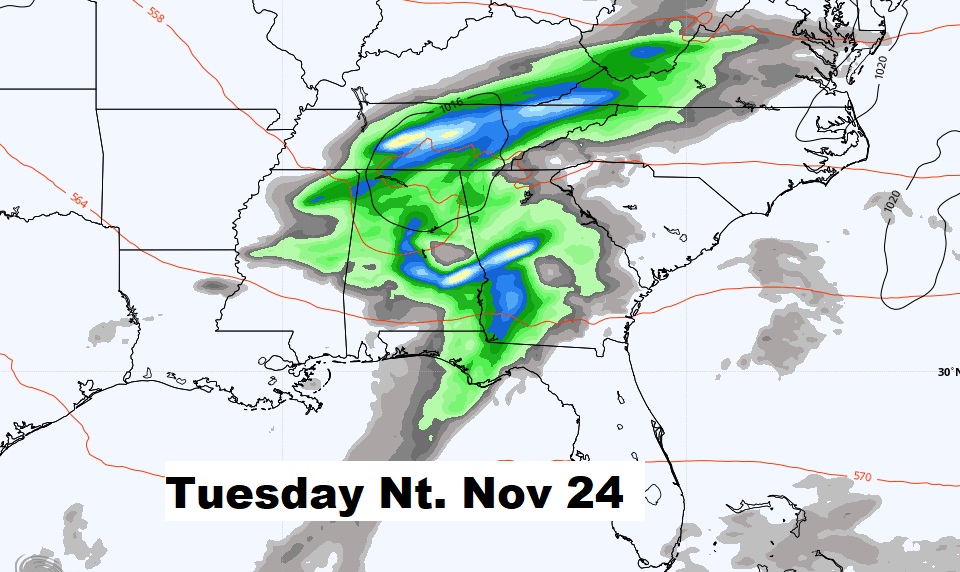
We have a chance of showers Monday, but it looks like a better chance of showers and storms on Tuesday night, right before Thanksgving.
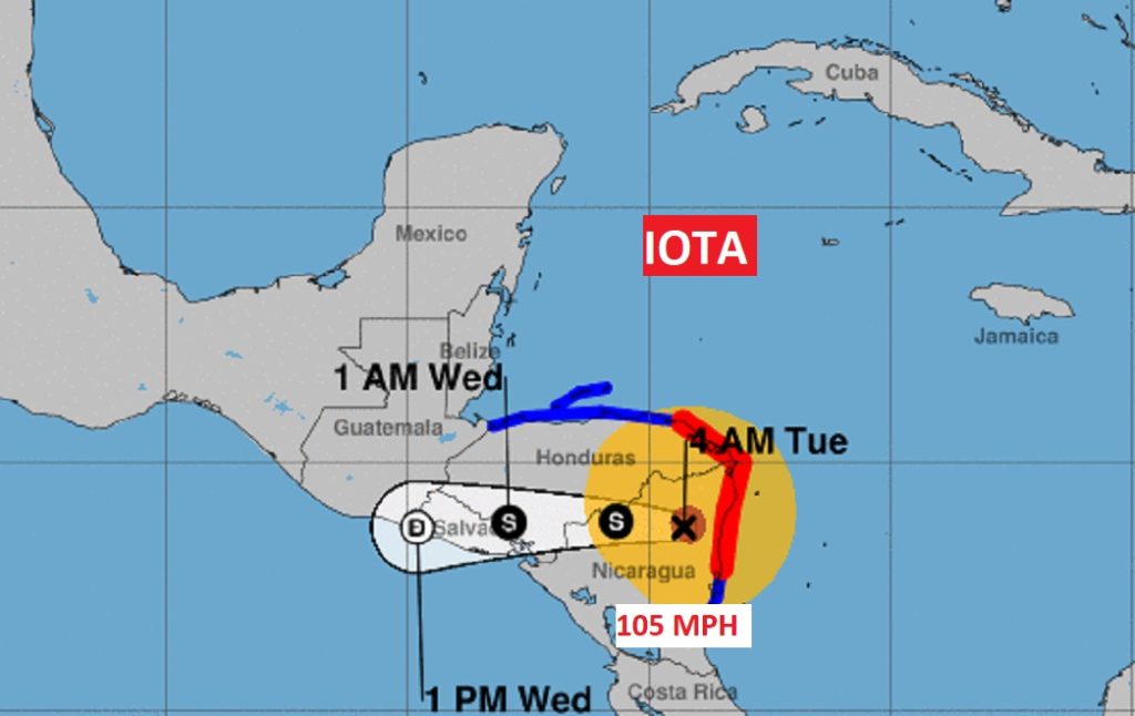
IOTA made landfall in Nicaragua overnight as a Category 5 Hurricane. Strongest November landfalling hurricane in history. It made landfall only 15 miles from where ETA made landfall on November 4th.
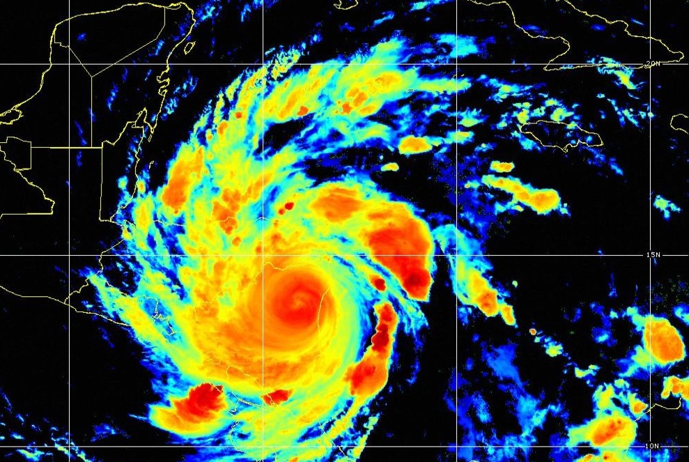
Now a Cat 2 hurricane, inland, but still with 105 mph winds. Horrific loss of life is possible from IOTA.
