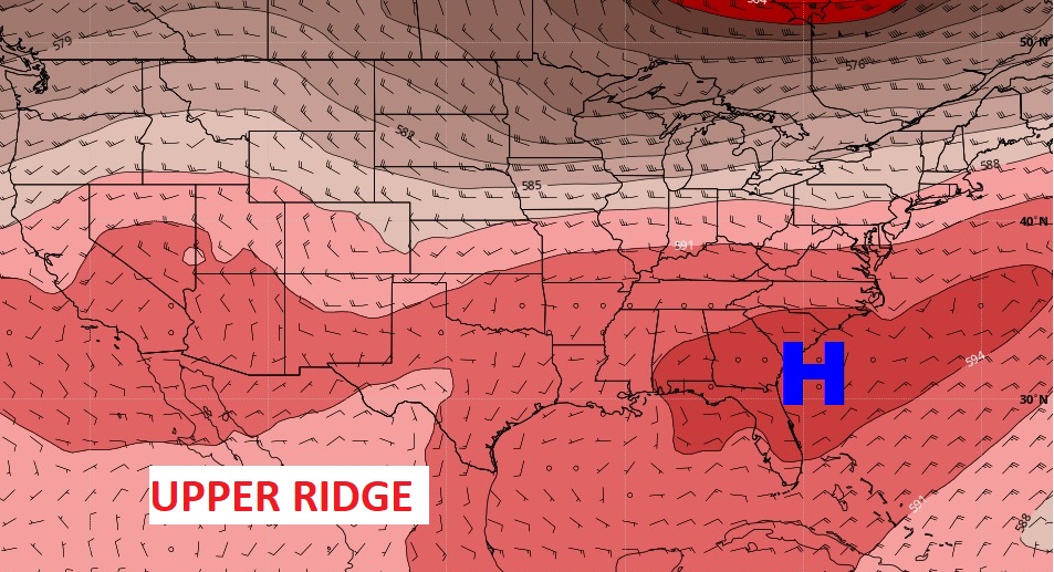
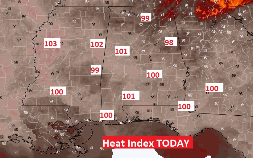
Good Morning! We have eased into a more typical July pattern. Upper level high pressure continues to build over Alabama. After days of numerous storms, the number of daily storms has become widely scattered. That has lead to more sunshine and hotter days. The heat index today will be very close to the triple digit level today and through the weekend. On this video, I’ll tell you about another pattern change starting around the first of next week. Are you heading to the coast? I have updated the weekend Beach Forecast. Plus, we’ll check the tropics.
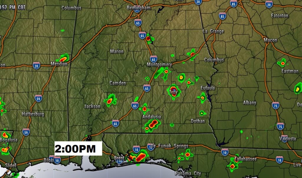
With a ridge of high pressure overhead, once again today, random storms will be widely scattered. Few and far between.
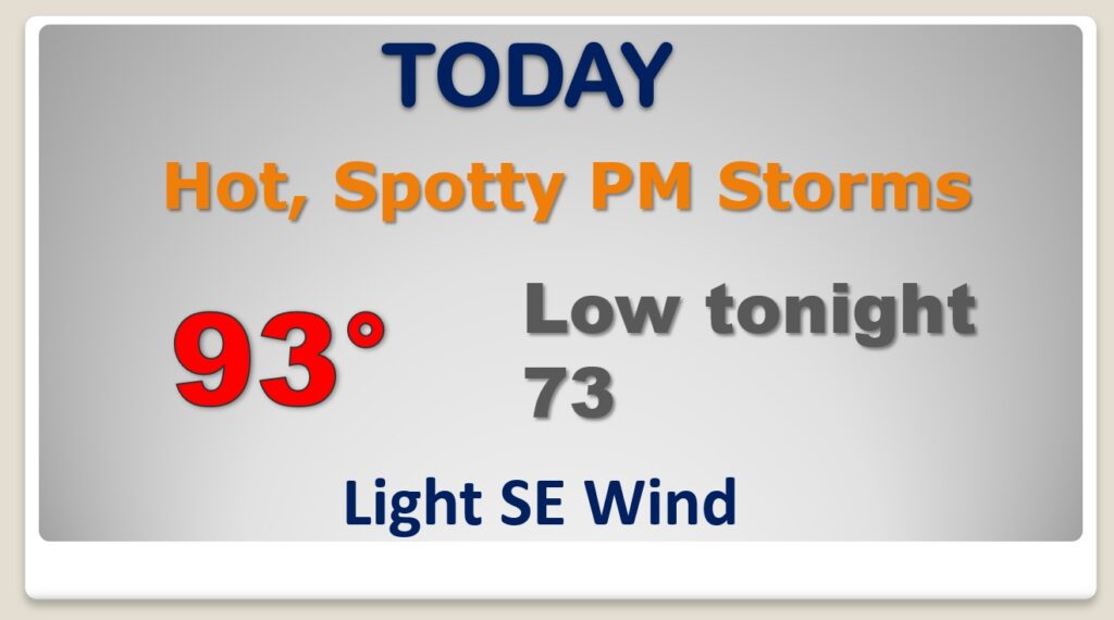
Hot again today. High index near or above 100. Slow down and take it easy. Drink plenty of liquids.
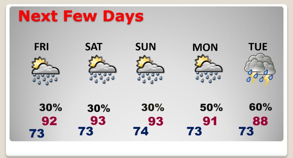
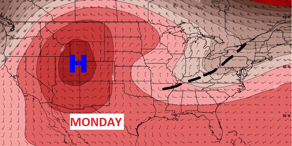
Typical July pattern. Hot and humid. Spotty “Hit or Miss” storms through the weekend. Little day to day change. Storms become more numerous Monday and Tuesday, thanks to another trough in the upper atmosphere.
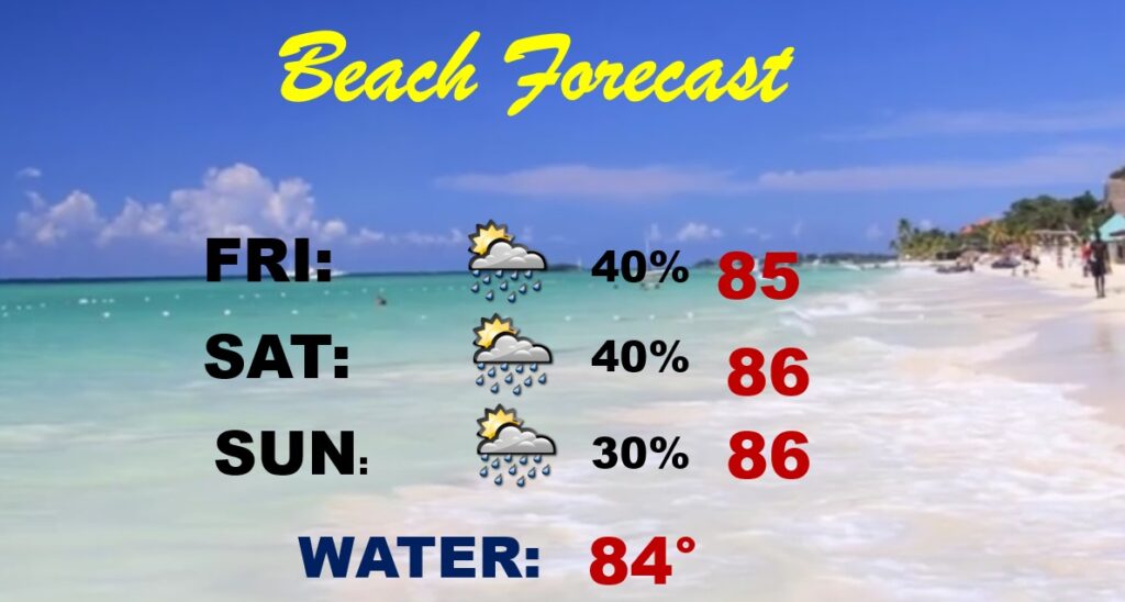
Not a bad Beach Forecast… Scattered, spotty storms. High in the mid 80’s Typical July forecast.
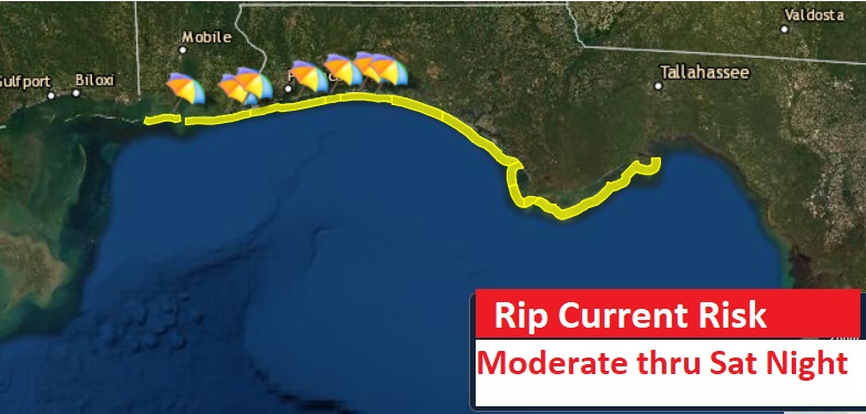
Yellow Flags through at least Saturday night. Moderate Rip Current Risk.
