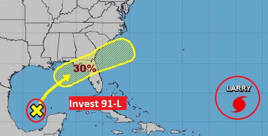
Good morning! A stalled front will be the focus for another round of showers and storms today. A second front will enter the state tomorrow and will deliver another round of storms as the first front fizzles. Meanwhile, what about Invest 91-L in the Gulf, heading towards the northern Gulf Coast. How will it all play out? I’ll do my best to dissect the details. Plus, I’ll tell you about some much nicer air arriving by late week.
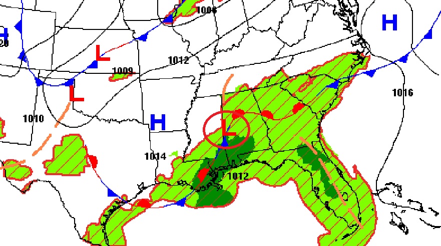
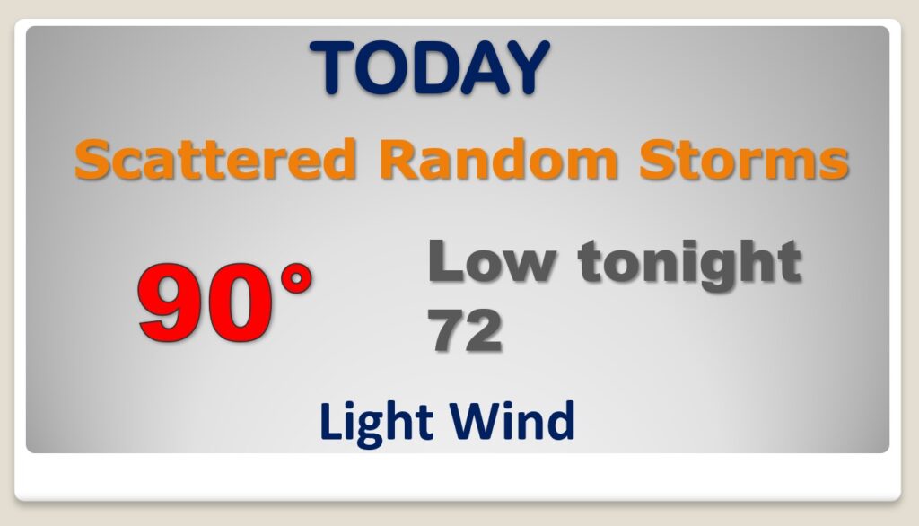
Scattered random showers and storms will be in generous supply again today, as low pressure moves along a frontal system.
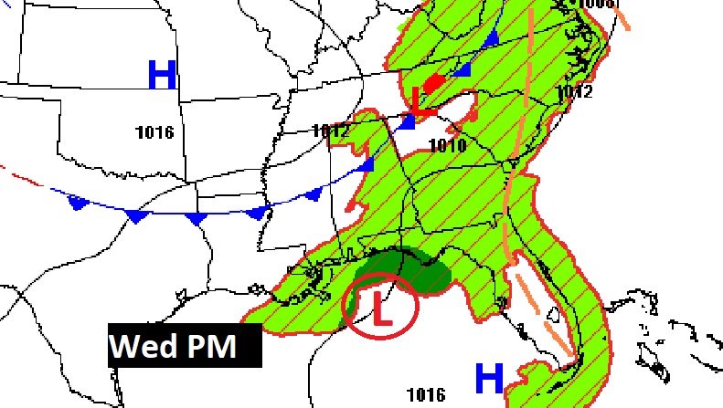
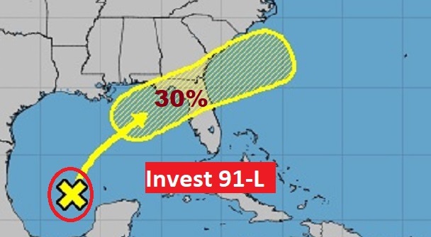
Tomorrow a second front moves into the state. This front is likely to “pick up” a tropical or sub tropical low (Invest 91-L). It is possible this system will develop a little more off the southeast coast.
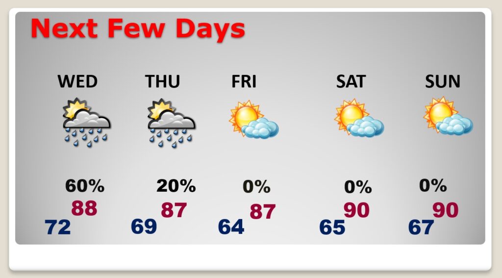
Showers and storms remain likely through Wednesday, but by Thursday afternoon and Thursday Evening, drier will filter in, leading to lower humidity Friday & Saturday and some nice nights.
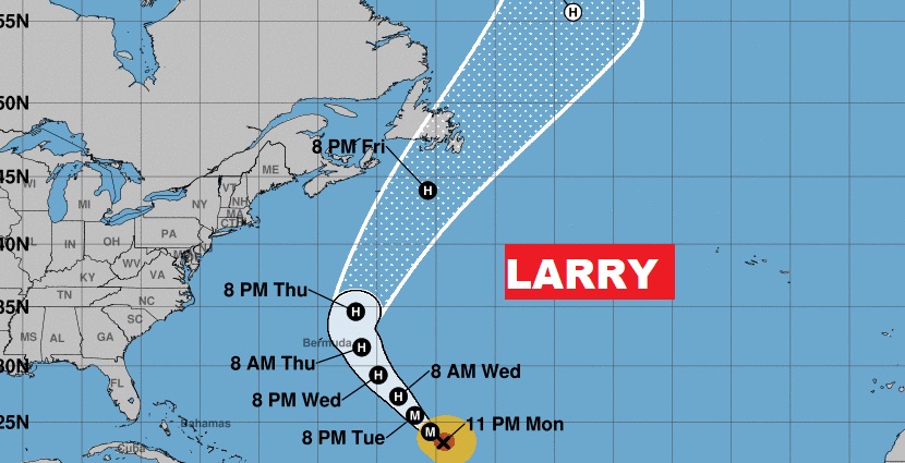
Besides Invest 91-L, NHC is still tracking major Hurricane Larry in the Atlantic.

