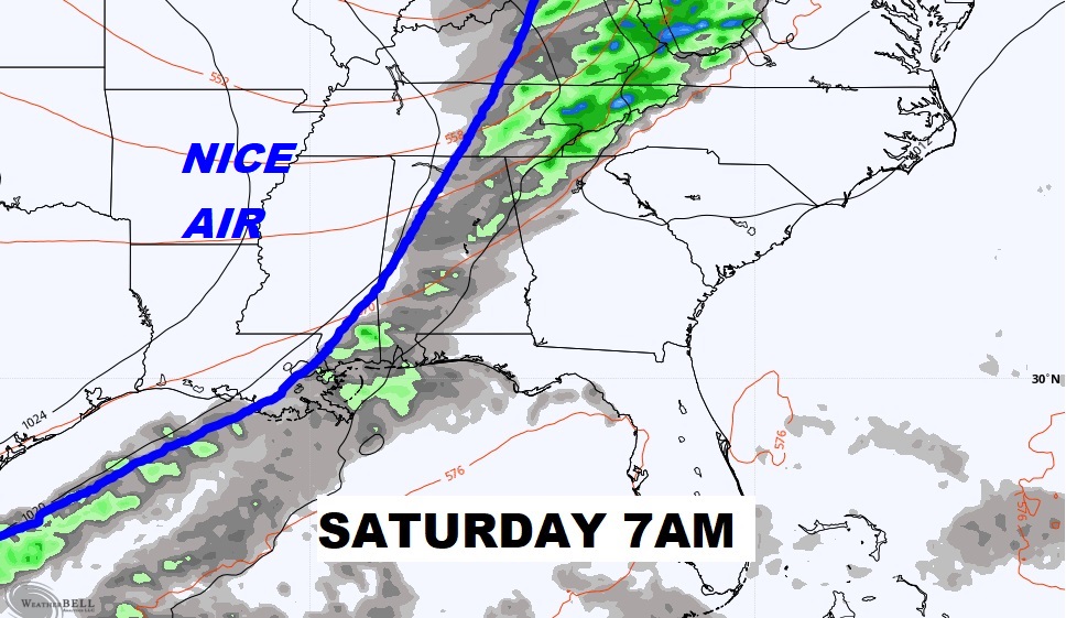
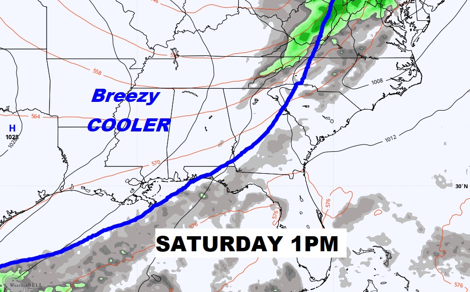
Good morning! Our extended string of storm-free, very warm October days rolls on today and Friday. But, hang on. BIG changes are right around the corner. A significant Cool Front is approaching. Scattered showers will precede the front Friday night and Saturday morning. Behind the front, much cooler air will funnel into the state on gusty north and northwest winds Saturday. This will be the most significant front since the first day of Fall. A series Jacket weather nights, and cool, comfortable days will follow. Coolest of the season so far. We’ll look ahead to the next storm system.
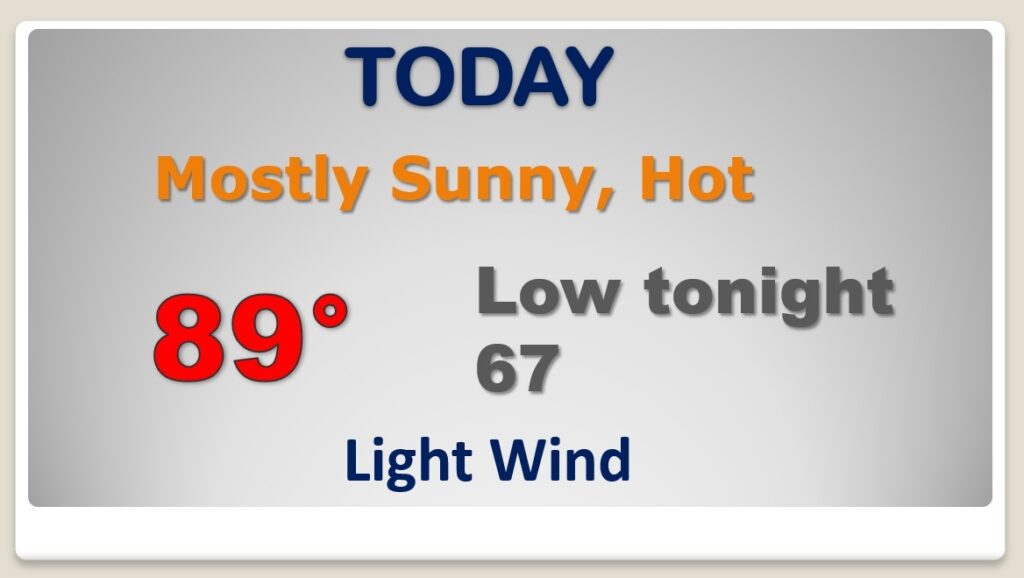
Today will be like yesterday and the day before, Abundant sunshine. TOO WARM for October.
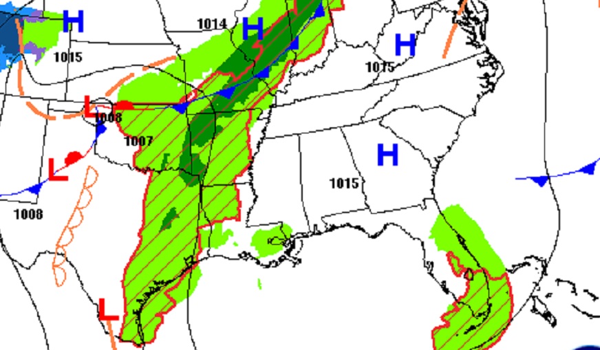
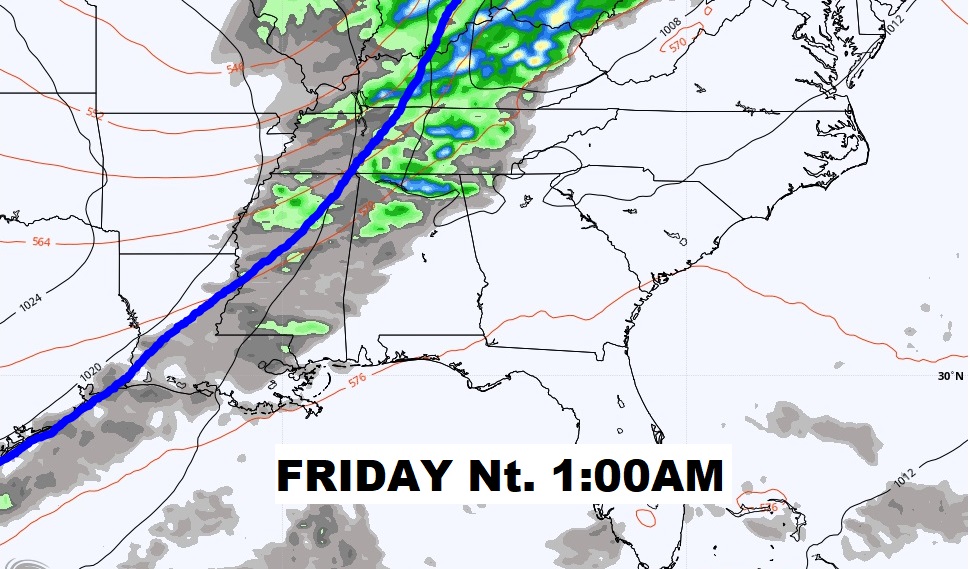
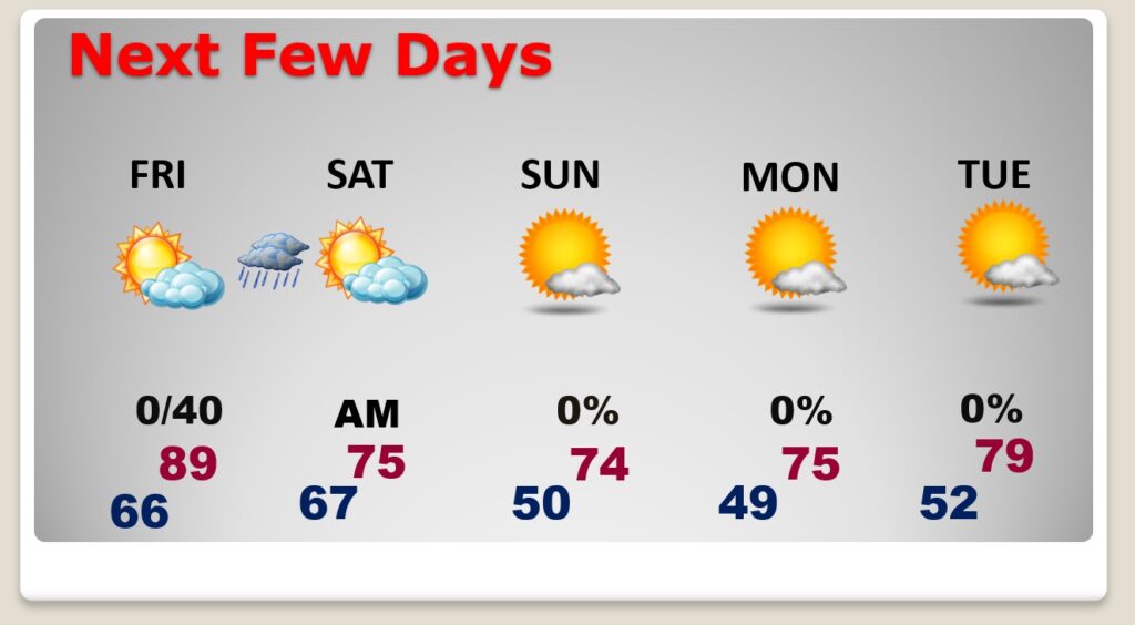
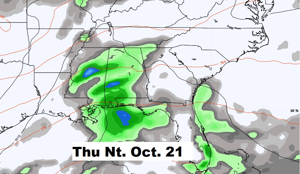
Important Cold Front will bring a risk of showers ahead of the front Friday night & Saturday morning, as the front quickly slides southeastward, reaching the Wiregrass area by lunchtime Saturday. Windy and cooler behind the front.
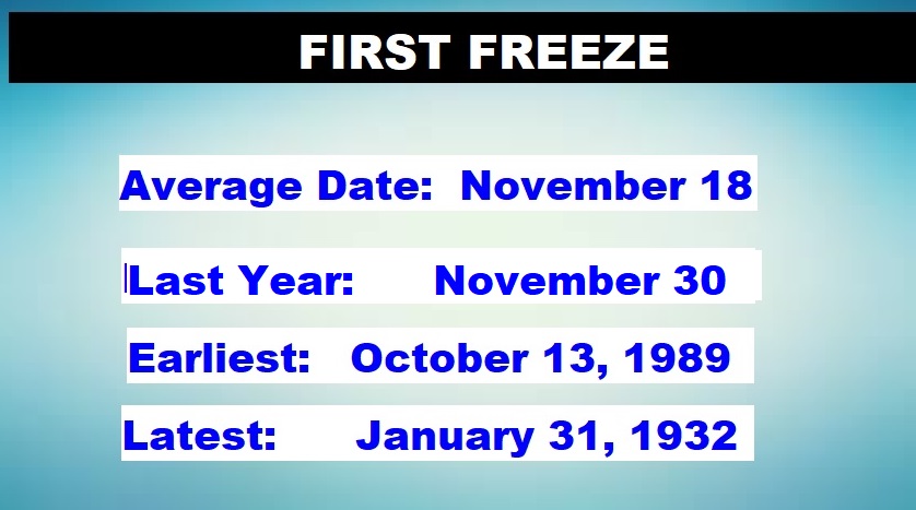
So far the coldest morning was 52 on September 25th…so this will be the coldest of the season so far. Take a look at the projected lows on Sunday and Monday morning near Dawn.
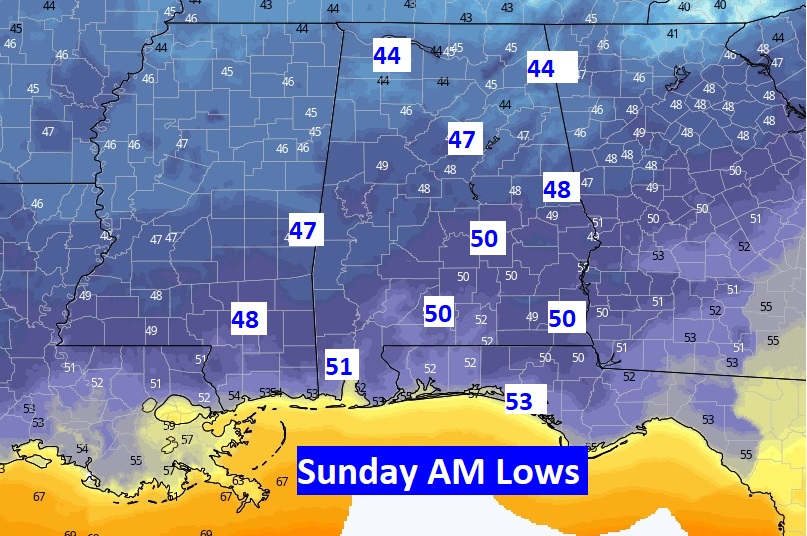
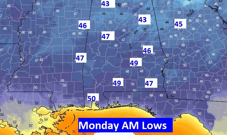
TOO Warm today and tomorrow. Scattered shower Risk Friday night and early Saturday. Breezy and cooler. Chilly Jacket weather nights Saturday, Sunday and Monday. Perfect Fall Days this weekend and Monday.
Next rain …. Late next week.
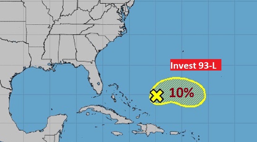
Nothing to worry about, right now, in the Tropics.
