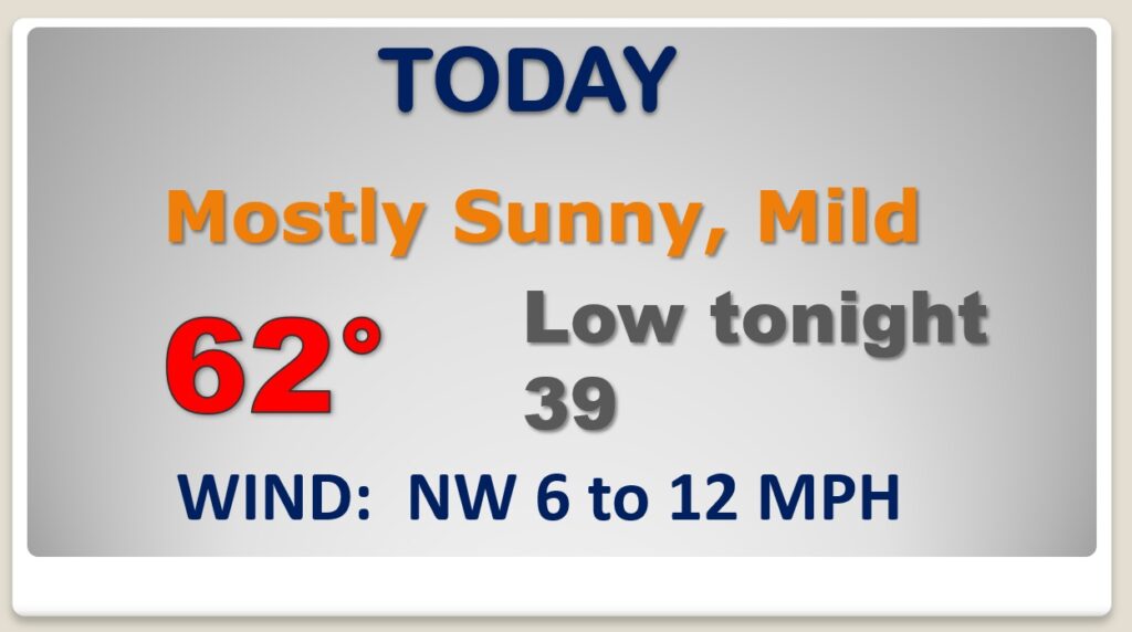
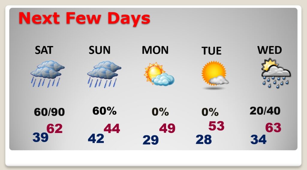
Good Morning! Our beautiful January weather continues for now. Yesterday’s high was 66. We’ll be in the low 60’s today. But, get ready for some radical changes over the weekend. A significant winter storm will approach the state. Risk of showers begins Saturday afternoon. Periods of rain will drench the area Saturday night & Sunday, as very cold air engulfs Alabama. We will probably see a few flakes of snow mixed with the rain before ending on Sunday. Get ready for a visit from Old Man Winter.
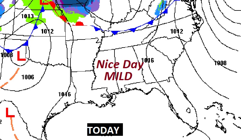
Today will be the LAST day in this nice January pattern. Dry, mild, sunny. Low 60’s
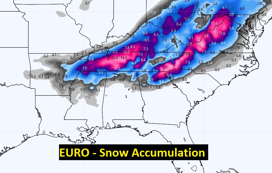
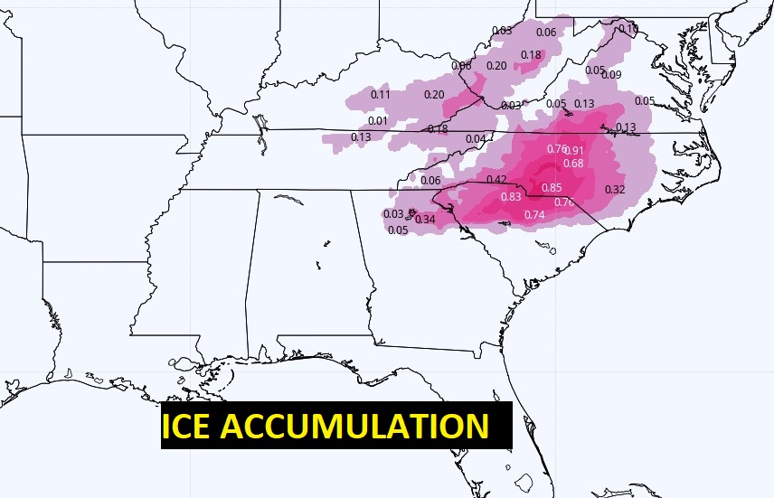
A significant Winter Storm will cross the South over the weekend. Some states will see heavy snow. The Carolinas are in for a crippling Ice Storm. For us, it will be mostly rain. Perhaps a few snow flurries on the back end before it ends.
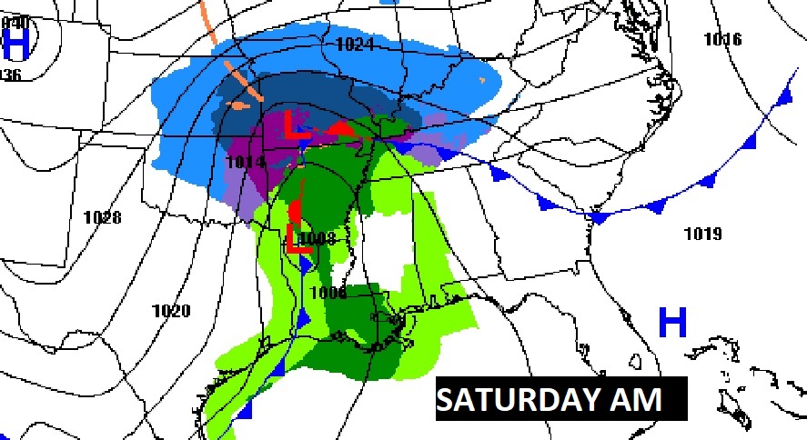
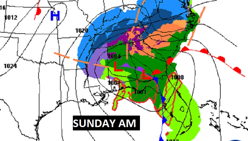
By mid day Sunday, near the back end of the precipitation shield, we’ll probably see a few snow flurries or a bit of sleet mix in with the rain, before it ends. No accumulation.
Sunday will be a raw winter’s day. Periods of rain, eventually mixed with a little bit of sleet and flurries before ending. Falling Temperatures. Cold MLK day. Showers return by the middle of next week.
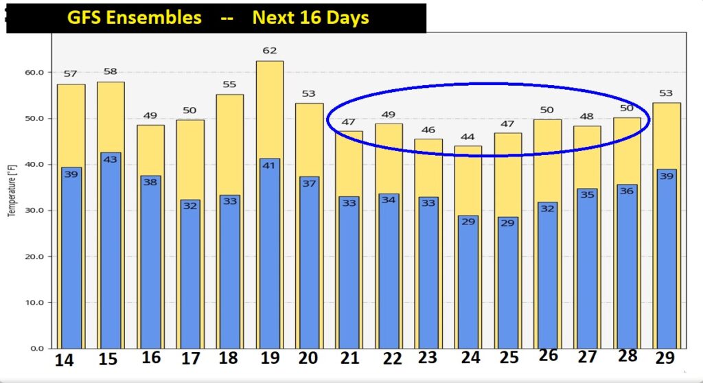
The GFS Ensembles are advertising the coldest days of the Winter so far between January 20-28.