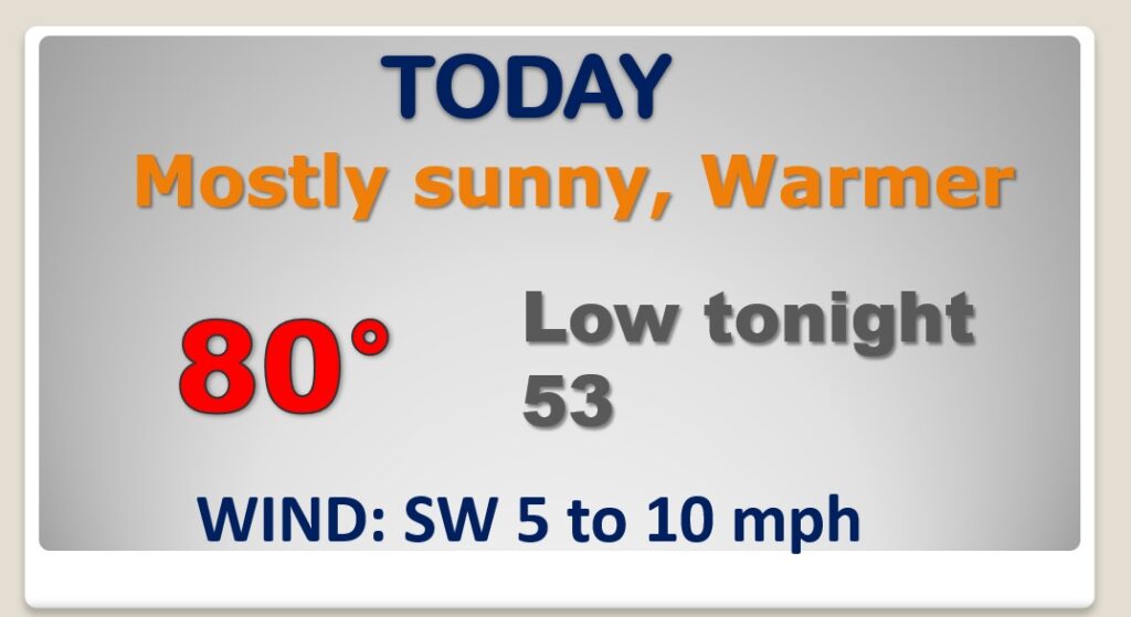
Good Morning! Our string of nice, storm-fee days is not quite over yet. The days are getting warmer. We’ll be near 80 today, and well into the 80’s Tuesday & Wednesday. Our eyes are the next storm system which will swing out of the Plains states Tuesday and into Alabama by Wednesday night. Concern is growing that some storms will become severe. All modes of severe weather are possible including tornadoes. On this video, I have the updated SPC threat level and a look at the potential timeline.
Nice Monday ahead. Big warming trend.
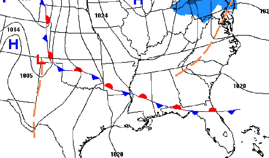
All eyes on the next Big Deal Storm System which will bring yet another severe weather threat to Alabama Wednesday night, including the threat or tornadoes.
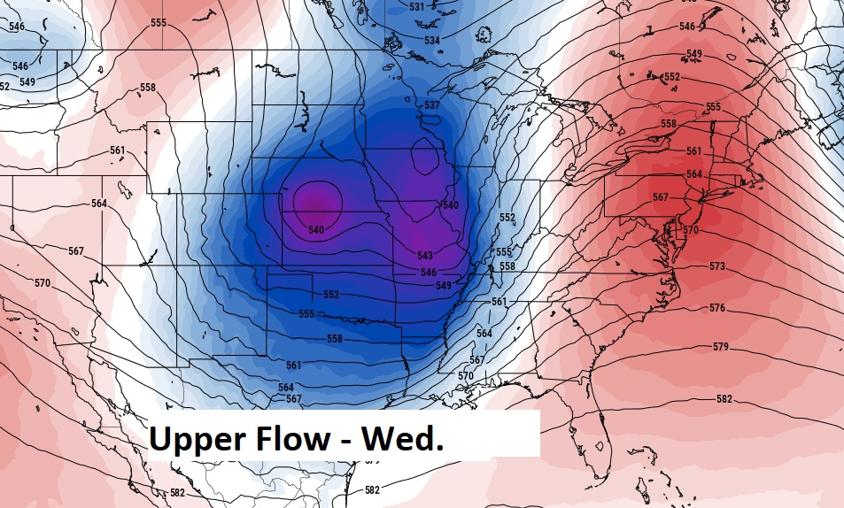
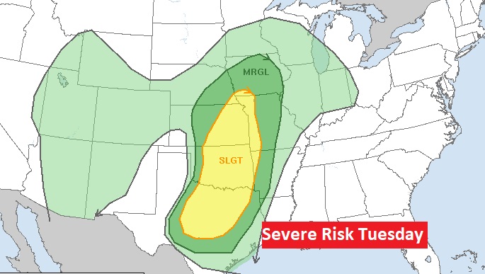
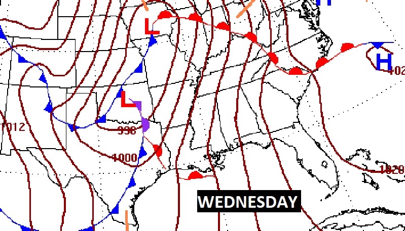
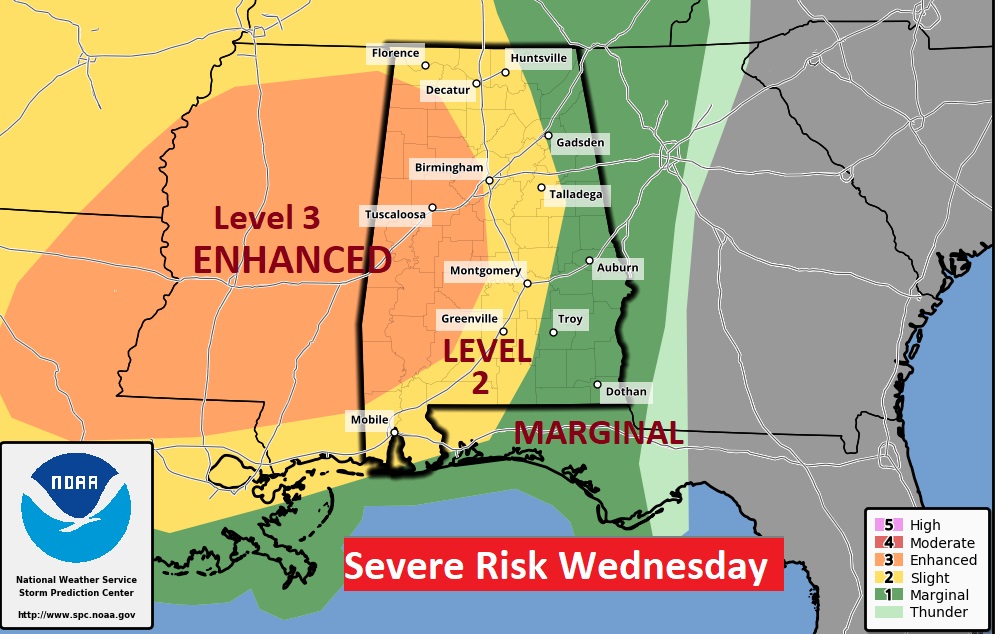
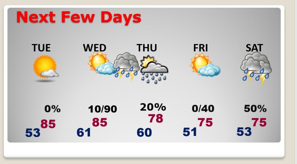
Very warm through Wednesday afternoon. Severe storms Wednesday night. Dry most of Thursday & Friday. Front returns northward Friday night. Showers & Thunderstorms Saturday.
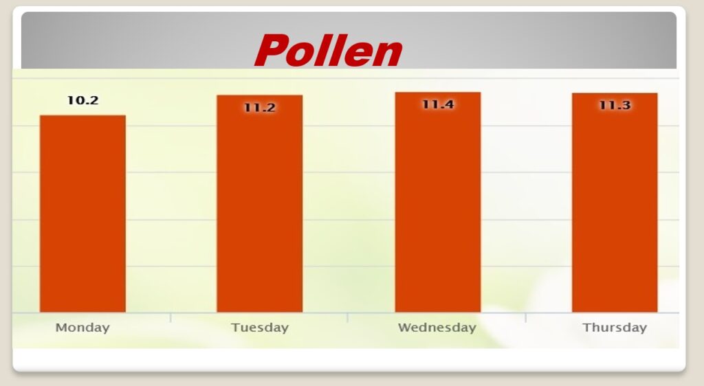
Pollen count? Don’t ask….
