
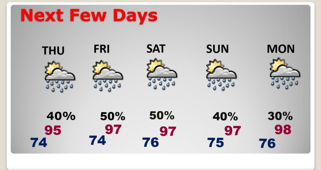
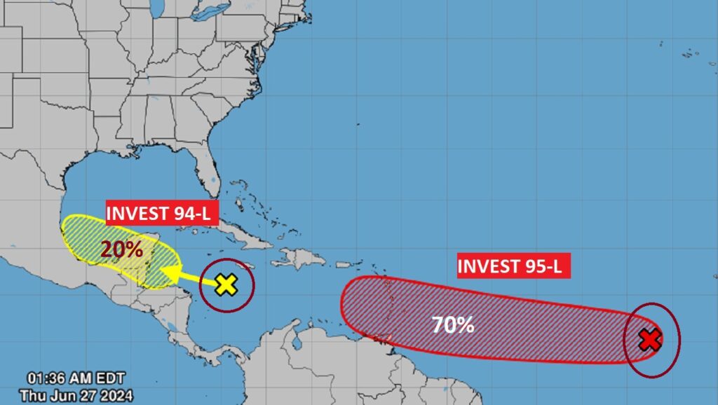
Good Morning! Intense heat continues in the forecast today and through the weekend. The Heat index will continue in the triple digit range each day. A heat advisory may be required this weekend. Like Wednesday, radar will be quite active again today. The storms will be random, but there will be locally heavy downpours. In fact, the elevated rain chance will be around each day through the weekend. Be flexible with your outdoor plans this weekend for here and on the coast. The Tropics are coming alive. NHC is tracking two Invests. In fact 95-L has a 70% chance of developing to Tropical Storm status before it reaches the islands. Here’s my brief forecast discussion.
TODAY: A Sun/cloud mix. Hot and humid again. High mid 90’s. Heat index triple digits. A generous supply of Scattered random storms will develop, especially by afternoon and evening. Low tonight 74.
Showers and storms will be a lot more numerous, especially by late this afternoon. Here’s an example of two hi-res Future Radar afternoon examples this afternoon.
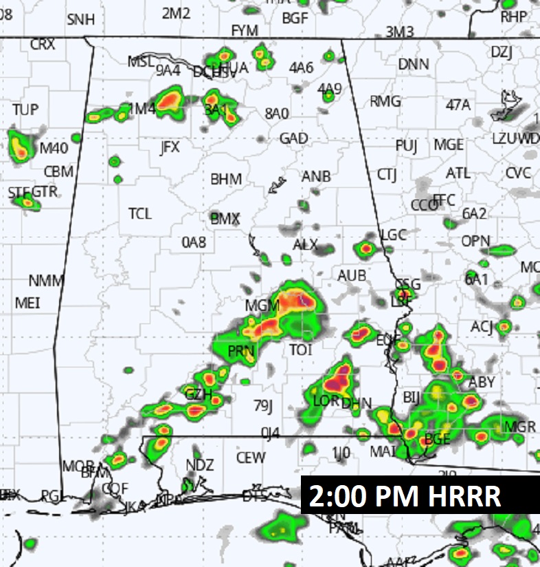
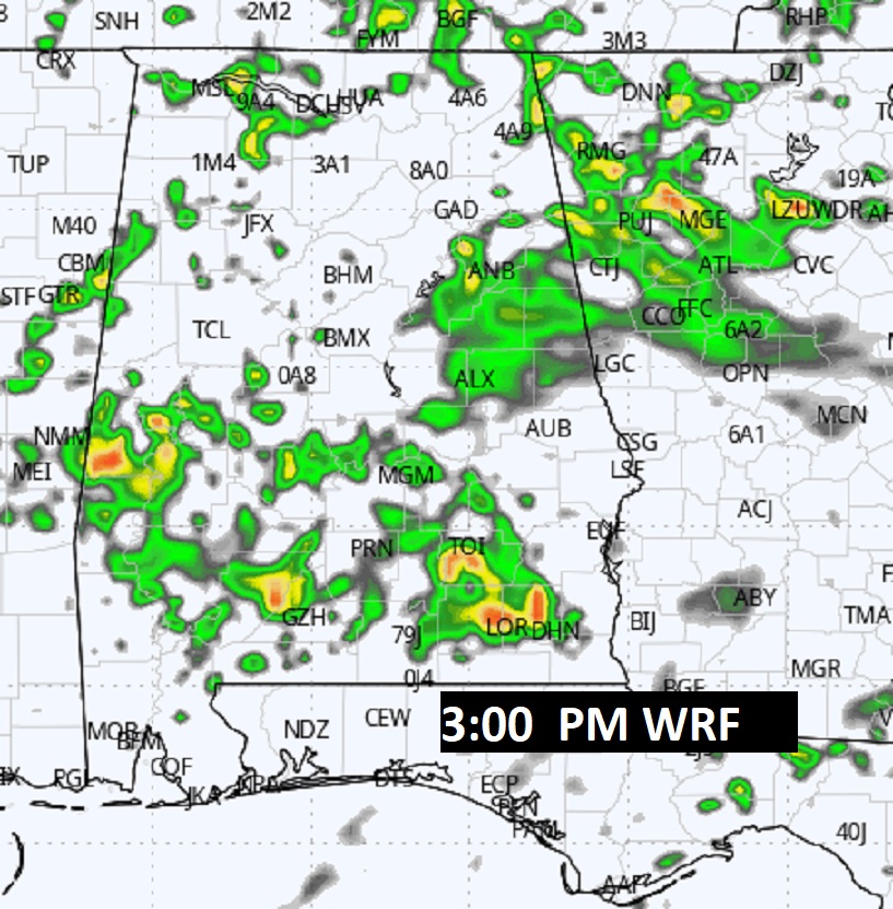
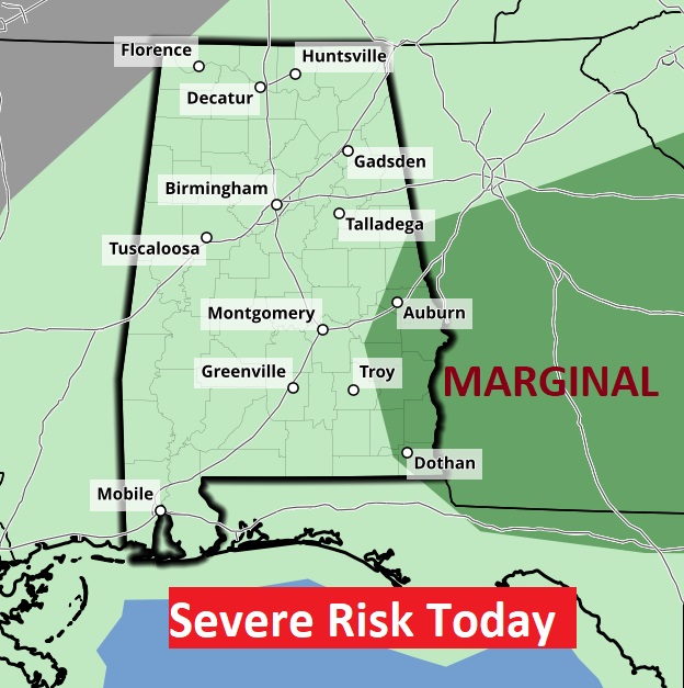
SPC says some storms could be strong, possibly severe in far east Alabama.
A frontal system will be the focus for the more numerous storms today, tomorrow and over the weekend.
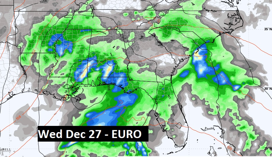
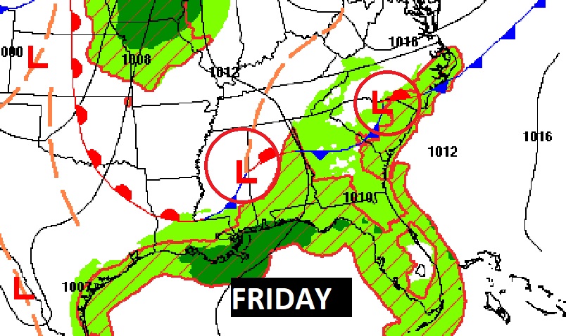
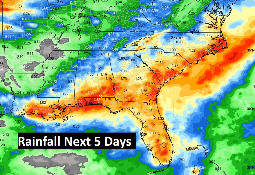
NEXT FEW DAYS: The Heat index will continue in the triple digit range each day. A heat advisory may be required this weekend. Like Wednesday, radar will be quite active again Friday. The storms will be random, but there will be locally heavy downpours. In fact, the elevated rain chance will be around each day through the weekend for here and the Gulf coast,
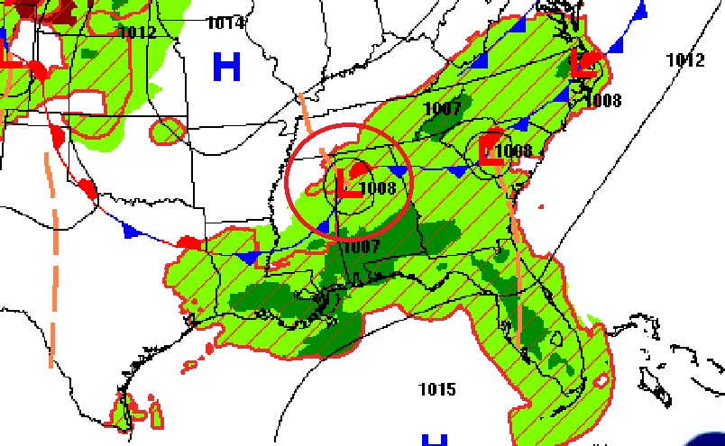
Coud bet wetter than normal across the south over the next few days.
TROPICAL UPDATE: NHC has two “X”s on the map one in the southern Caribbean heading for the Gulf. The other disturbance in the Tropical Atlantic heading for the Islands, In fact 95-L has a 70% chance of developing to Tropical Storm status before it reaches the islands. The next two available names are Beryl and Chris.
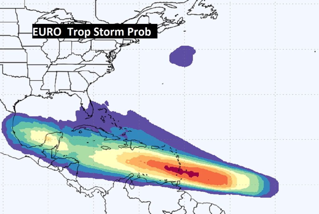
There is a rather high probability of Tropical Storm development in a large zone between the tropical Atlantic and the Caribbean and into the Gulf over the next several days according to the Euro model.
Thanks for reading the blog. There will be another complete Blog update and video forecast discussion tomorrow morning. This morning, everything is normal including LIVE on the Radio from 6 to 9AM on NewsTalk 93.1 – WACV. Have a nice day!!
–Rich