
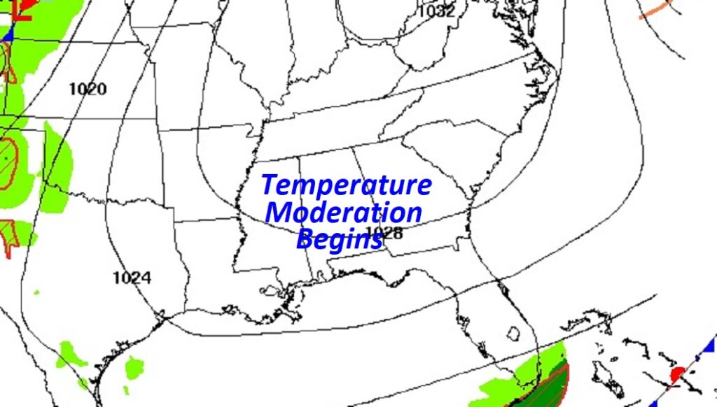
Good morning! We’re not done with the early season chill yet. But, changes are on the way. The Canadian chill will fade and retreat. We’re back to the 70’s today after a very cold start. We’ll be back to the upper 70’s by Saturday & near 80 by Sunday. Next week will be warmer with highs in the 80’s. This storm-free dry pattern will continue for several more days. Here’s my brief forecast discussion.
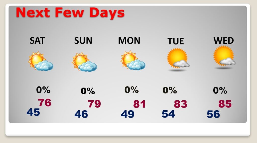
TODAY: Sunshine. Not as cool. High in the lower 70’s. East wind 5 to 10 mph. Clear still chilly tonight. Cold again. Low in the mid 40’s (Normal hi/Lo 80/54)
.
NEXT FEW DAYS: It’s a dry forecast for several more days. The Canadian chill is fading and retreating. We’ll be back to the upper 70’s by Saturday & near 80 by Sunday. Next week will be much warmer. Highs in the 80’s will be back with 50’s at night.
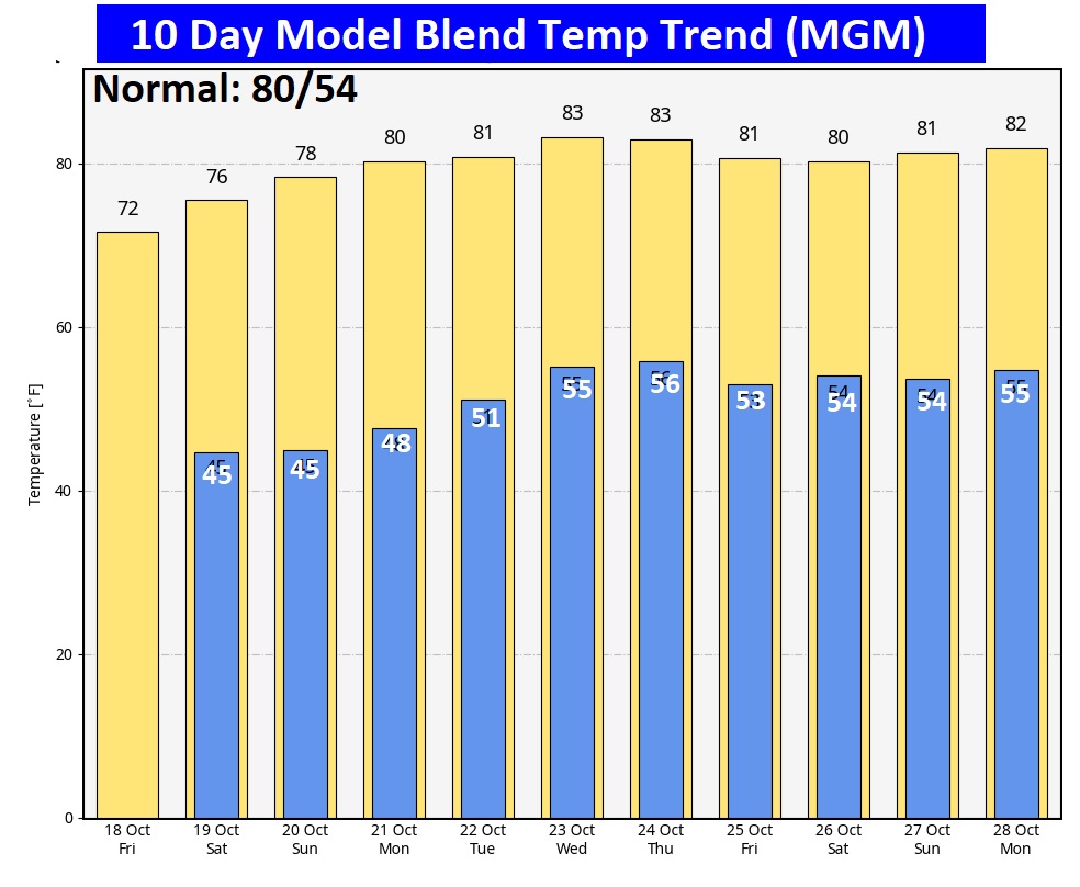
The 10 Day Model Blend Temperature Trend. Check out the major warming trend in our future.
.
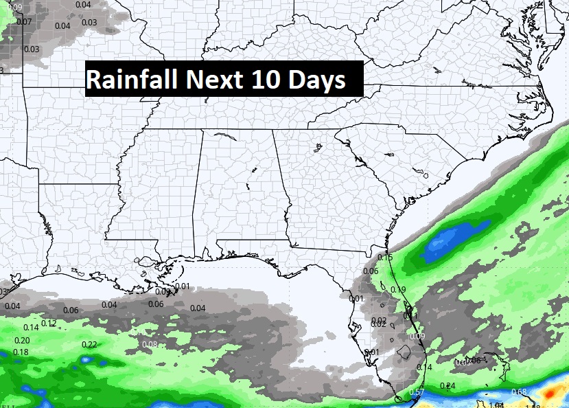
Dry for several more days.
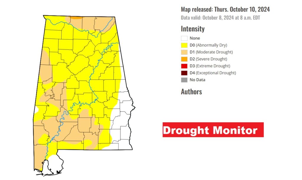
Now at least 36% of the state is in a growing modeate drought or more level.
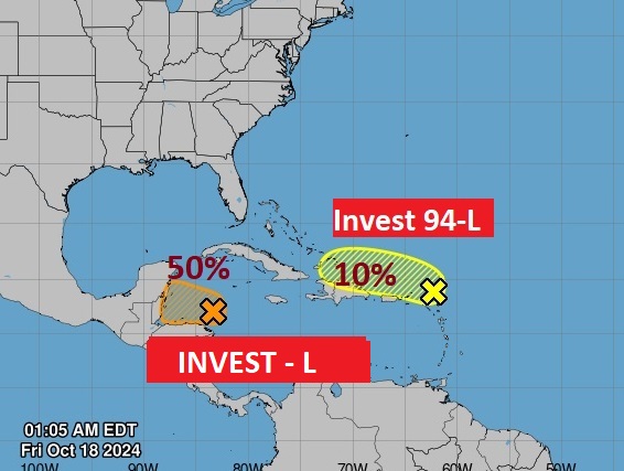
TROPICAL UPDATE: Invest 94-L has a lower 10% chance of future development as it heads toward the islands. Also, there’s a small Invest 95-L in the west Caribbean. It now has a 50/50 chance of future development.
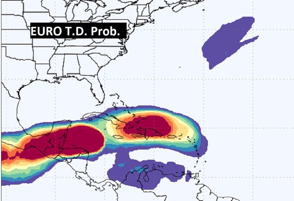
Here’s the EURO probability of tropical development. It favors the weste Caribbean and southwest Gulf.
Thanks for reading the blog. There will be another complete Blog update and video forecast discussion tomorrow morning. This morning, everything is normal including LIVE on the Radio from 6 to 9AM on NewsTalk 93.1 – WACV. Have a nice day!
–Rich