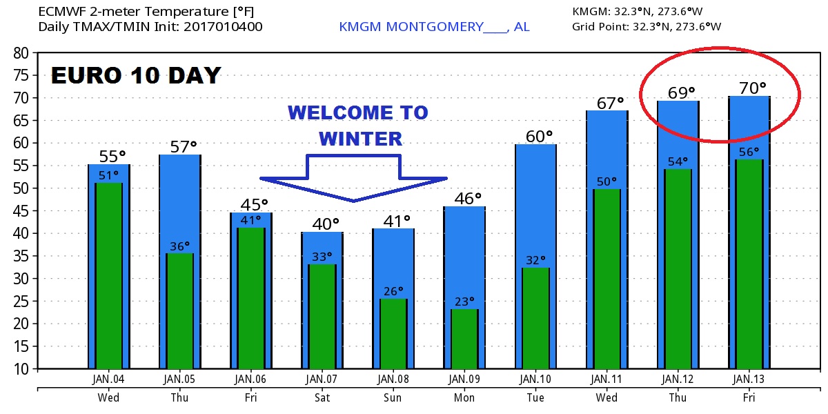
Good Morning! Much colder air on the menu. That’s part of the story. A Gulf disturbance, riding along the southern end of the cold air sets up, the classic dilemma. Could there be some sort of wintry mix or a little snow by Friday night? And, could there be some accumulating snow? It’s a complicated scenario. I’ll break down the details, as we know them, plus the latest cold new numbers for the first full weekend in January. Sit back with your cup and coffee, I’m about to brief with you with the latest on your Wednesday morning video.
Models disagree on the chance of accumulating snow. 3 models. 3 possible scenarios. The truth lies inbetween.
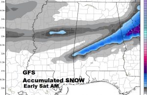
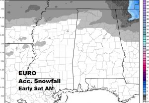
One more model…the NAM (North American Model) This is late information, as I make this. It now prints a tiny band of accumulating snow in central Alabama, like the GFS.
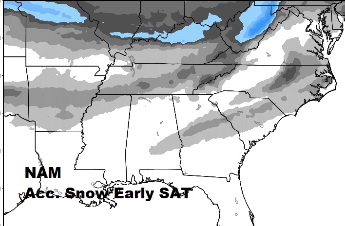
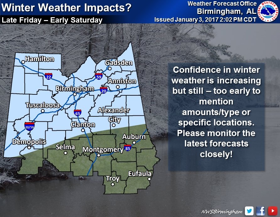
I like this compromise from the NWS. Chance of a little accumulating snow, perhaps, along and north of a line from Alex City, to Clanton, to Demopolis. How much snow? Time will tell with future models runs later today and tomorrow.
Are you ready for some cold air? Get ready. The cold is coming in steps… here’s a sample of one model. The Euro out 10 days. Projected wind chill could reach 10-15 degrees by Sunday morning.
