Good Morning! It will feel a lot like summer this week, complete with some unusually warm days and maybe some “heat of the day” showers roaming around. We’ll probably see our first 90 degree days by late week. Could there be severe weather this weekend, with this next strong front? We’ll look into that, plus the latest on timing and strength. It’s your 2 minute Monday morning personal weather briefing, with your toast and coffee.
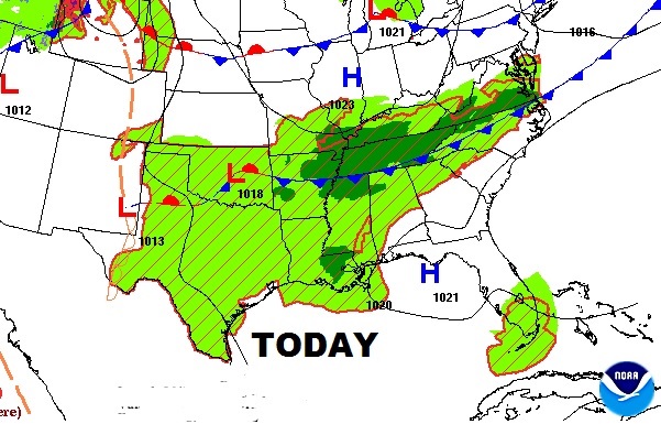
Weak front will move into the Tennessee valley today, but it should fizzle before it reaches us, just like many fronts in June and summer. It’s very much a summer pattern with highs actually close to or at 90 degrees later this week. Pop up heat of the days showers or storms area possible, but they will be isolated.
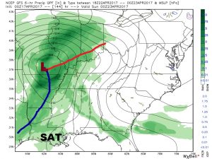
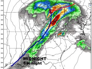
Big question marks remain about an important cold front which will move into the state this weekend. The models disagree on timing and strength of this system. Still a little too early to speculate on possible severe weather as this front moves through. It’s not out of the question. Here’s the GFS. It’s a little more concerning, because of the track of the low is a little farther south.
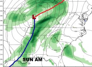
The Euro is a little faster and the low is farther north. Not as concerning.
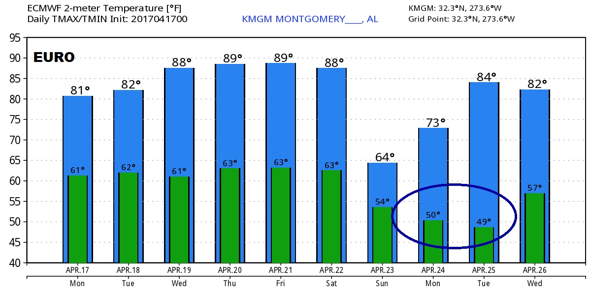
Significantly cooler behind the front, especially some chilly mornings. Here’s a sample of the Euro guidance.