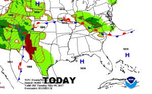
Good Morning! Big bubble of high pressure right on top of us spells a little taste of Summertime in May. We have a chance to be at or above 90 next 3 days, before a late week front brings showers and storms back into our forecast. How strong will the front be, and will it be out of there before the weekend? I’ll give you a preview of what to expect for the big Mother’s Day weekend.
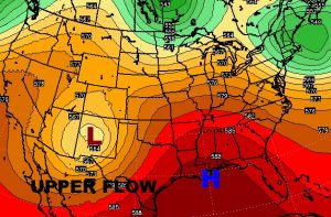
Big bubble of high pressure at the surface and aloft will not only keep us dry for the next 3 days, it will allow us to heat up as the air aloft sinks under the high, and warms.
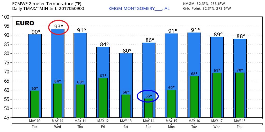
The Global models agree…tomorrow will be the hottest days this week. The coolest morning will be Sunday…Mother’s day.
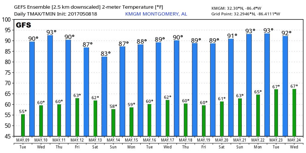
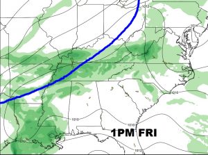
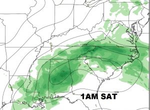
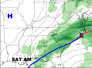
That next storm system on Friday could possibly bring a few strong to severe storms to the state, but I do not think severe weather will be prominent or widespread.
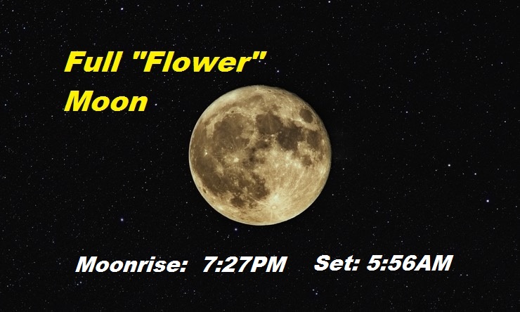
Full “Flower” Moon tonight.