Good Morning! Storms will start to thin out for a couple of days. I’ll fill you in on a couple of very hot July days ahead. We’re already looking ahead to the weekend, and a frontal system which will bring showers into the state. Will front make it all the way to the coast? Plus—something brand new in the tropics. Here’s your Wednesday morning personal weather briefing.
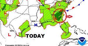
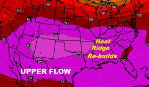
That disturbance which brought widespread showers/storms to the area last few days has moved to the Southeast coast. Meanwhile, high pressure is re-building in the upper levels of the atmosphere which will lead to fewer storms and hotter days again.
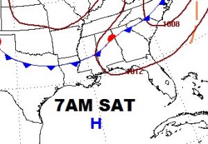
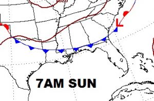
The key to the weekend forecast involves a rare summer front which increase the showers/storms Saturday and may make it all the way to the Gulf coast by Sunday.
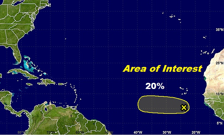
NHC is watching a new disturbance in the far east Tropical Atlantic with a 20% chance of envelopment next few days.