MARIA TERRORIZES PUERTO RICO– SPECIAL WEDNESDAY VIDEO: (8:00 AM 9/20/17) Hurricane history of the worst kind being made in Puerto Rico now, I’ll bring you up to date on what’s happening with Monster Maria now and Maria’s potential future. Will this Dangerous Hurricane affect the United States. All that, plus an update on our local forecast through the weekend on this Special Wednesday video.
Category 4 made landfall in Puerto Rico at 6:15AM local time, with 155 mph winds. First Cat 4 landfall since 1932. Here’s the final radar images from the San Juan radar before the radar failed at 5:06AM.
Now we are relying on Hi-res Satellite images. Here’s Maria dominating Puerto Rico this morning.
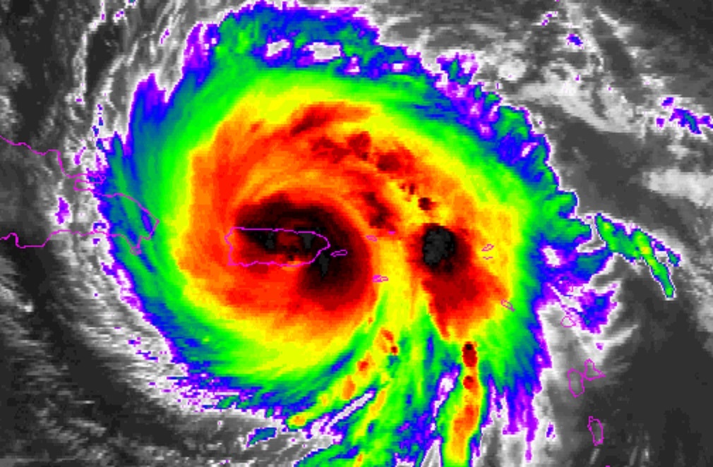
Besides the Cat 4 extreme winds, prolific rainfall and mudslides will create a catastrophic life-threatening situation today.
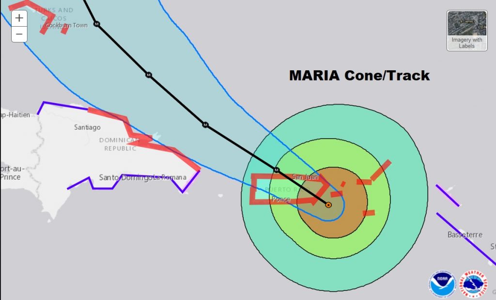
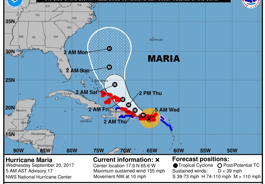
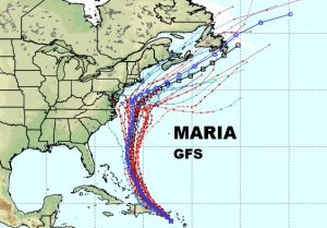
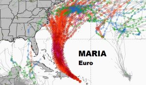
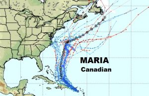
Jose off the US coastline could be an important player in the future steering of Maria. It could create just enough of a weakness in the high pressure ridge to facilitate a “corridor” that could keep Maria off the US coastline….maybe. Many unknown factors, Here are the global model spaghetti plots.
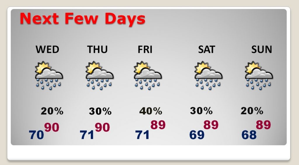
Our Local Weather will be uneventful next few days. Today storms will be widely scattered in nature, following that big cluster of evening storms last night. Today…partly sunny. High near 90. Low around 70. Fall officially begins Friday at 3:02PM. Here’s the next few days.
Everything is back to normal tomorrow. My alarm goes off at 2AM, you will have a video posted by 4:45AM. I’ll be LIVE on the radio tomorrow from 6-9AM on Newstalk 93.1. Have a good day. Keep the people of Puerto Rico in your thoughts and prayers.
–Rich
