Good Morning! Strong Cold Front sweeps across the state today. Rain with the front, then sharply colder behind the front. It will sure feel like winter next few days. I’ll show you how cold for how long. Plus, a couple of new wrinkles in the forecast as some secondary disturbances race through the area. And, your weekend plans will involve coats, gloves and hats, too. I have some very good updated information for you on your Tuesday morning personal weather briefing.
The front sweeps across the state today, with showers and maybe a few thunderstorms. The leading edge of colder air reaches somewhere around Montgomery by 6PM and into southeast Alabama by Midnight.
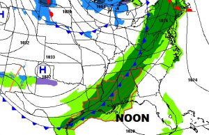
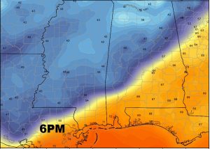
Future radar shows how the band of showers and thunderstorms moves southeast, with the most concentrated rain along and behind the front itself. A few showers could also break out in the afternoon in advance of the main front.
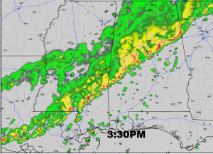
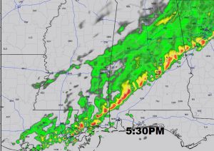
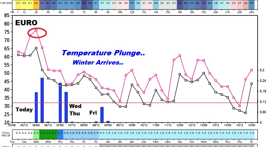
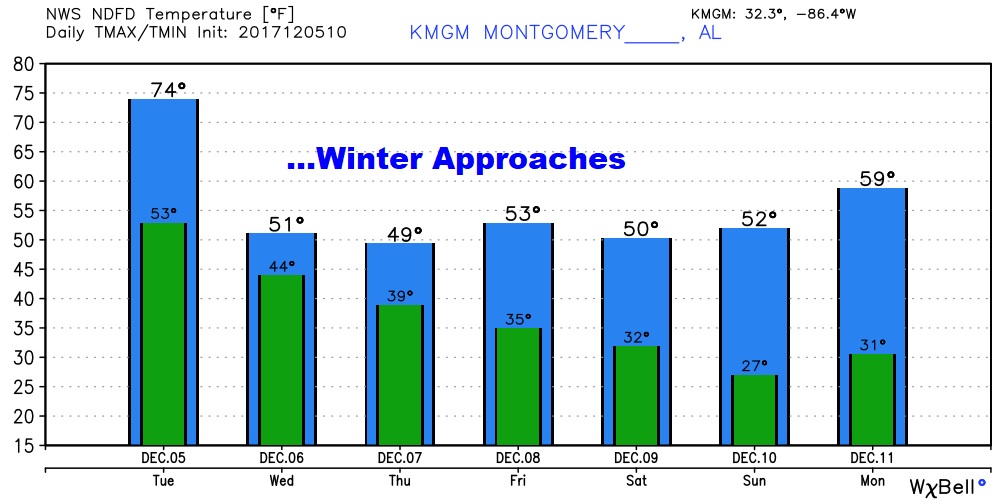
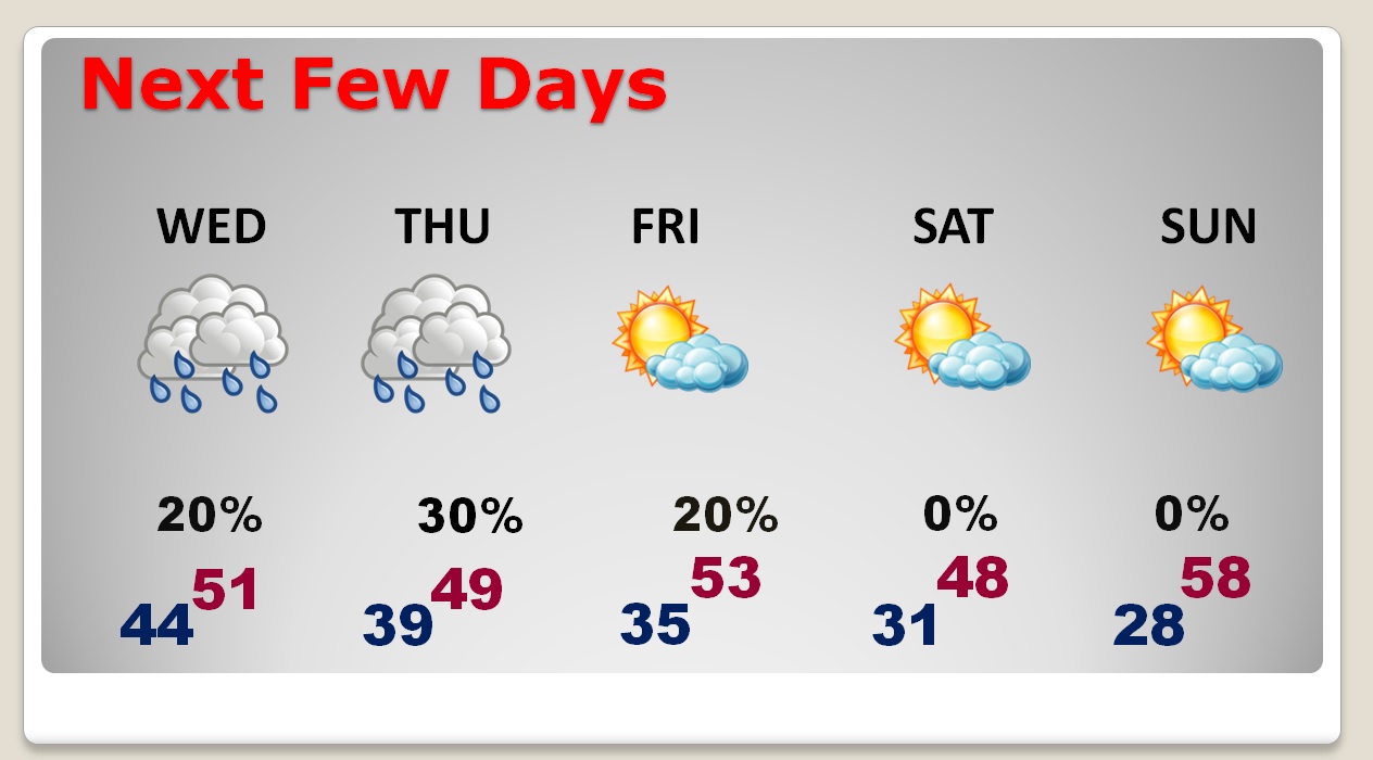
We will be in the 70’s today, but then sharply colder behind the front. Small rain chances remain for Wednesday through Friday as a series of secondary disturbances race through the Gulf states.
Another shot of cold air arrives Friday night/Saturday behind an Alberta Clipper. Coldest wind chill night could be Saturday night.
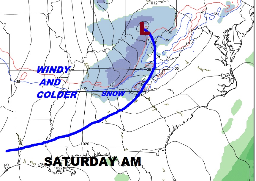
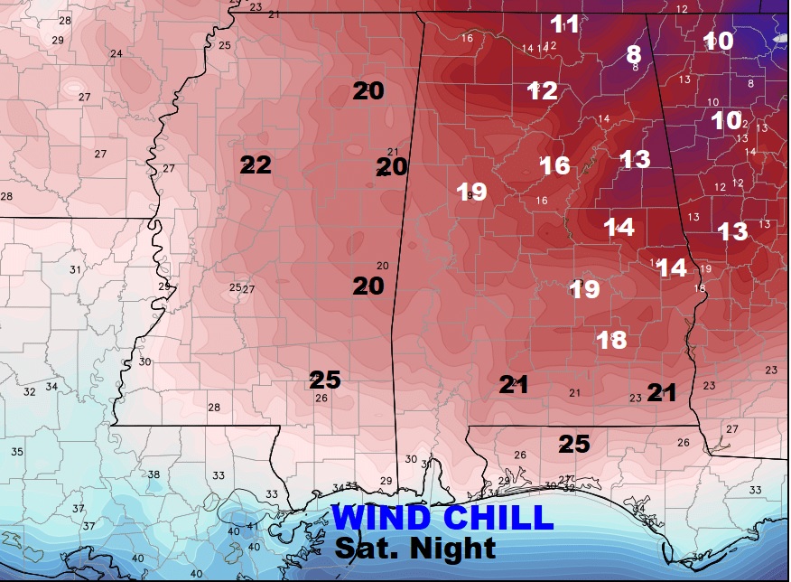
The EURO model continues to clearly show how shocking our drop and temperatures will be.
