Happy Friday! More record high temperatures will be threatened today and Saturday, but important weather changes are on the way. A frontal system will bring a round of showers and thunderstorms to the state late Saturday night into Sunday. Some of the storms could be severe. I’ll show you the latest outlook from the storm Prediction Center and the timeline of storms for us. Also on this video…more evidence of colder air on the way as we begin the month of March. Lots of good information, in brief couple minutes, on your Friday morning weather video as we get you ready for weekend weather changes.
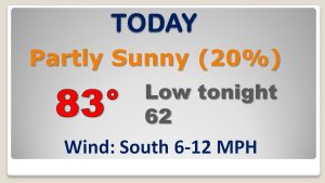
We had a record high of 84 yesterday and we will be close to today’s record high again today, which is 83 from 1996. Rain chances will be small but not zero.
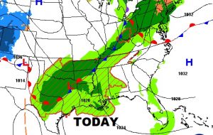
A strong frontal system approaches from the west over the weekend, bringing a round of strong to severe storms entering the state late Saturday night into Sunday.
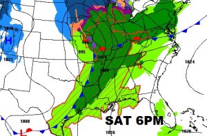
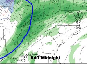
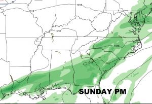
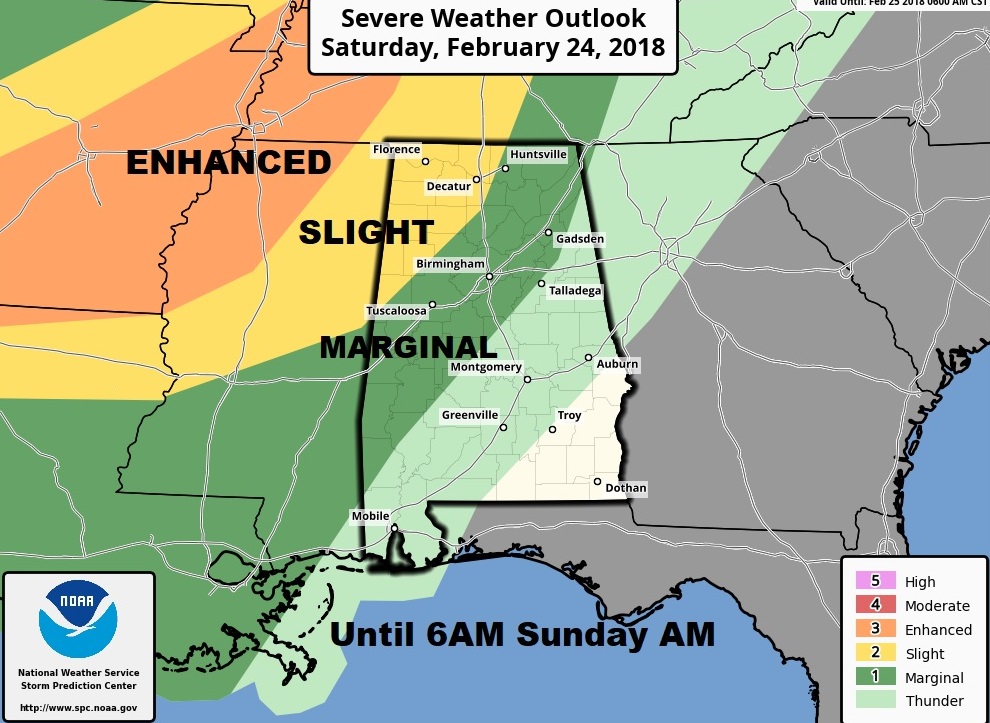
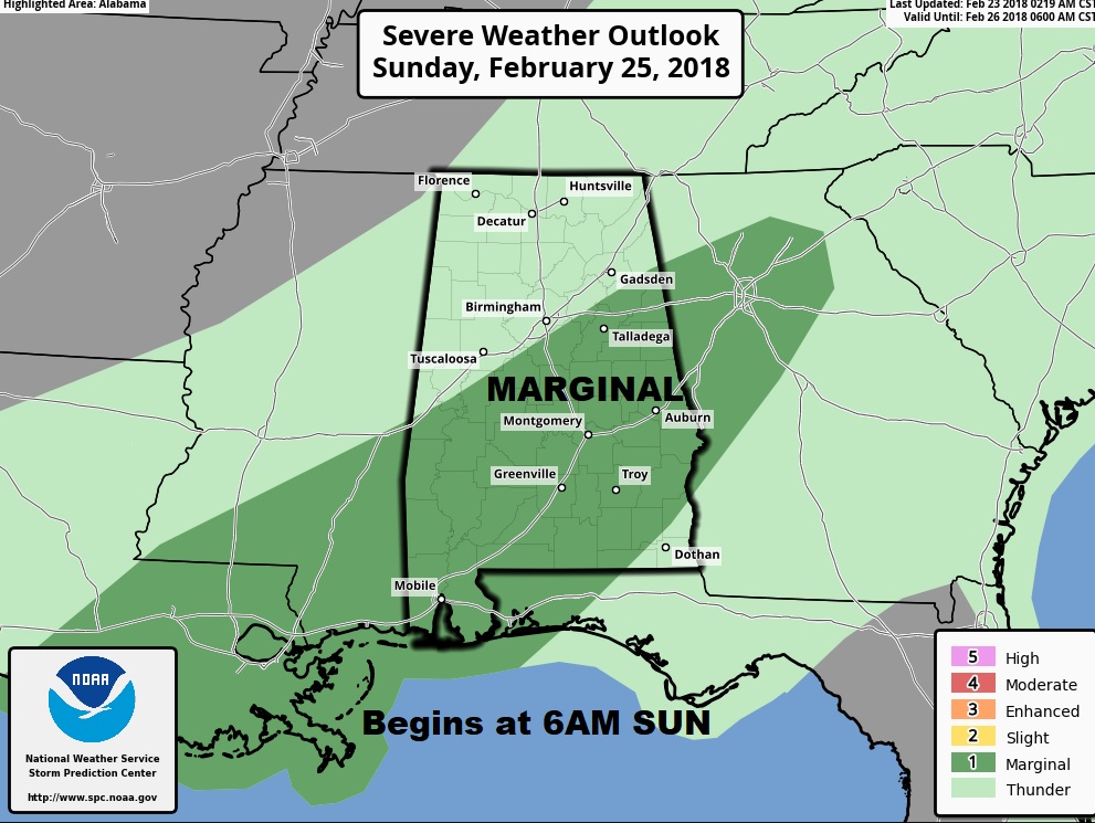
Storm Prediction Center shows the strong threat in our state in NW Alabama Saturday night, through 6AM Sunday, then the threat shifts into central and south Alabama during the day Sunday, with a Marginal Risk. Damaging wind threat, and tornadoes can not be ruled out.
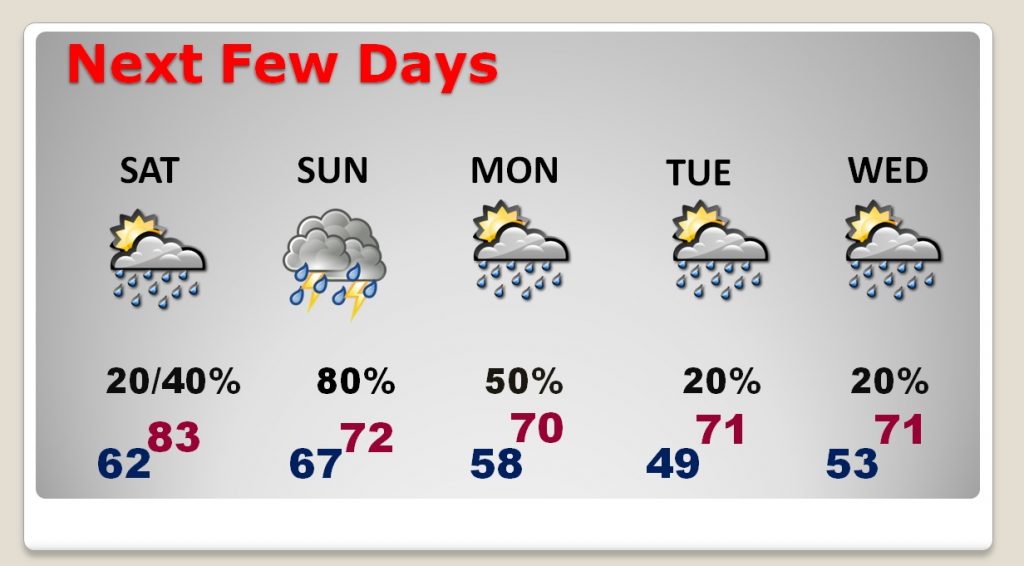
80’s again for Saturday followed by showers and storms Saturday night into Sunday and Monday. Temperatures will be cooler. Another storm system by midweek.
The GFS shows that pronounced temperature slide as we head toward March.
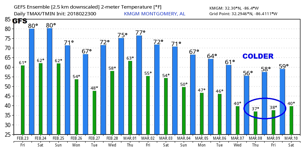
.
