Good Morning! ..and it is a GOOD morning. Our wait is over. Drier air is overtaking the state. Finally, much lower humidity and some nice days and cooler nights. But, for how long? We’ll look at the week ahead, and I’ll show you when summer heat and humidity and storms will return. I’ve got and early preview on the weekend. And, we’ll check the tropics too on your Monday morning personal weather briefing.
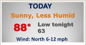
Wave goodbye to the humidity for now! This will be a rare, comfortable June day, thanks to the front which moved through overnight. RELIEF…finally…
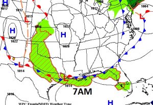
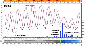
2 or 3 comfortable days and cooler nights, before summer slowly edges back into our lives. Thursday through Sunday will be humid again. We take a break for showers & storms for a few days, but “hit or miss” storms return this weekend.
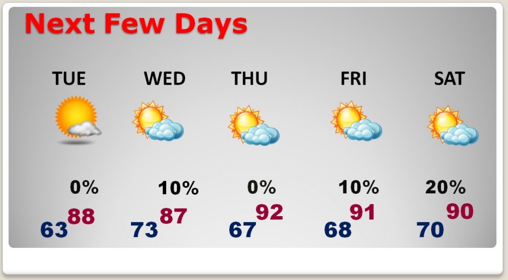
EURO model shows a dry work week, followed by the return of random storms this weekend and next week.
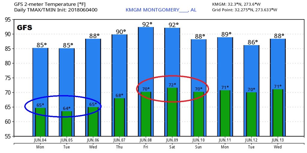
The GFS shows about 3 nice nights to start this week…but then look at the heat returning late week into the weekend, along with the humidity.
