Happy Father’s Day to all the dads out there. Hopefully, today’s grilling duties will be passed on to somebody else. But, we may dodging raindrops again. In fact, our better than normal chance of storms continues for one more day, today. I know – you keep hearing that storms will start to “thin out”. I still think there will be fewer storms in the week ahead, starting tomorrow, as a bubble of high pressure builds, and replaces that low which has haunted us for days. Yesterday was feast or famine. Some of you had more than an inch. The Montgomery airport had 0.00”. A few of of you have had up to 5” in 7 days. At my house I’ve had .81” in a week. Feast or famine, indeed.
TODAY: Showers & storms will become scattered to numerous today, particularly from lunchtime on, in through much of the evening. High today near 90. Low tonight 72.
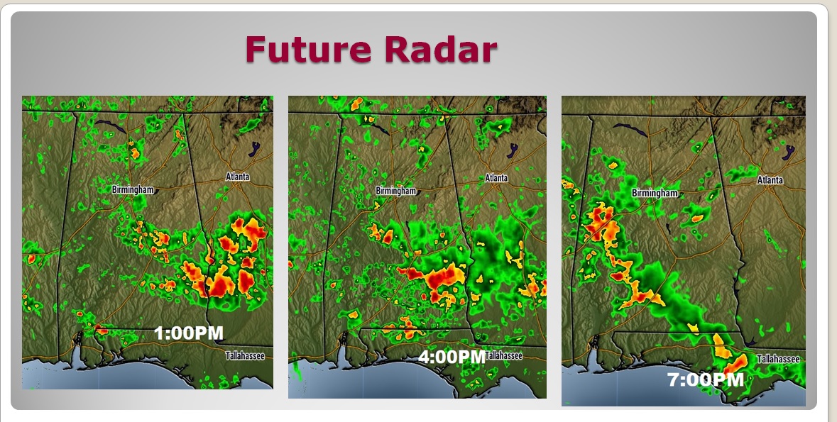
FUTURE RADAR: Once again today, radar will be quite active, and colorful. Storms will be in rather generous supply. But, again, they will be random. Not every town will get one. Have a plan “B”. You might have to move Dad’s festivities indoors at times. Here are some Future Radar snapshots.
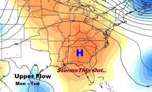
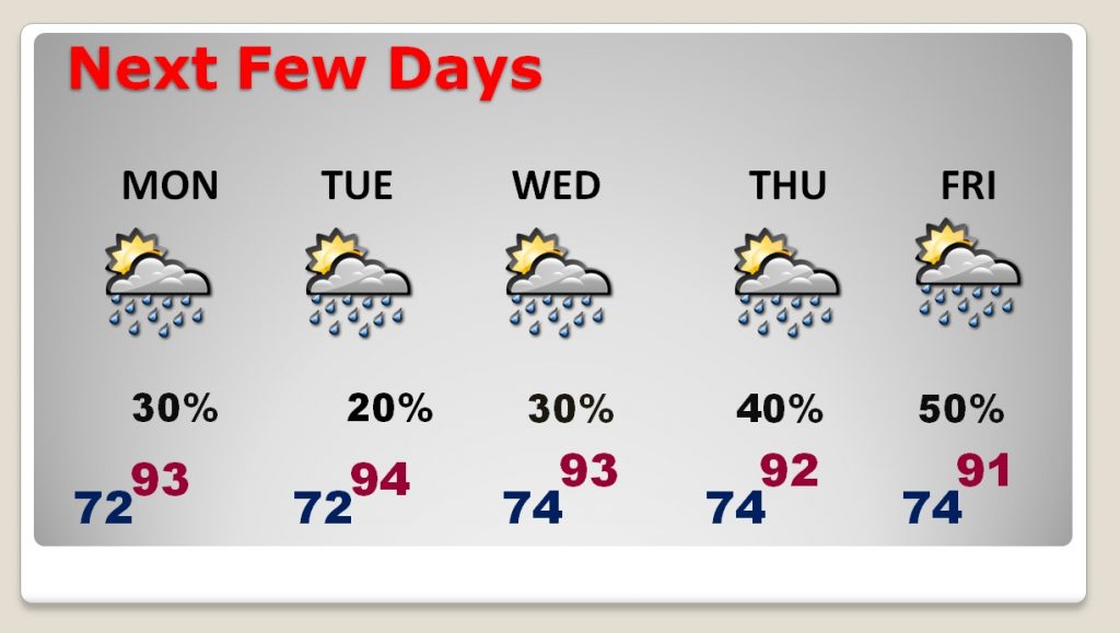
NEXT FEW DAYS – UPPER HIGH BUILDS: For days I have been telling you about an upper high that will build over us, leading to fewer storms, more sun and hotter days. I think that high will be most prominent from Monday through Wednesday. Storms may increase again by the end of the week.
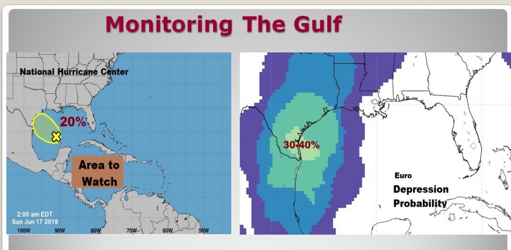
GULF DISTURBANCE AIMING FOR TEXAS: There was quite a surge of convection in the Gulf yesterday with that “area to watch” (formerly Invest 91-L). NHC still has a low 20% chance of development. The Euro model is a little more generous with a 30-40% chance of a depression forming in the SW Gulf as the system edges toward Texas. The rest of the Atlantic basin is quiet.
—
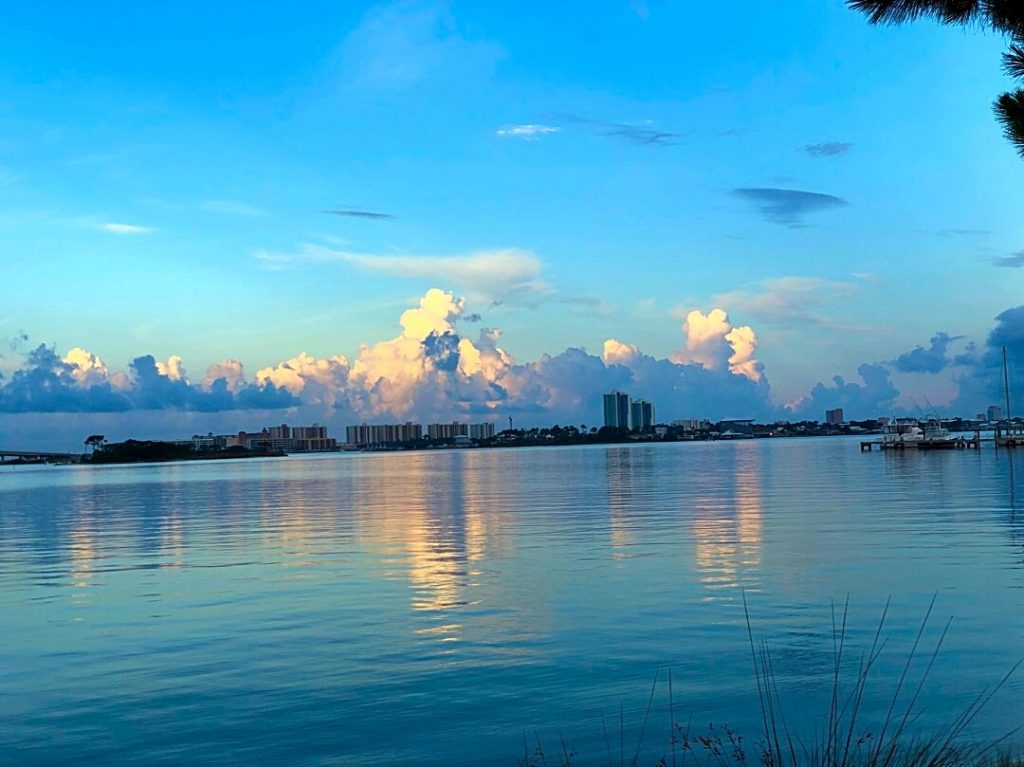
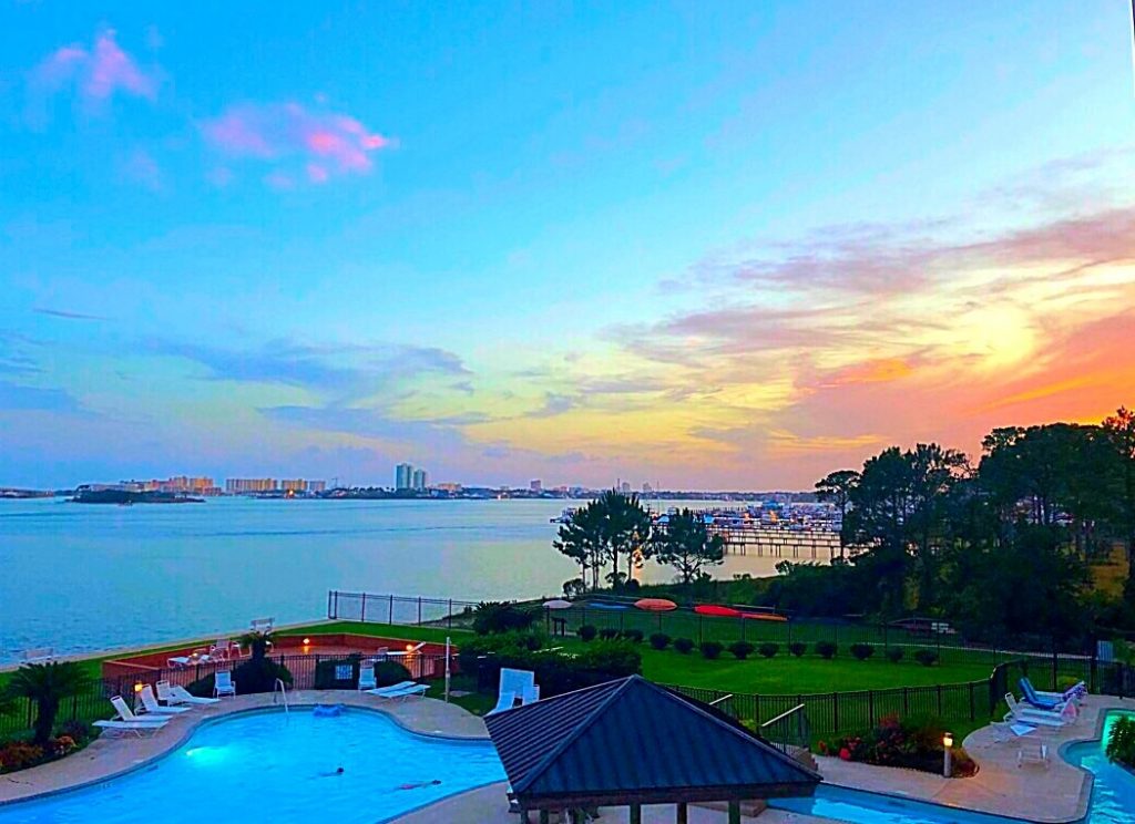
Good morning, again, from the Alabama Gulf coast! Beautiful Saturday here yesterday from sunrise to sunset, and in between.
I’ll have another complete blog update Sunday morning around Dawn. Have a nice Sunday! Again, to all Dad’s, Happy Father’s Day!
Rich
